One of the most recognizable landmarks of San Francisco is the Golden Gate Bridge, especially the perspective from the Marin Headlands. The Marin Headlands themselves are beautiful sea cliffs with sweeping views of San Francisco, the Golden Gate Bridge and the Pacific Ocean. The initial climb is a challenge and great training while the descent is extremely steep with sharp turns. It has the perfect mix of beauty and challenge. All of this excitement is accessible with a short ride just across the Golden Gate Bridge.

Three time Tour de France winner Alberto Contador riding the Marin Headlands PHOTO courtesy of Velodramatic.com and IamSpecialized.com
Try this ride out as a trainer for climbing or just as an introduction to cycling in the Bay Area like Alberto Contador did on October 4, 2011 with some friends from Mike’s Bikes.
This route is fully open again. For more information regarding the recent improvements see Marin Headlands Closure Information for more details.
Distance: from San Francisco Ferry Building 15.18 miles
–Trail Starts at mile 7.7 of The Golden Gateway
–Trail Ends at mile 8.13 of The Golden Gateway — East Side Wee Fast Fun Route
Difficulty: The climbing is long and steep, but the initial descent is even steeper!
Climbing on Route: 925 feet (282 meters)
Descent on Route: 896 feet (273 meters)
Download your route sheet here: Directions – I’m Sky High
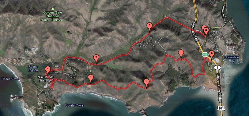
FOR A MORE DETAILED LOOK click here for the full Geoped Map provided by g-map-pedometer.com
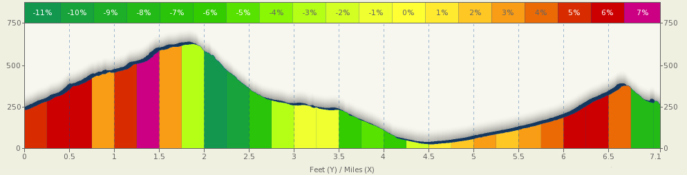
Elevation Map for the Route provided by MapMyRide.com
This route starts in the parking lot on the northwest side of the Golden Gate Bridge. This is at the end of the bike side of the Bridge.

The beginning of this path just under 8 miles from the start of the Golden Gateway. The climbing starts immediately out of the parking lot.
At the top of the stop sign, make a left and head up the hill.

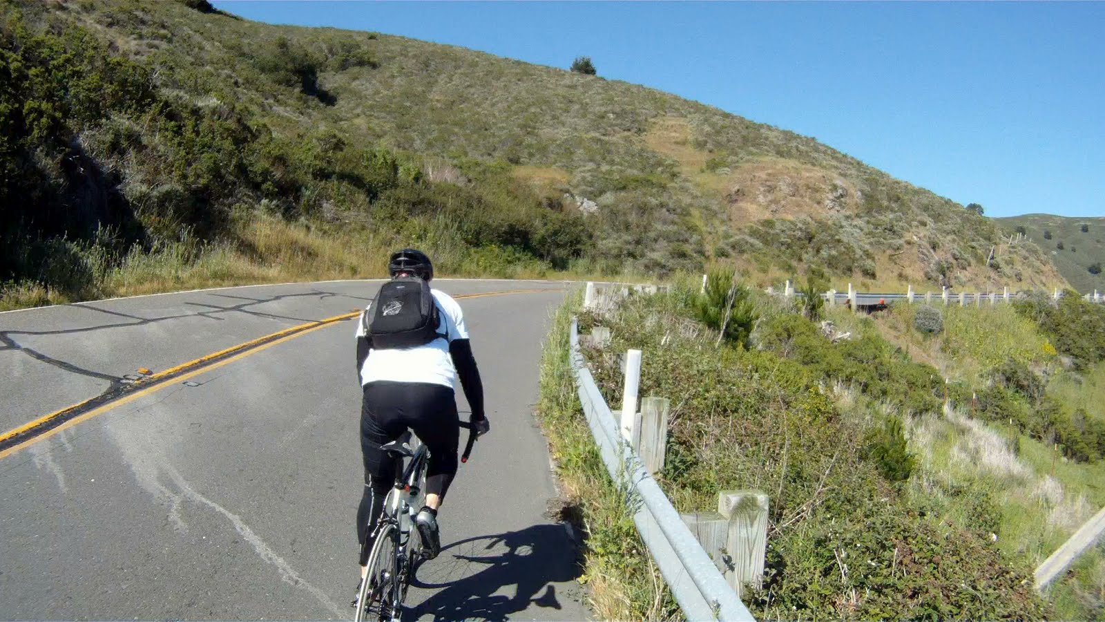
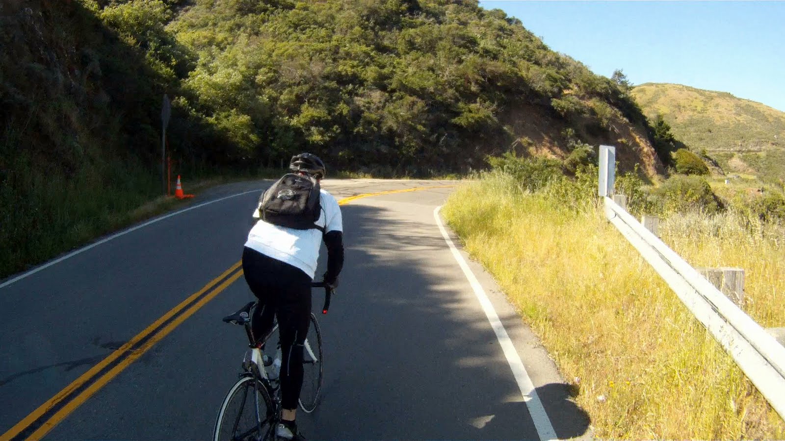
The first part of this climb is he steepest and the toughest. Just keep going and if you need a break, take it to admire the view at the first rest area.


Us taking in the view at the first rest stop
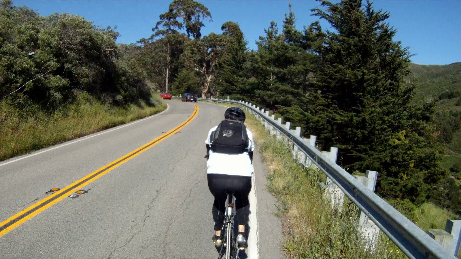
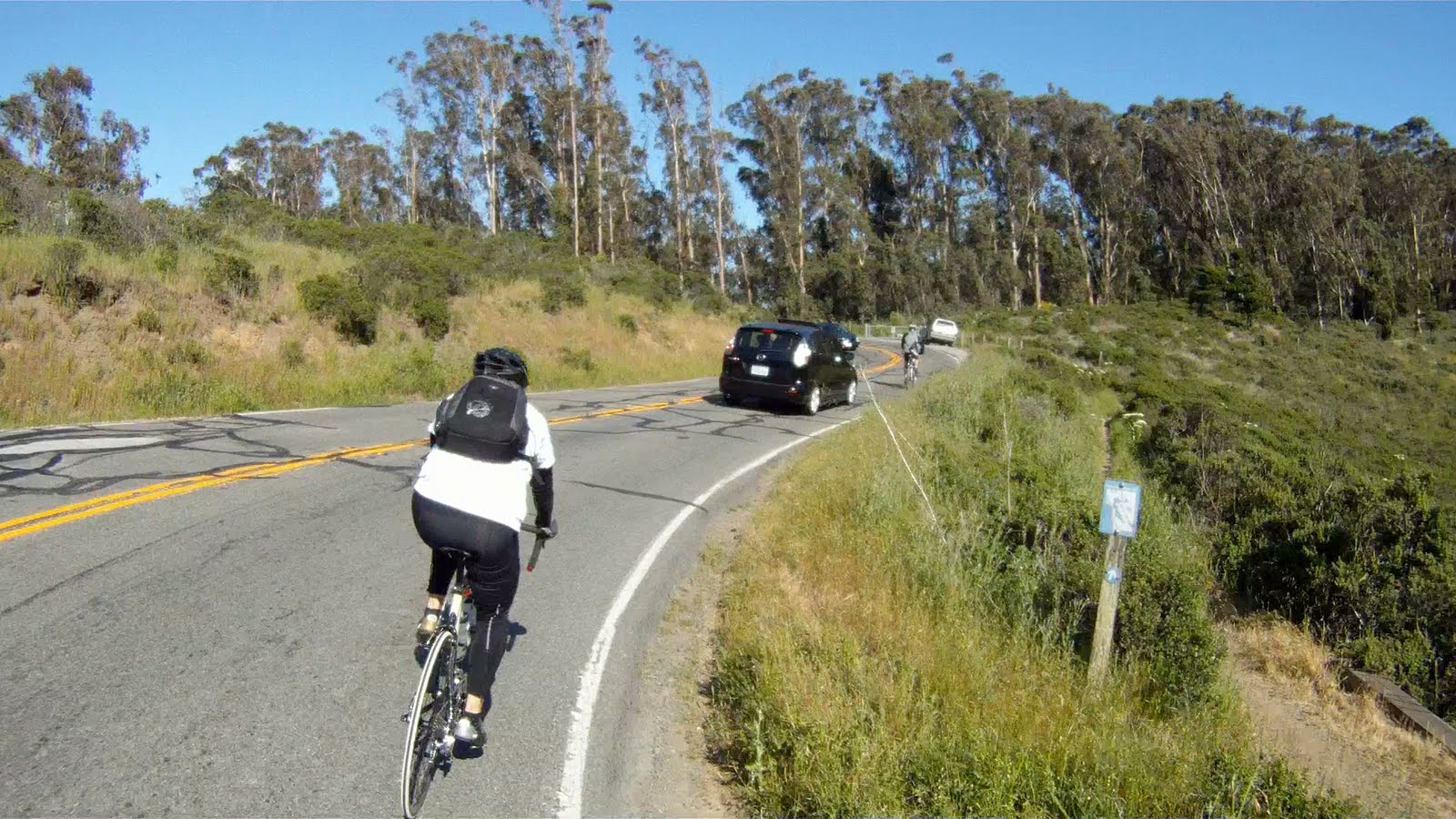
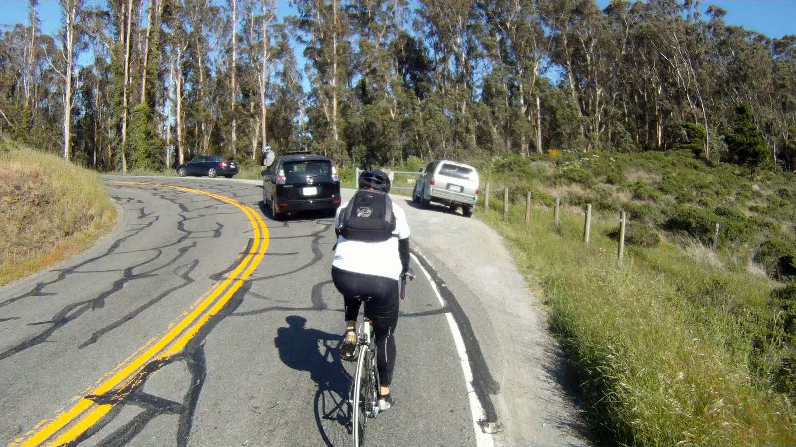
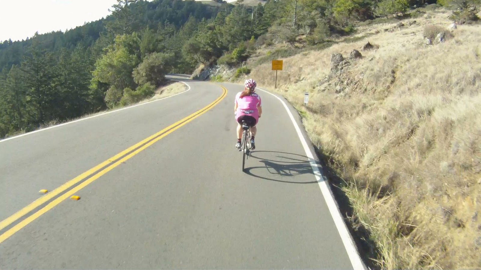
Though less steep, the climbing continues up to the round about.


If you take the first exit of the round about, you will go down McCullough Road toward Bunker Road and back to Alexander Avenue towards US 101 through the tunnel.

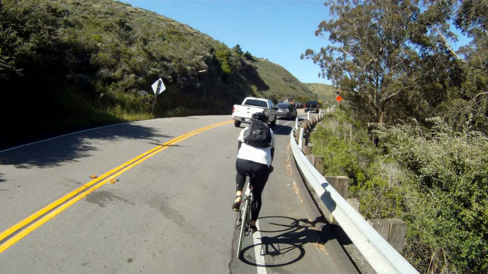
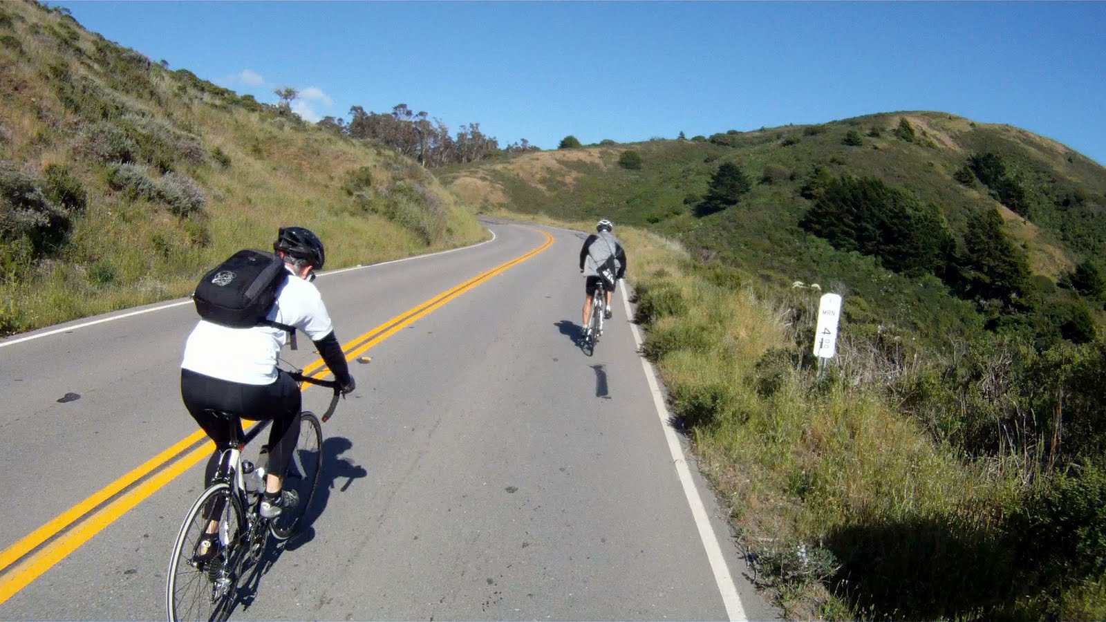
Keep going around the round about, and take the second exit to continue up the Marin Headlands.

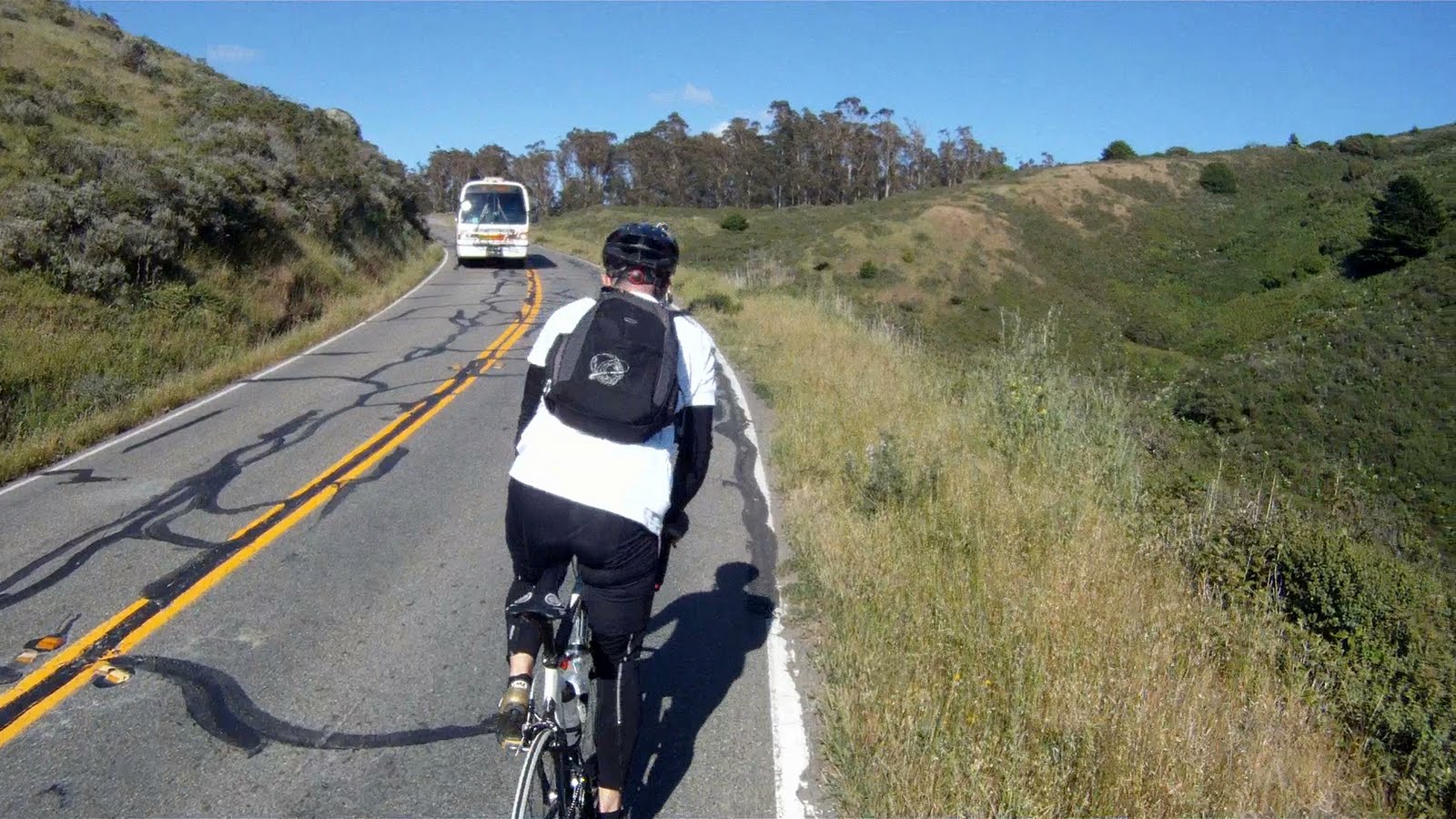
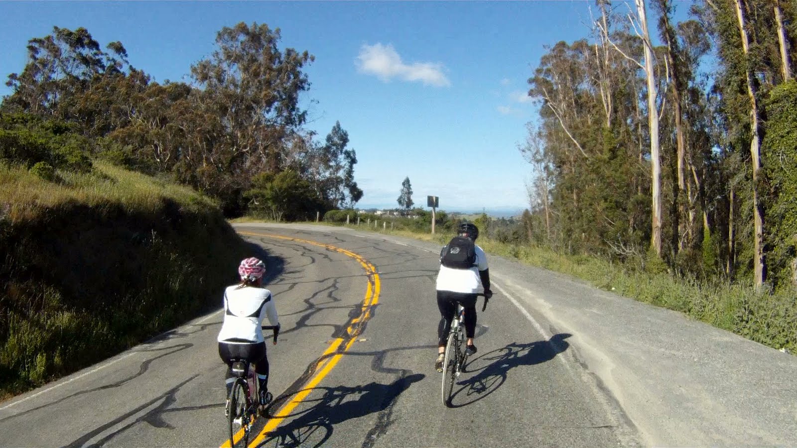
Keep climbing to get to the top, you have just under one mile to the top.


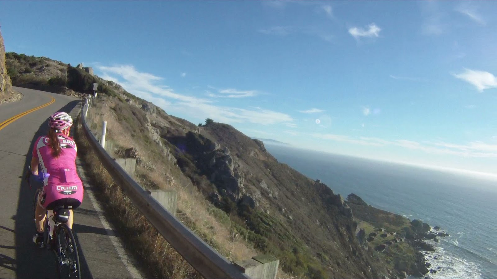
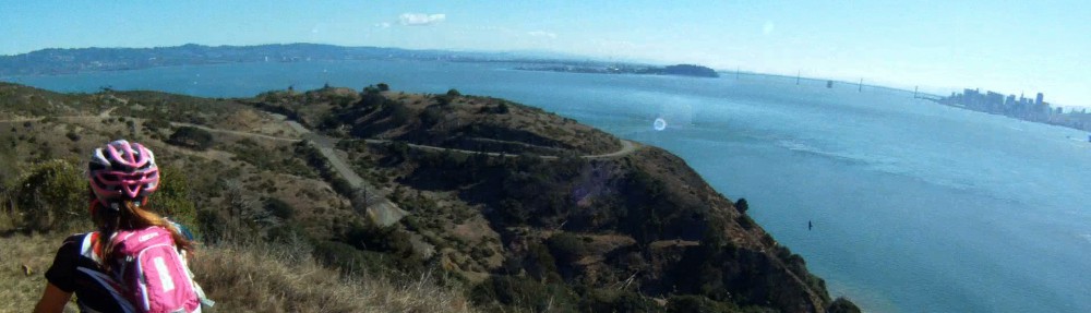
Take in the scenic views of the Golden Gate Bridge and San Francisco as you are now higher than the bridge’s towers.


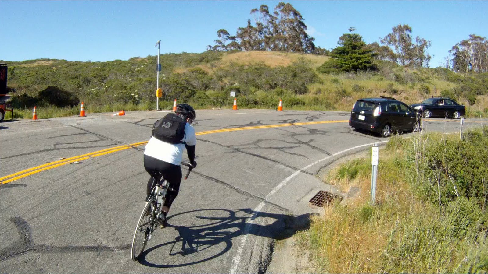
The tunnels signal Hawk Hill, the top of the Headlands, where you can take a break and take in the views, wait for or catch up with the rest of your group before turning around, or prepare for the hair-raising descent down the back of the Headlands.


Miko and Jon take in the views from the top of the Marin Headlands

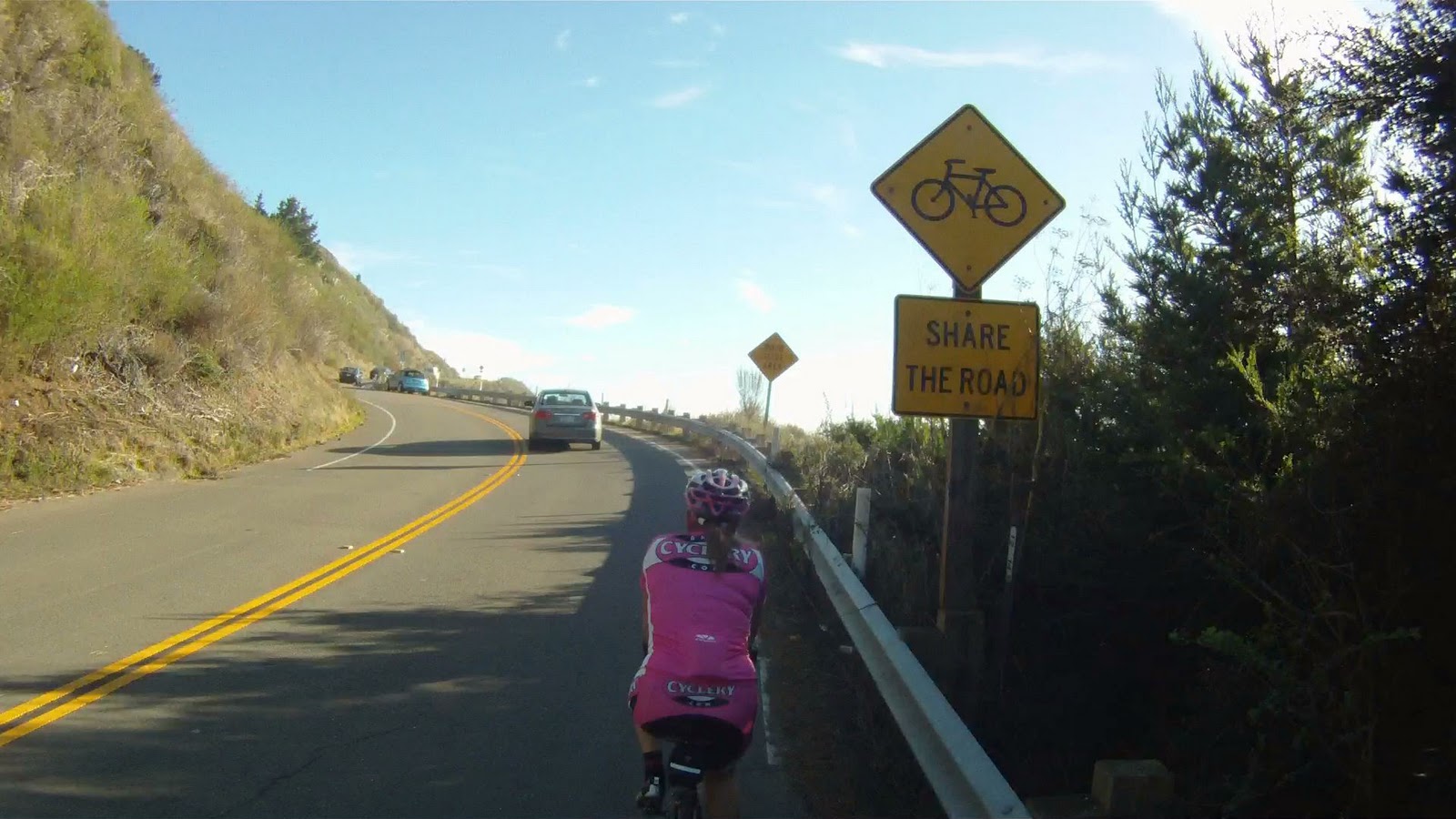
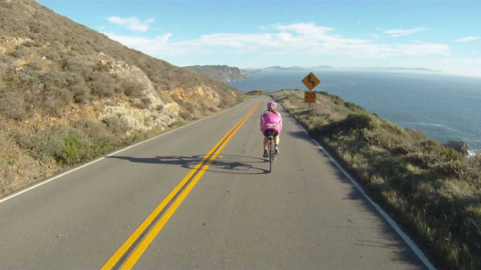
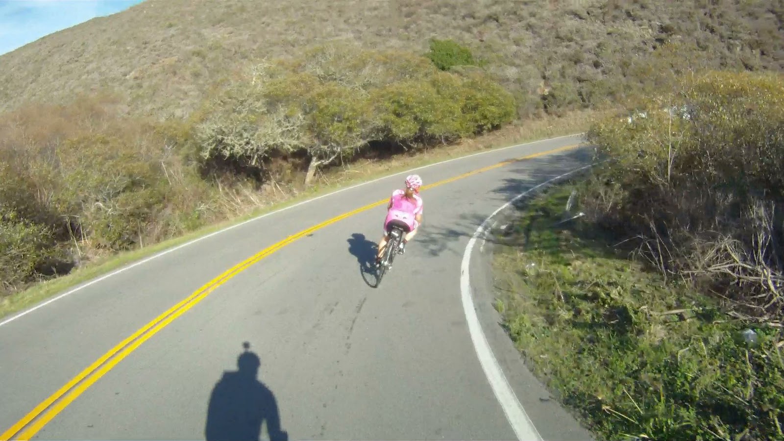
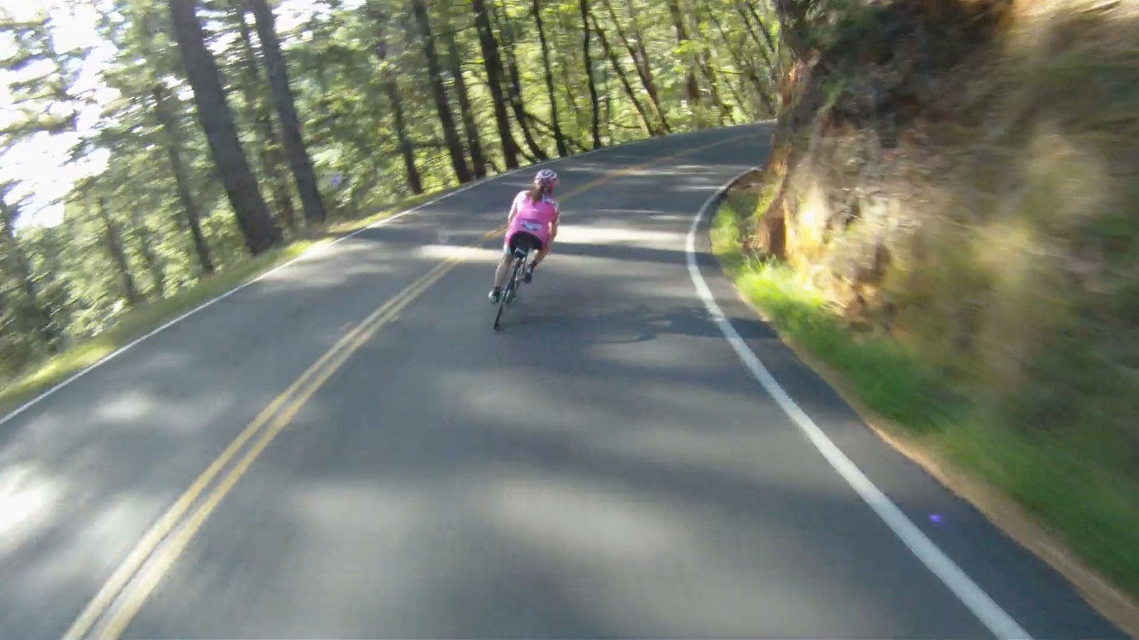
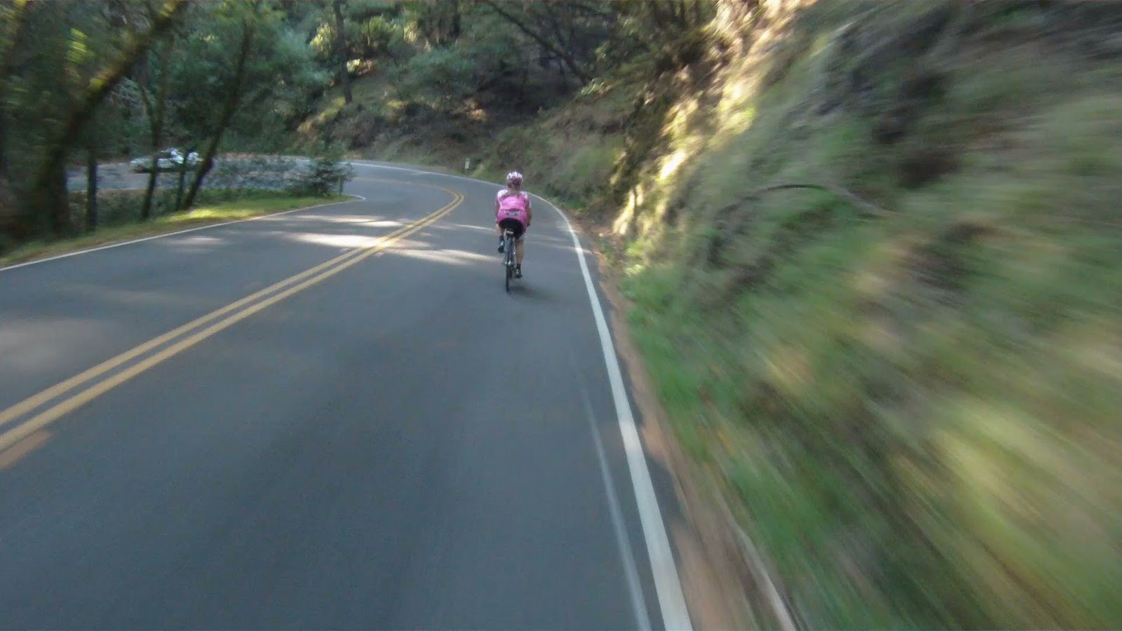
The narrow, one way road is just the beginning of the challenges that face you on the descent down the backside of the Headlands.

The backside of Marin Headlands is not for the faint of heart, cause it’s all downhill from here!


“Hill” is an understatement, but the 18% grade is dead on! You build up speed quickly and two of the first three turns are 90+ degrees! Keep your descending class rules in mind: stay in the drops; just touch your brakes to regulate your speed, don’t hold them; inside knee up to pull your body into the turn; and always keep your eyes up and looking where you want to go because that’s where the bike is going to take you!


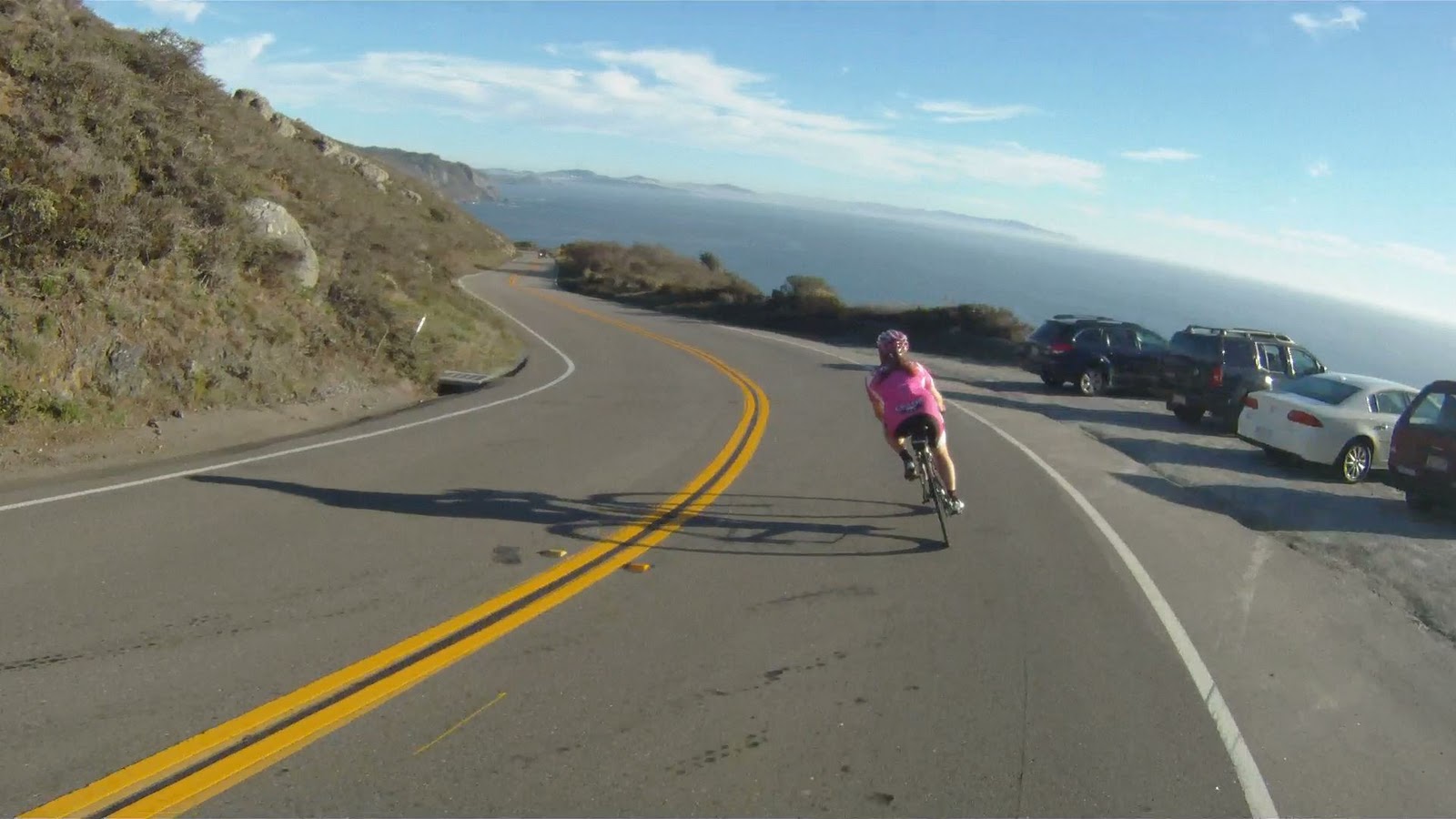
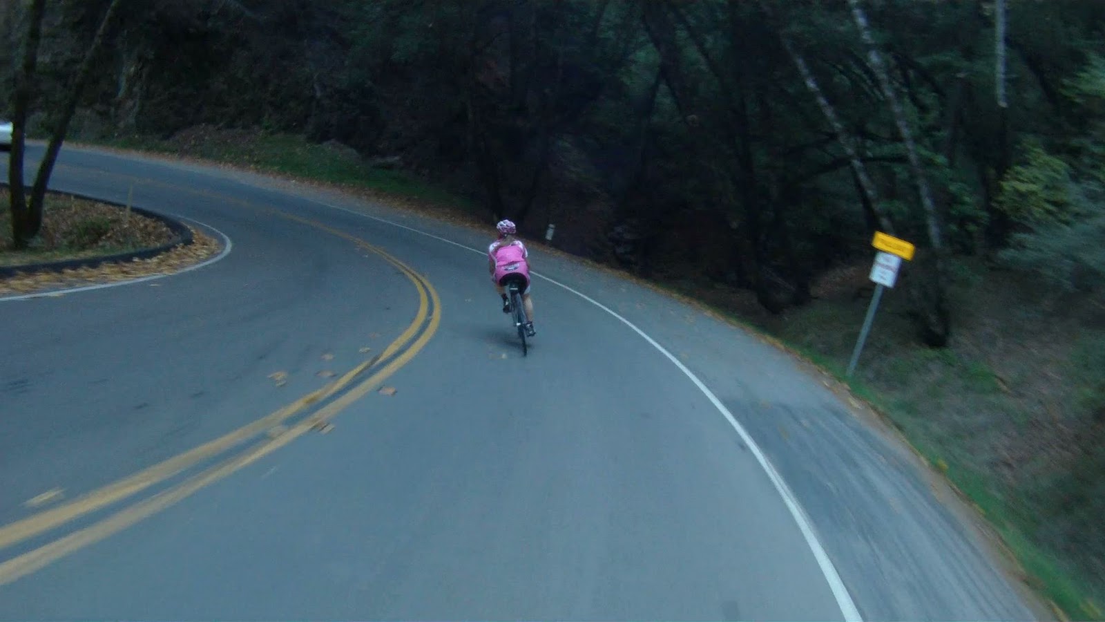
After that second right hand turn, the grade reduces but the speed stays high, so make sure to stay on your game.


Though the remaining turns are not as sharp and the grade not as steep, the rest of the way down is still wicked fast!


The descending turns to a short climb as you pass by the lookout point near the Upper Fisherman’s Parking Lot.

The Point Bonita Lighthouse is just up the road past the bunkers.

It is just a short climb before you reach the bunkers and Lower Fisherman’s Parking Lot.

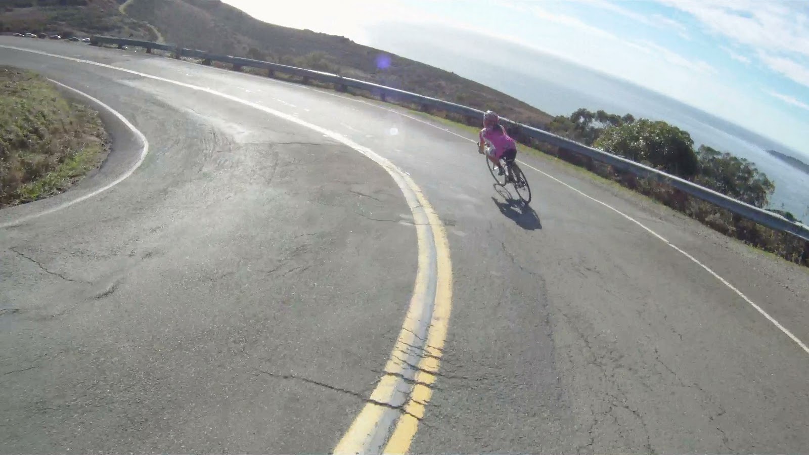
And a couple of more twisties before the main part of your descent is complete.

Turn right at the next intersection to head back to US-101 along Fort Barry Road. If you want to visit the Point Bonita Lighthouse, keep going straight, the road is two-way traffic again past the intersection.


Then another right at the stop sign.


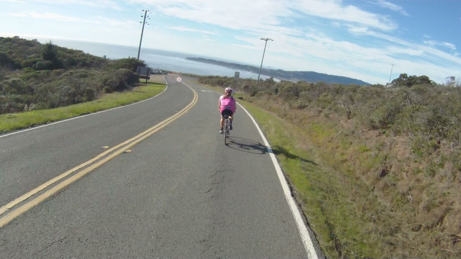
Follow Fort Barry Road down the hill and around the corner, notice the tidal pool and Sausalito Beach to your left.

You will then pass Simmond’s Road and the Marin Headlands Hostel on your right. Keep following Fort Barry Road as it becomes Field Road here.

Follow Field Road through the next intersection as it merges with Bunker Road toward San Francisco.


You are now on the Marin Headlands return route. It’s a slight climb back out to Alexander Avenue towards US-101 from here.

At McCullough Road you can climb back up the Headlands and descend the front side towards the Golden Gate Bridge, or you can keep along Field Road towards Alexander Avenue.

A bit farther down the road is the Bunker Road Tunnel. The tunnel is signal controlled by a stop light.

When the light turns green, head on through.

At the beginning of the tunnel there is a button to signal to the on-coming cars a biker is in the tunnel.


The tunnel is pretty dark, but the main obstacles are the water, mud and slime covering the bike lane. It’s all downhill, but your tires are never totally planted on the road, so be careful going through here.


Once you exit the tunnel, you are just about to the intersection with Alexander Avenue.

If you haven’t gotten your fill of the climbing or descending yet, you can always head back up Alexander Avenue to the Golden Gate Bridge and the beginning of the Marin Headlands to do it all over again by taking the fork to the right.

Or if you are ready to head on to other adventures, take the fork to the left and rejoin the Golden Gateway Trail for the descent to Sausalito.

The Marin Headlands is a challenging ascent and with an absolutely spectacular and breathtaking descent. This is a great route to work on both your ascending and descending skills when you don’t have a lot of time on your hands, or don’t want to travel too far from the city. Keep hydrated on the way up and your head up on the way down!
Enjoy!