
The route from Stinson Beach to Muir Beach takes place along the nicest part of the Pacific Coast Highway where the road is wide and well-paved, and the views are breathtaking. Long climbs followed by gorgeous downhills are the rule. Though the journey to Muir Beach has its share of climbing, it is also filled with picturesque views to distract. This return may not be as challenging as the ride back up Panoramic Highway, but it is definitely more rewarding. After grabbing lunch in Stinson Beach, gear up and enjoy the views of the Pacific Ocean while making your way to Muir Beach and the next stage of the return to Sausalito.
Distance from San Francisco 33.75 miles; from the Marin Crossroads 19.32 miles; from Somewhere Over the Rainbow 17.24 miles; from A Panoramic View 10.75 miles; from Roller Coaster Ride 6.60 miles
Difficulty: A Tough Initial Climb and Rolling Hills After
Climb: 712 feet of Elevation Gain
Download your route sheet here: Directions – Dog Days Are Over
Download your Ride to Stinson Beach and Return to Sausalito Route Sheet here: Directions – Bay to Beach to Ferry


Elevation Map for the Route provided by MapMyRide.com
When it’s time to leave Stinson Beach, you have a few options to consider. The first is to continue on to Fairfax-Bolinas Road to the north.

Ride along the main drag of Stinson Beach
You can also return the way you came along Panoramic Highway.

The turn from CA-1 back up Panoramic Highway
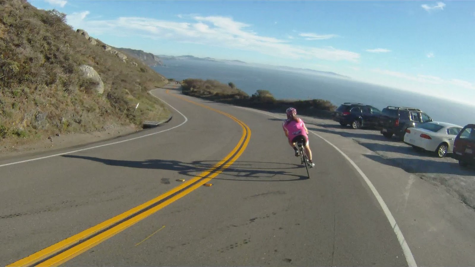
Or you can follow the Pacific Ocean along the scenic Pacific Coast Highway (CA-1) to Muir Beach. If you choose to follow the coast, you are in for a scenic ride.
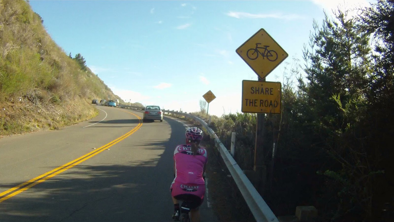
The beginning of the initial climb along the Pacific Coast Highway
The views of the cliffs, beach and ocean below make the climb much more tolerable.

View along the Pacific Coast Highway
But the views also tempt you to stop and take pictures frequently along the journey.
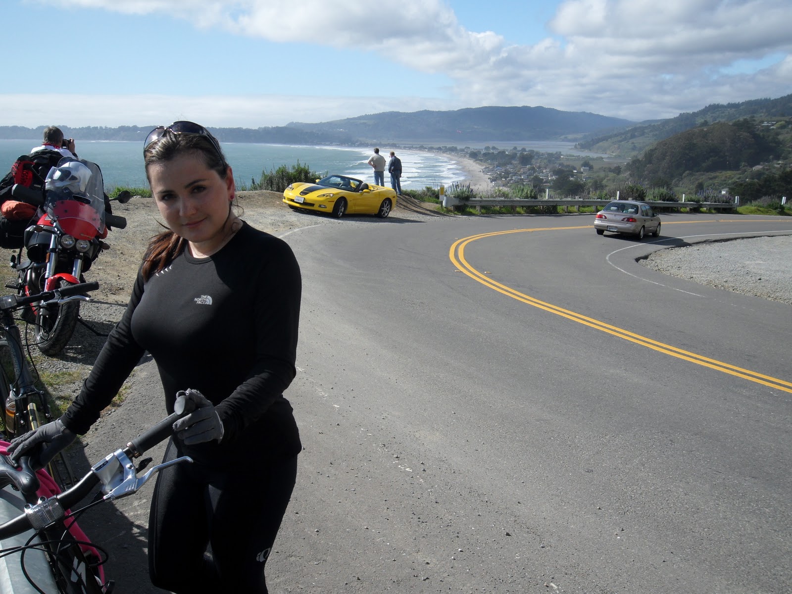
Miko with Vita (our first journey to Stinson Beach was on the hybrids!), a Hertz Corvette and Stinson Beach below
Don’t pause for too long, there’s still a lot of climbing to go.

Along the climb, there are many places to stop, take a break or take pictures. Part of biking in this area is enjoying the natural beauty of your surroundings. Make sure to not miss the incredible views along the ride.
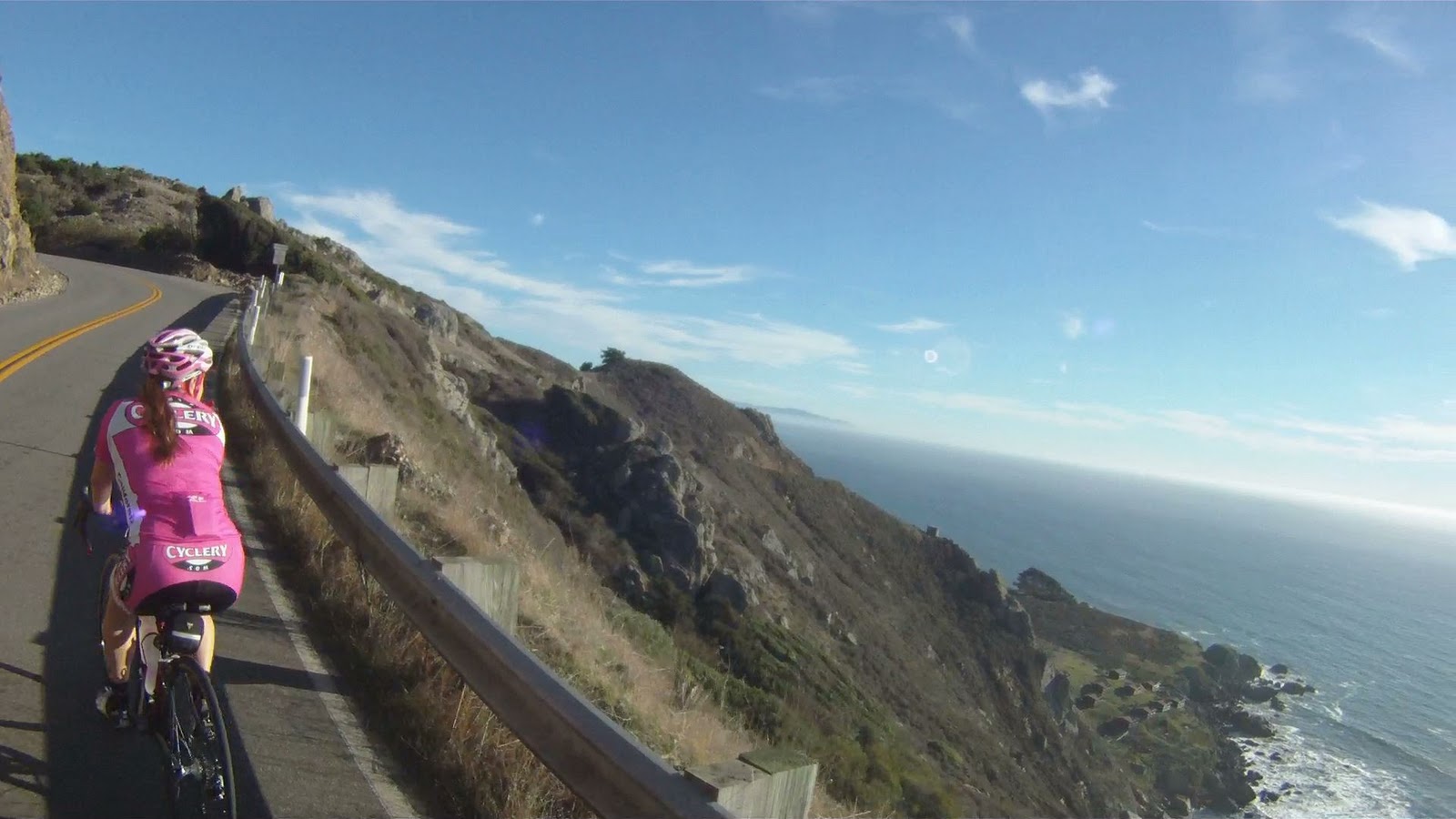
At points along the ride you can see where the coastline juts out into the ocean near Pacifica, more than 15 miles away.
Other points along the journey have the views, but also have the fun of a spectacular downhill.
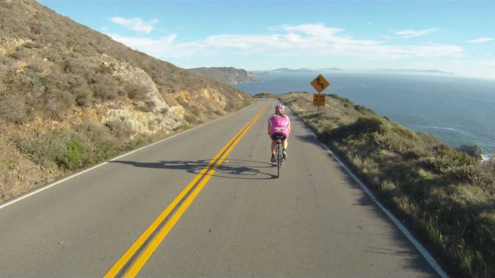
Though not as technical as the descent to Stinson Beach, these are still fast corners where you can get your tip on.
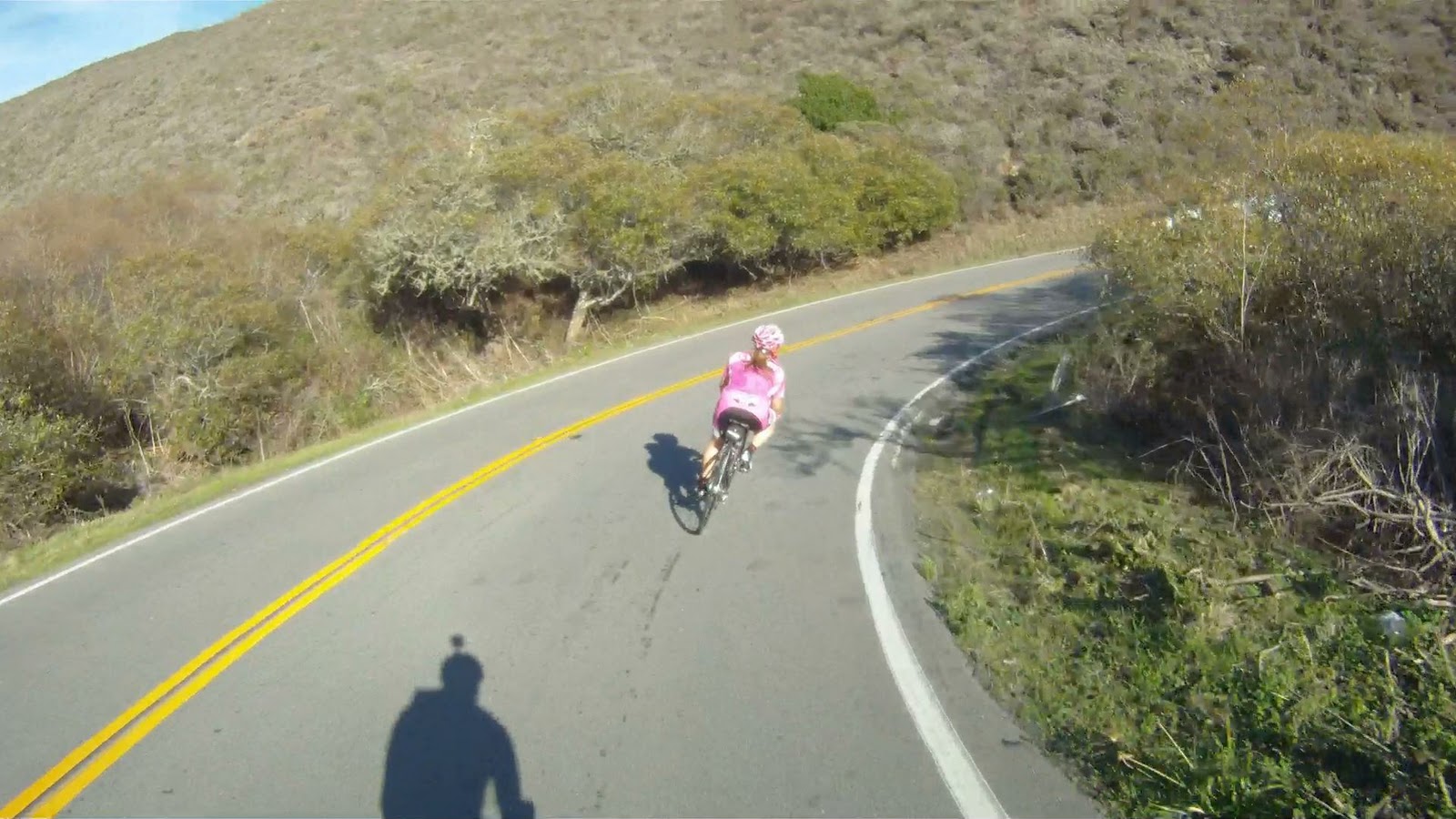
At the end of this downhill, you have one more climb and a last descent before you reach Muir Beach. The last climb has great views as well, but is a solid 6% grade the entire time with the most difficult section at the end.
On your way back down you will pass the Muir Beach Overlook.

Then it’s game on for the final descent to Muir Beach and more “wee fast fun” corners.

After a curve to the right over a small bridge CA-1 intersects Muir Woods Road. Follow CA-1 to the right towards San Francisco and to Muir Beach.

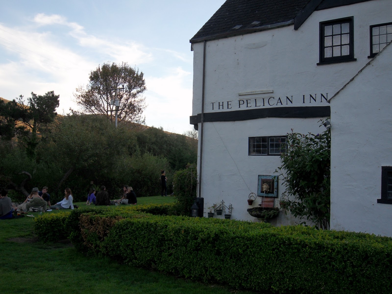
A quarter-mile or so down the road, you will arrive at the Pelican Inn. The entrance is before the sign, so look for the parking lot on your right. If you see the sign with the pelican…

You’ve just passed the entrance.

The Pelican Inn is owned by the same company as the Mountain Home Inn that was along Panoramic Highway on the climb to Mt. Tam. This is a great place to get some more food, use the facilities or just relax and take a breather before the next stage of your journey.

From the Pelican Inn you can follow CA-1 all the way back to Marin Crossroads and the Sausalito Ferry.
For now, check our video Three Amigos and enjoy the ride.

Very helpful post man, thanks for the info.
Pingback: Trail: THREE AMIGOS! — Return from Muir Beach to Sausalito Along Pacific Coast Highway | WE LIKE TO BIKE
Hello there, just became aware of your blog through Google, and found that it’s truly informative. I will be grateful if you continue this in future. A lot of people will be benefited from your writing. Cheers!
Im impressed, I should say. Really hardly ever do I come across a blog thats both informative and entertaining, and let me tell you, youve hit the nail on the head. Your blog is crucial; the concern is something that not enough persons are talking intelligently about. Im definitely happy that I stumbled across this in my search for one thing relating to this issue.
Great Blog. Doing your Marin Headlands ride tomorrow. Only suggestion would include a route sheet for some of your rides. Carry on! Cheers. Ross
Hi Ross, thanks for the props, we’ll see if we can add route sheets. Would it be more helpful to just have the “turn-by-turn” or with mileage markers like the sheet on our Sharks Fin route?
Pingback: Trail: BOOM BOOM POW! — Descent into Muir Woods | WE LIKE TO BIKE