
When you hear Half Moon Bay, most people think about surfing and the monster 50 foot waves at Mavericks. Half Moon Bay has more natural beauty than just the surf, it also has the Costal Range and amazing biking. The Half Moon Bay Backroads features amazing views of the Pacific while cycling along CA-1 and winding backroads with very few cars as you wind your way back.
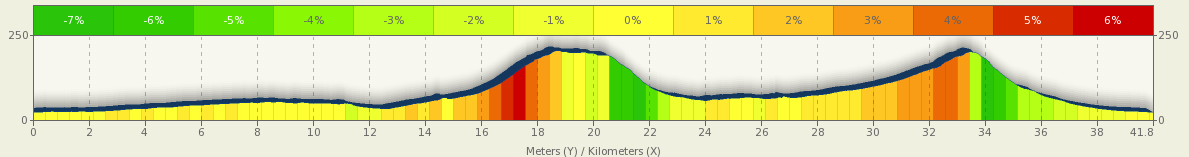
Distance: 25.94 miles round-trip
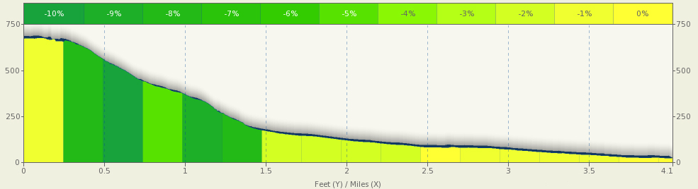
Elevation Gain: 1240 feet (378 meters)
Difficulty: The ride features a ride along the Pacific Coast Highway south of Half Moon Bay and then makes two tough climbs on your way back to Half Moon Bay. The reward for your climbing is a couple of great descents and amazing views of the Pacific.
Download your route sheet here: Directions – Half Moon Bay

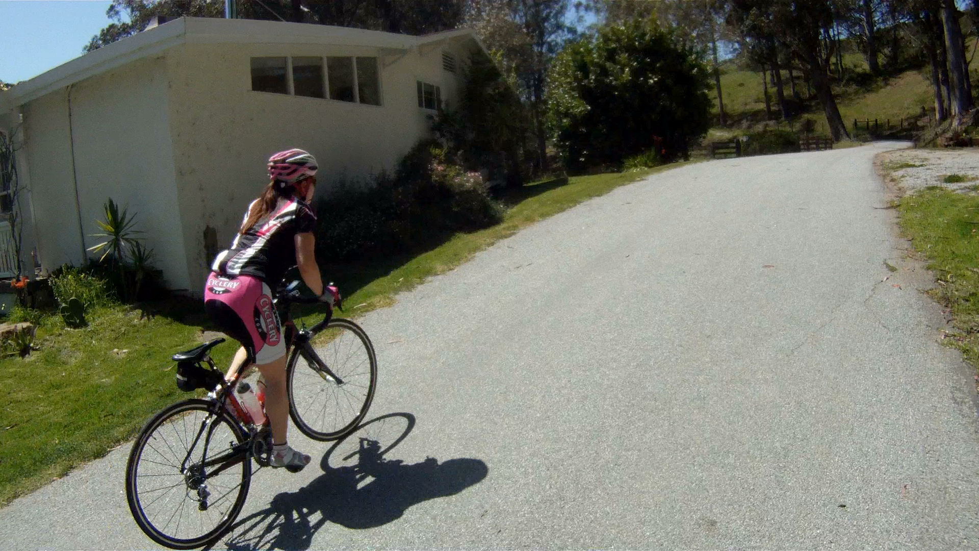
The route starts at the Mac Dutra Park in Half Moon Bay at the intersection of Main Street and Kelly Street. This is your next to last stop for a restroom, so go if you gotta.
Follow Main Street south (away from CA-92) through Half Moon Bay until you reach the end of the road across from the Fire Station and make a right toward CA-1.


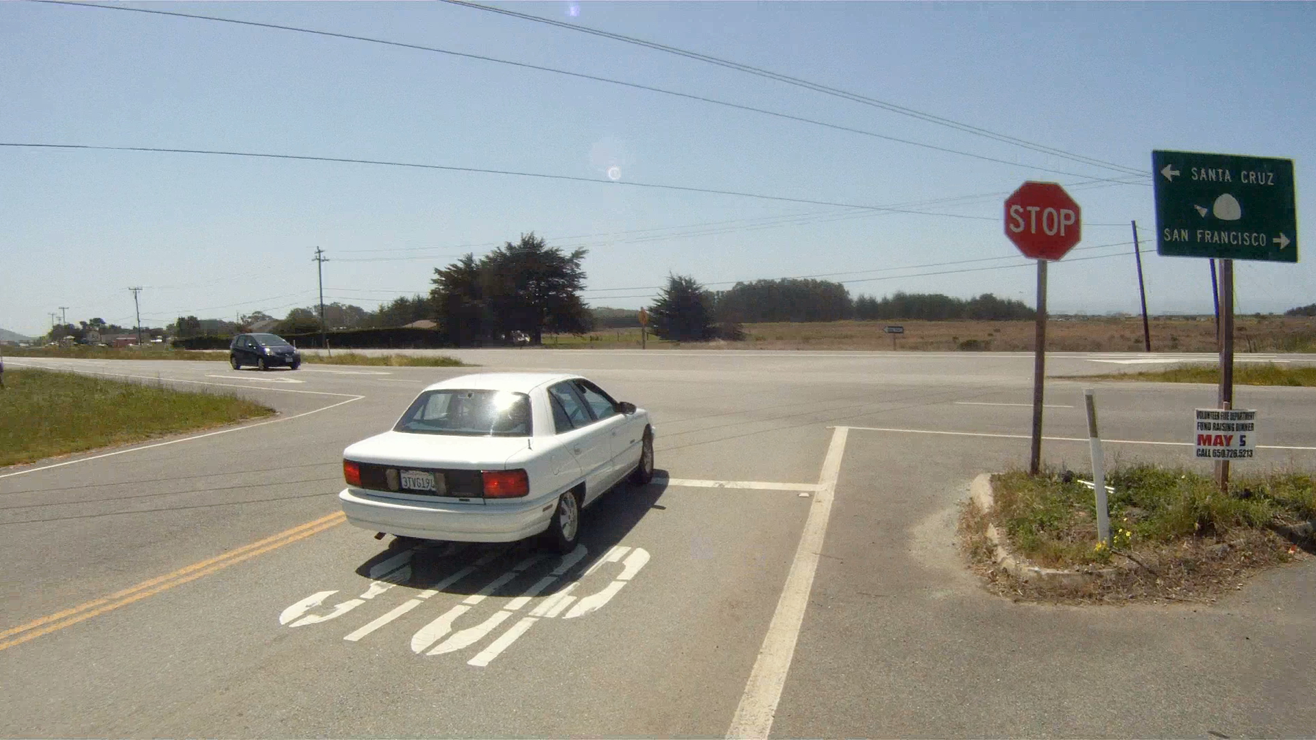
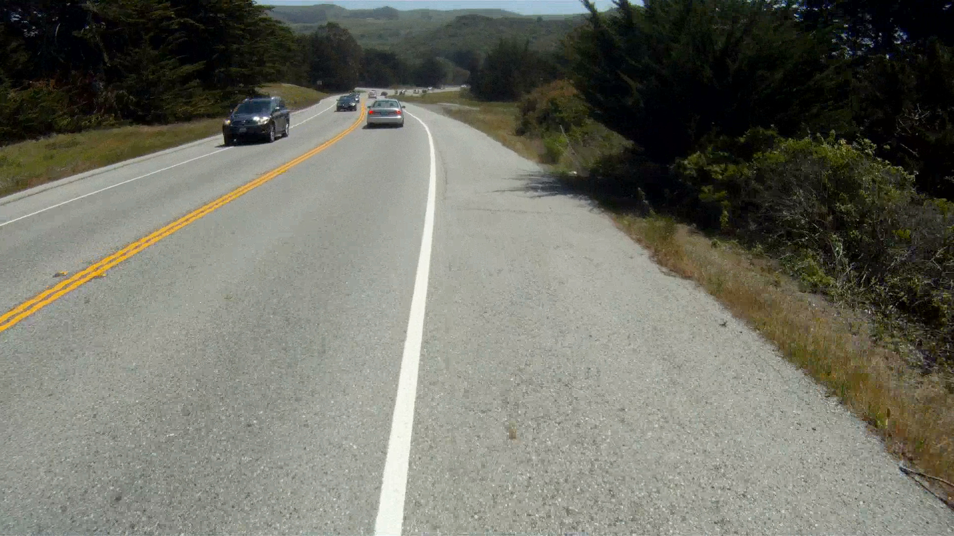
Cross CA-1 and make a left toward Santa Cruz.

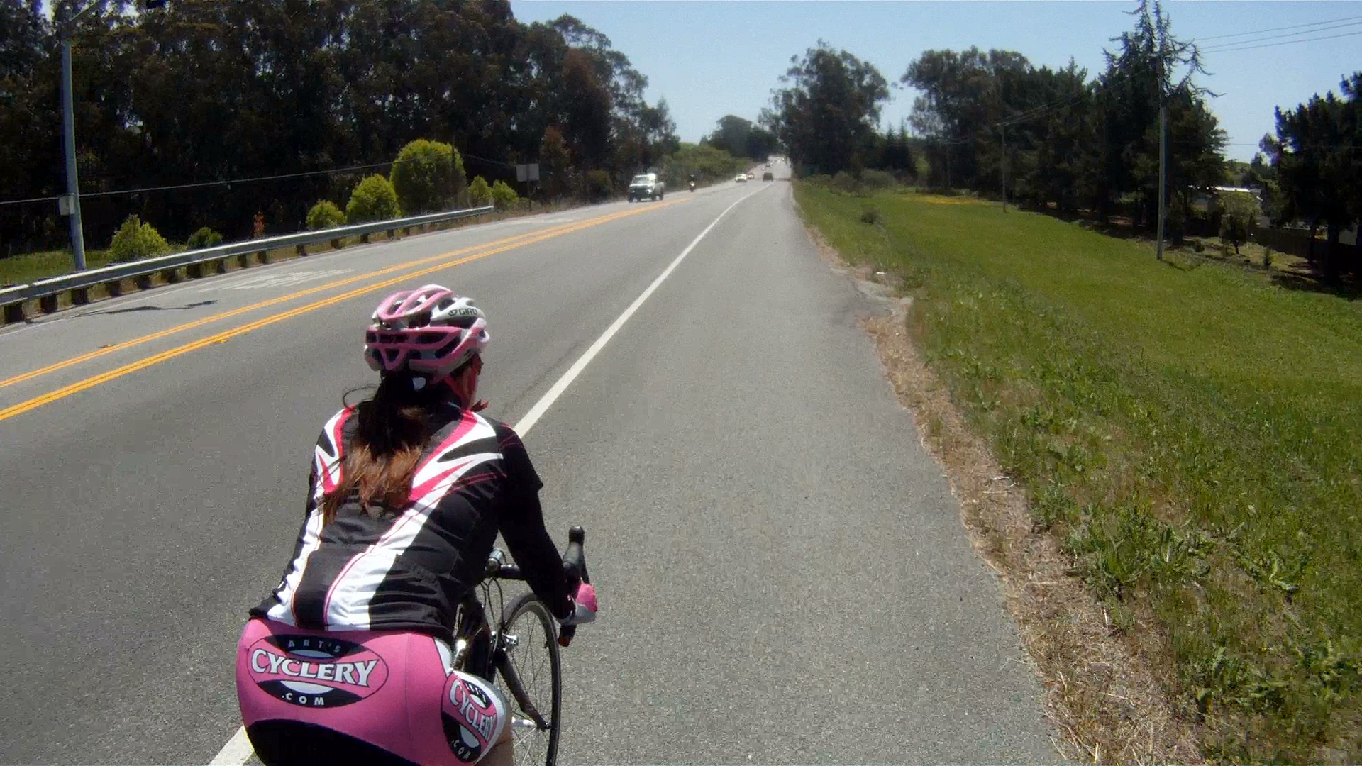
Continue to follow CA-1 south along the rolling hills.
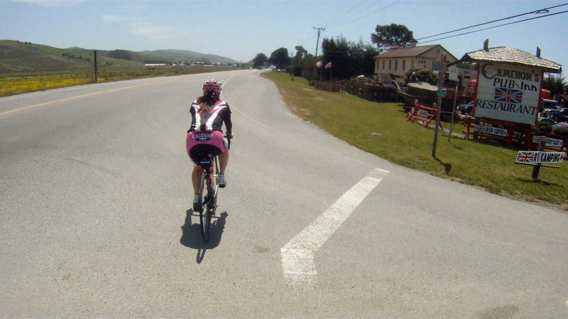
You will pass by Cameron’s Pub and Inn just south of Half Moon Bay. This is a place to grab some fish and chips and a beer.

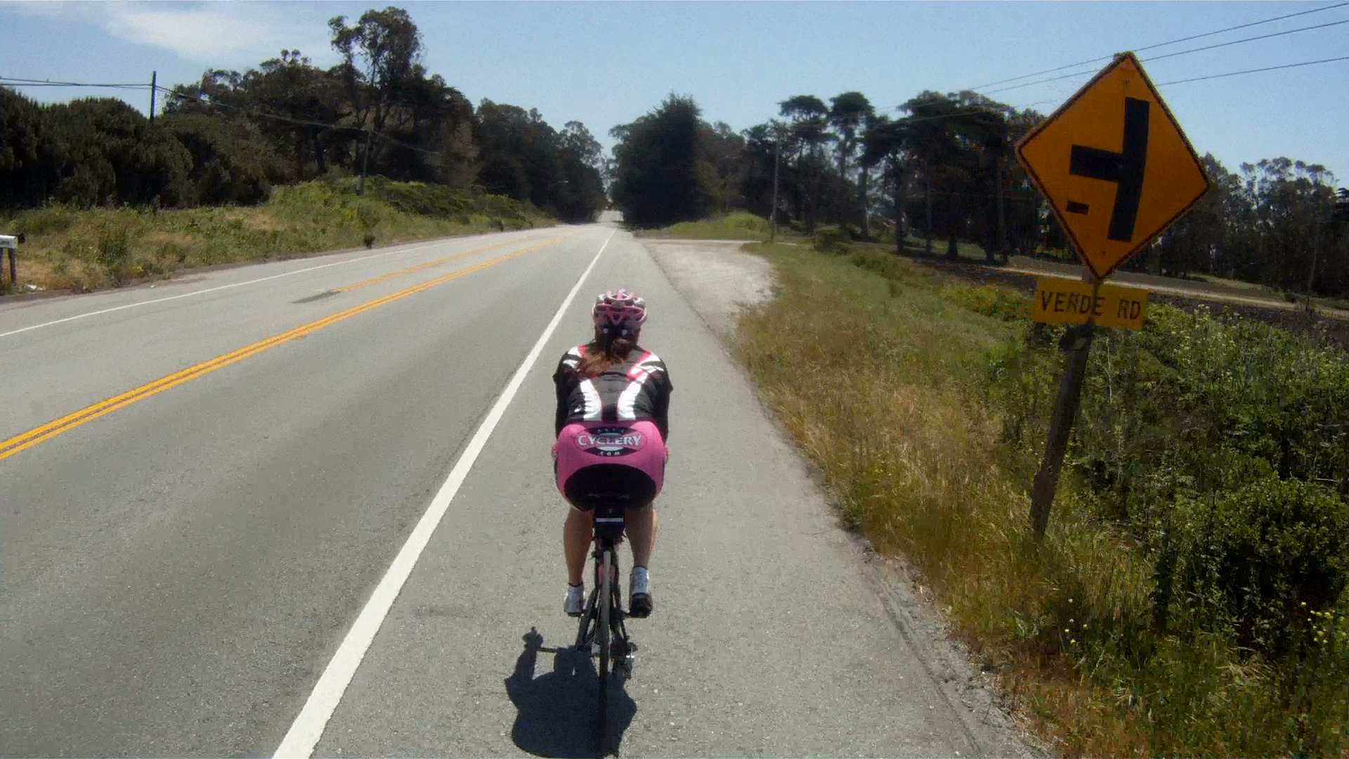
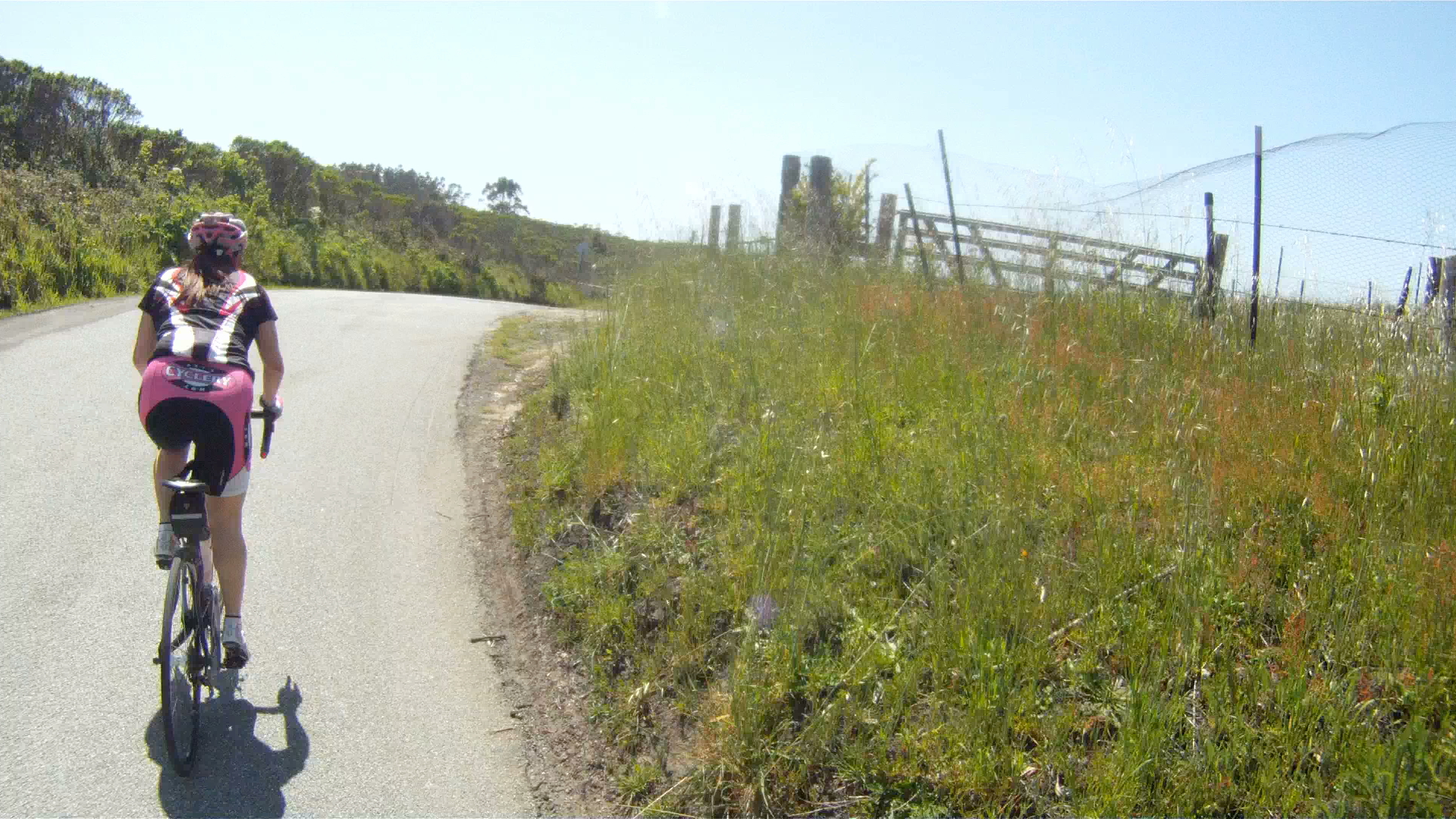
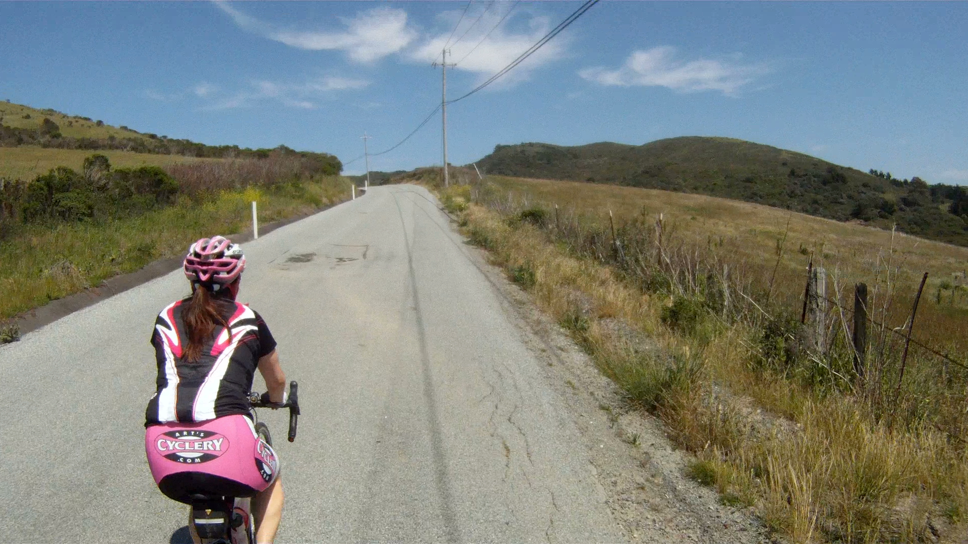
You will pass by Verde Road, which is one of the roads you will take on the way back to Half Moon Bay.

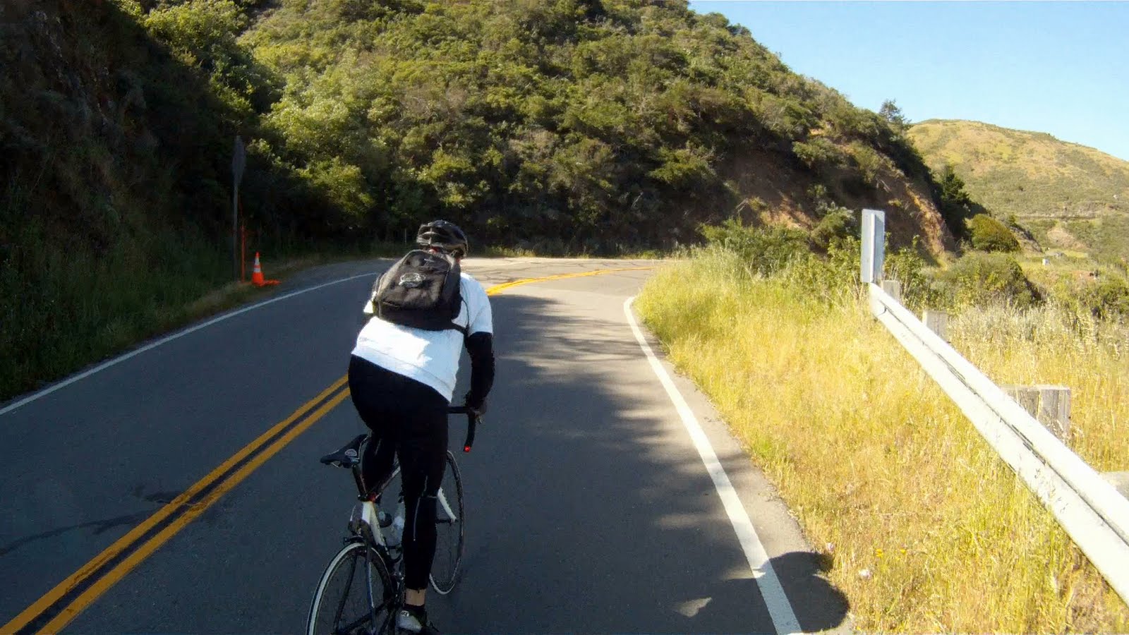
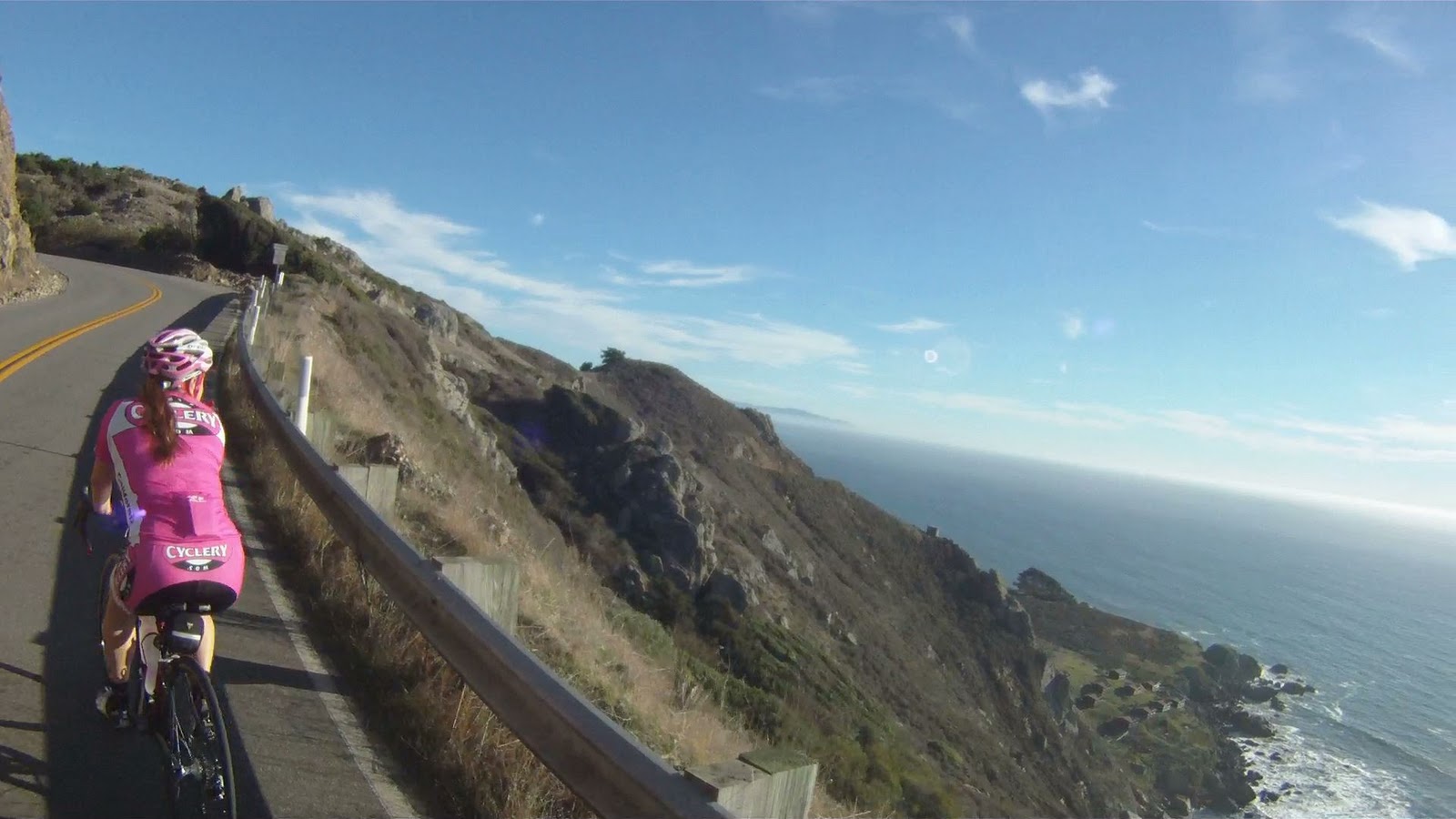
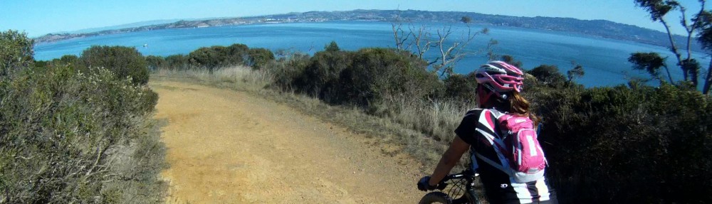
Admire the view of the sea and the mountains as you continue following CA-1.

You will see Verde Road again paralleling CA-1.


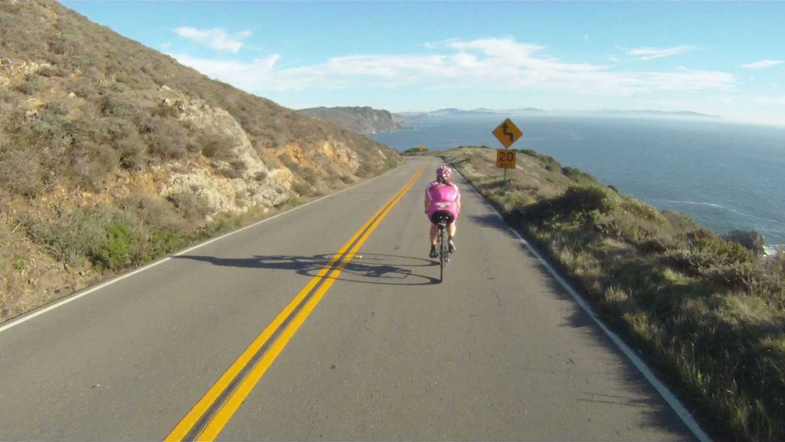
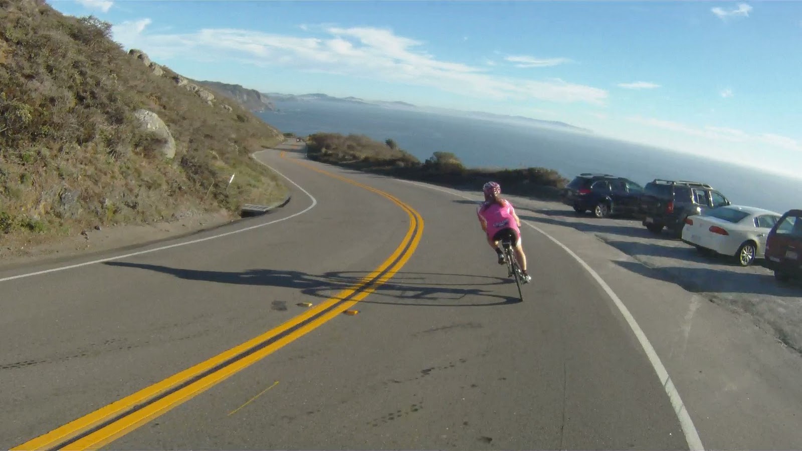
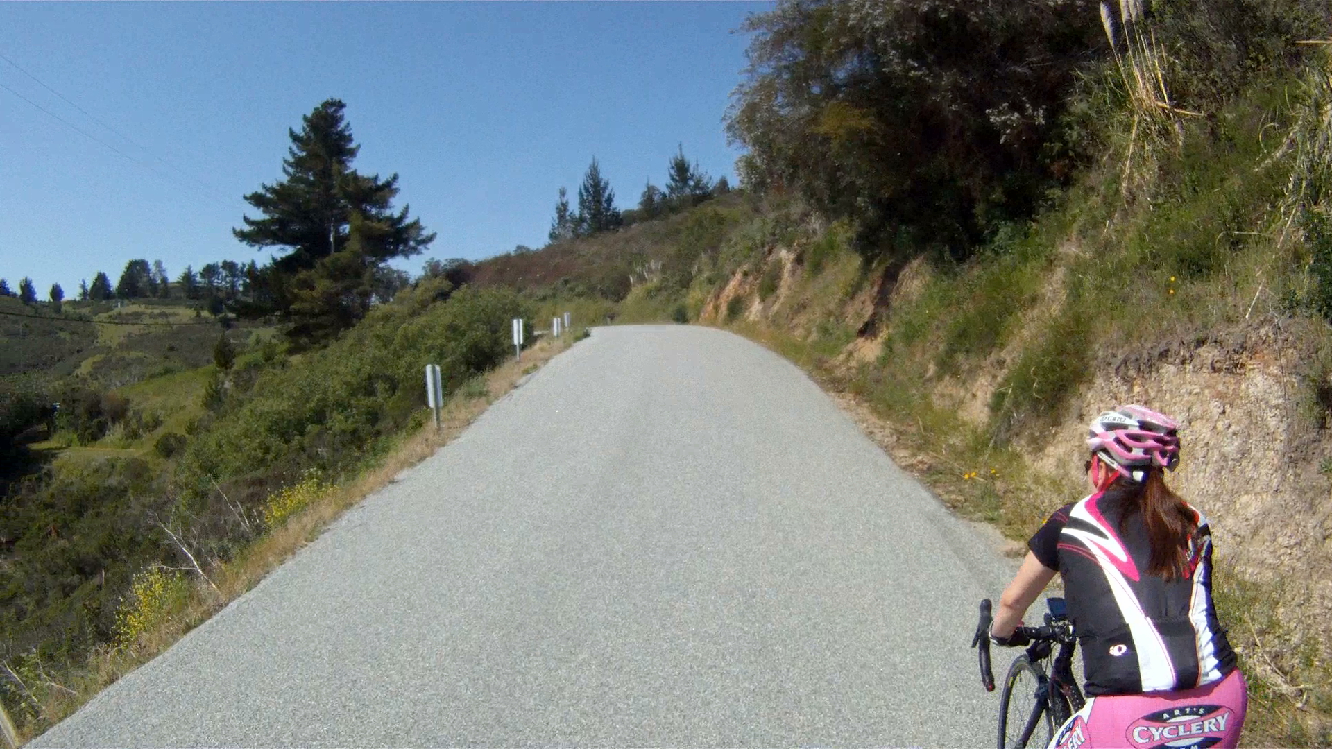
Watch for the last hill along CA-1, your left turn is at the bottom of the fast descent.
You can see your left turn onto Tunitas Creek Road at the bottom of the descent.

And here’s your turn…

Just watch for cars in front and behind you as you make your turn.


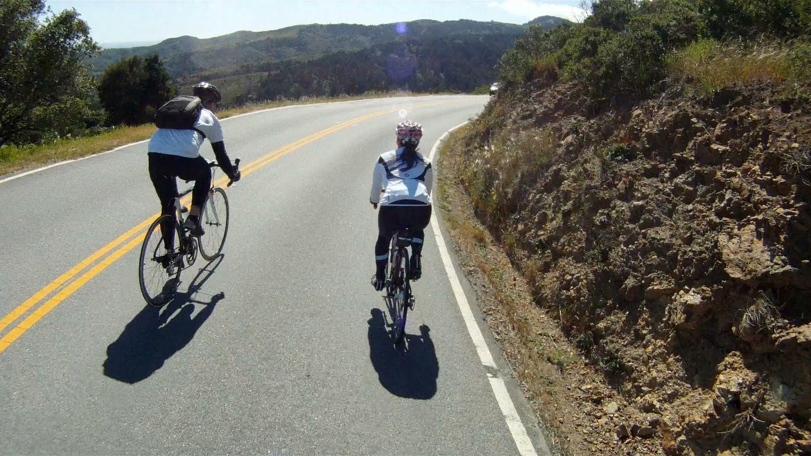
Welcome to the Half Moon Bay Backroads.


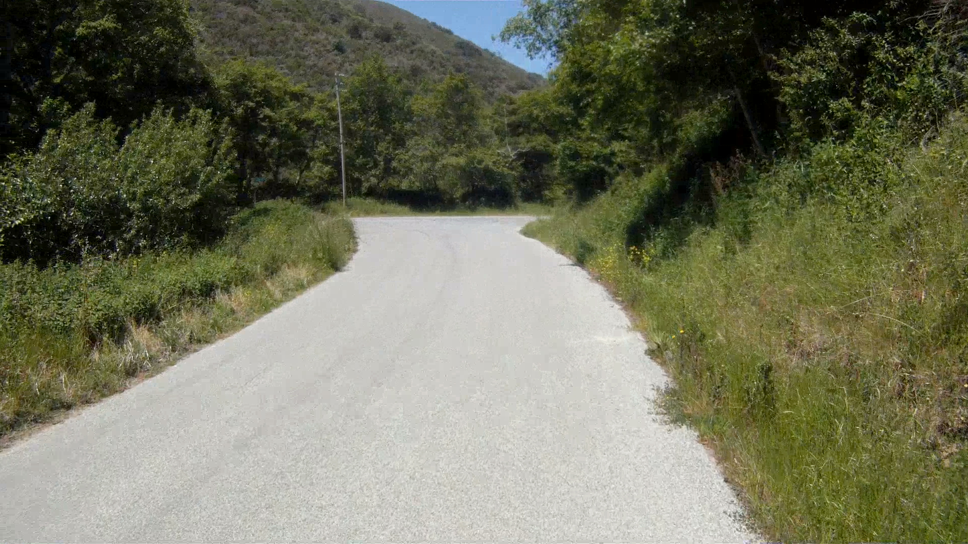
At the “T”, make a right and continue along Tunitas Creek Road.


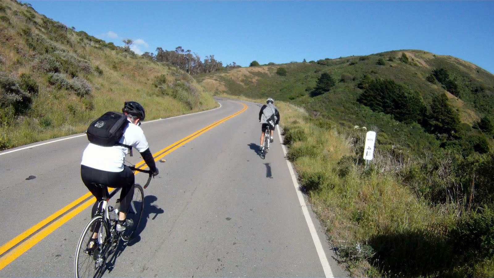
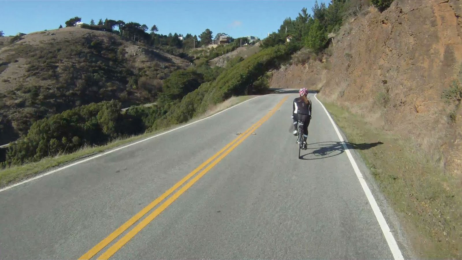
You will start to climb and enter the redwoods as your approach your next turn.

Make a left on to Lobitos Creek Road and get ready for the first big climb.


Continue climbing for another half mile or so and then you’ll reach a flat.


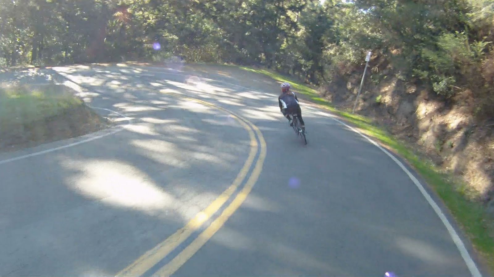
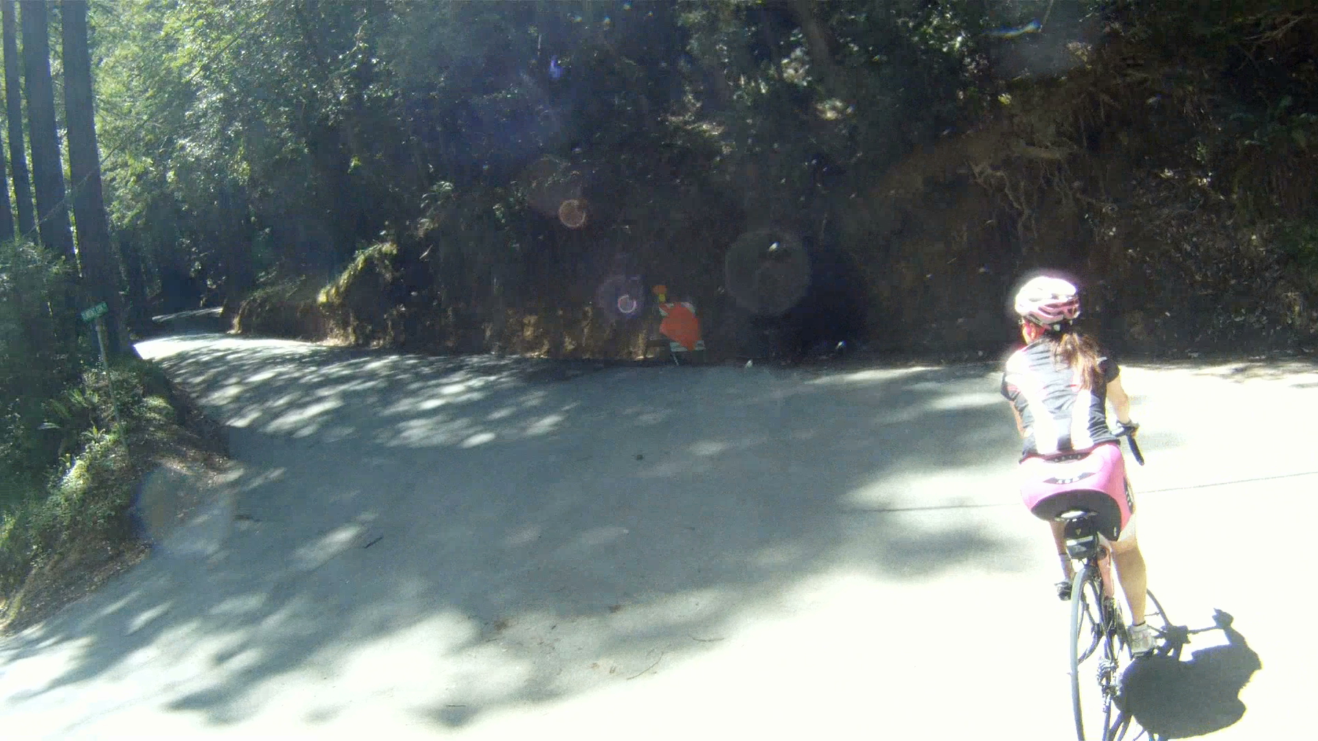
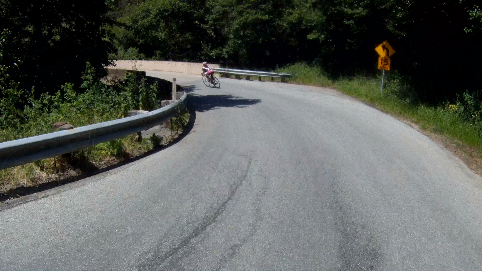
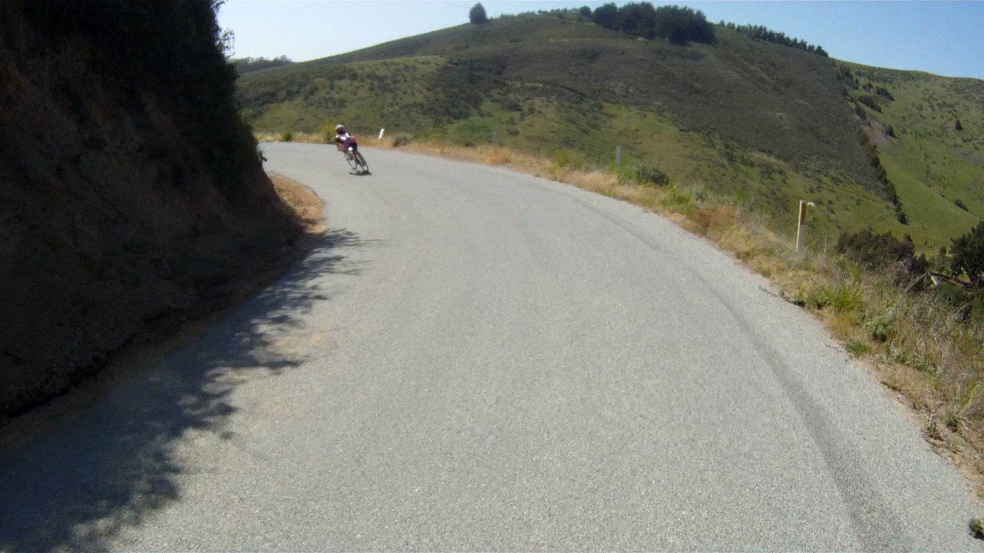
Over the next ridge is a pond and a quick, steep incline just before the wicked descent.

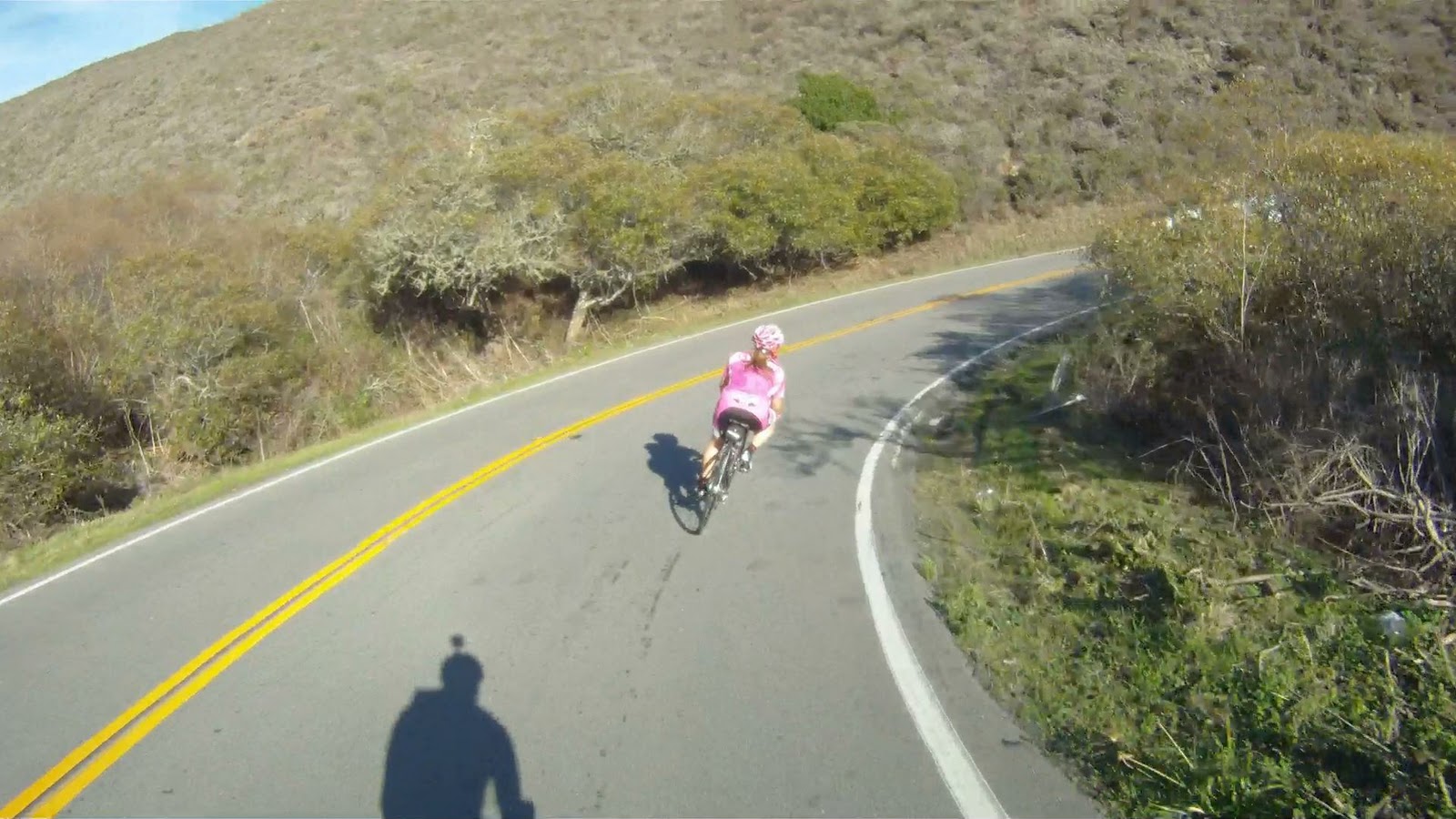
And then comes the very fast, narrow descent.


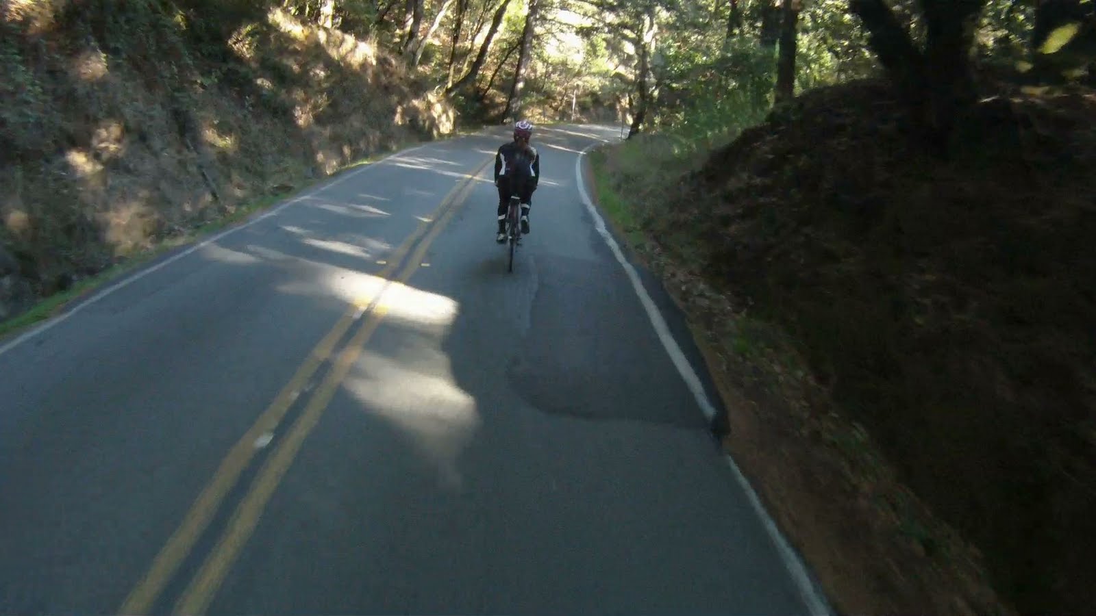
Just keep your eyes open for any cars or other bicyclists climbing in the opposite direction.


The road you take back towards Half Moon Bay is visible on the descent.

The left turn at the bottom of the run is very sharp, so make sure to control your speed into the corner.
The ride starts a slight climb again as the road makes its way toward Verde Road. You’ll see the descent you just conquered on your left.


As you pick up speed, watch for cars as you merge with Verde Road.

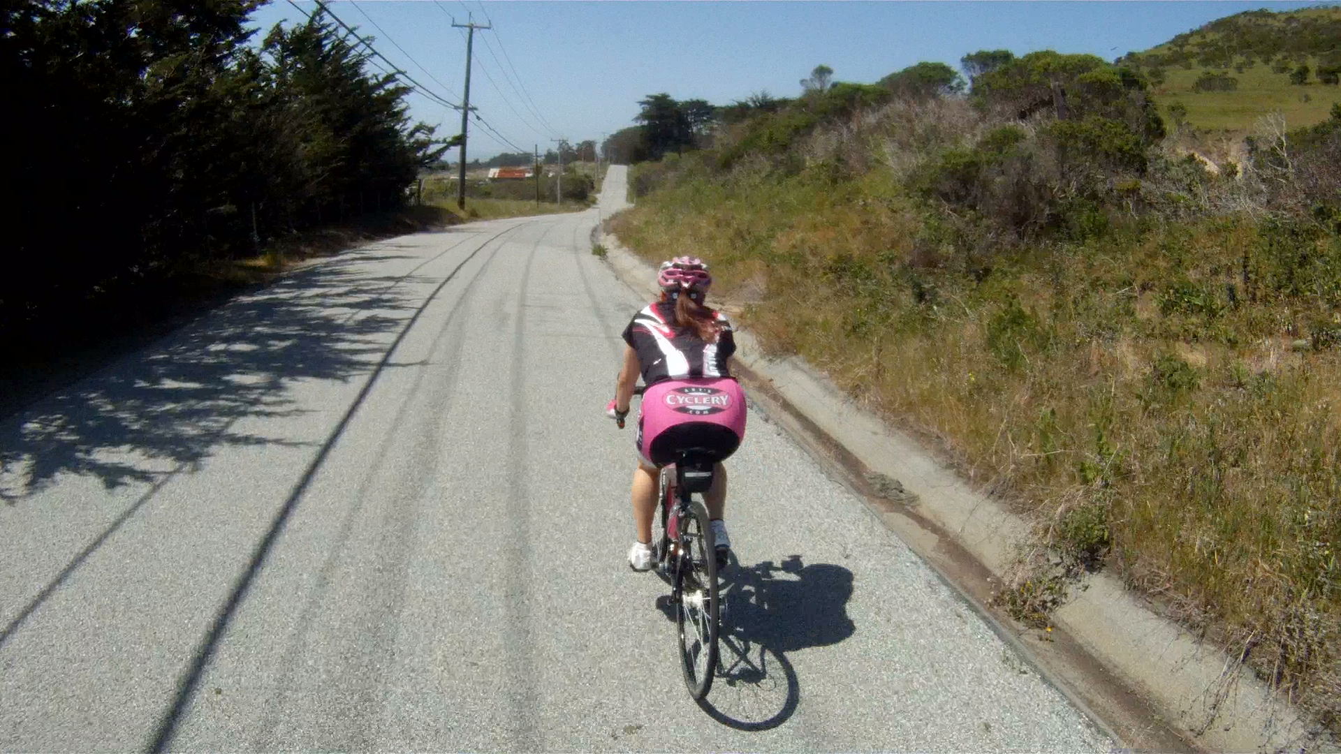
Just a short distance down Verde Road you’ll start to parallel CA-1 on your left just after the stop sign.

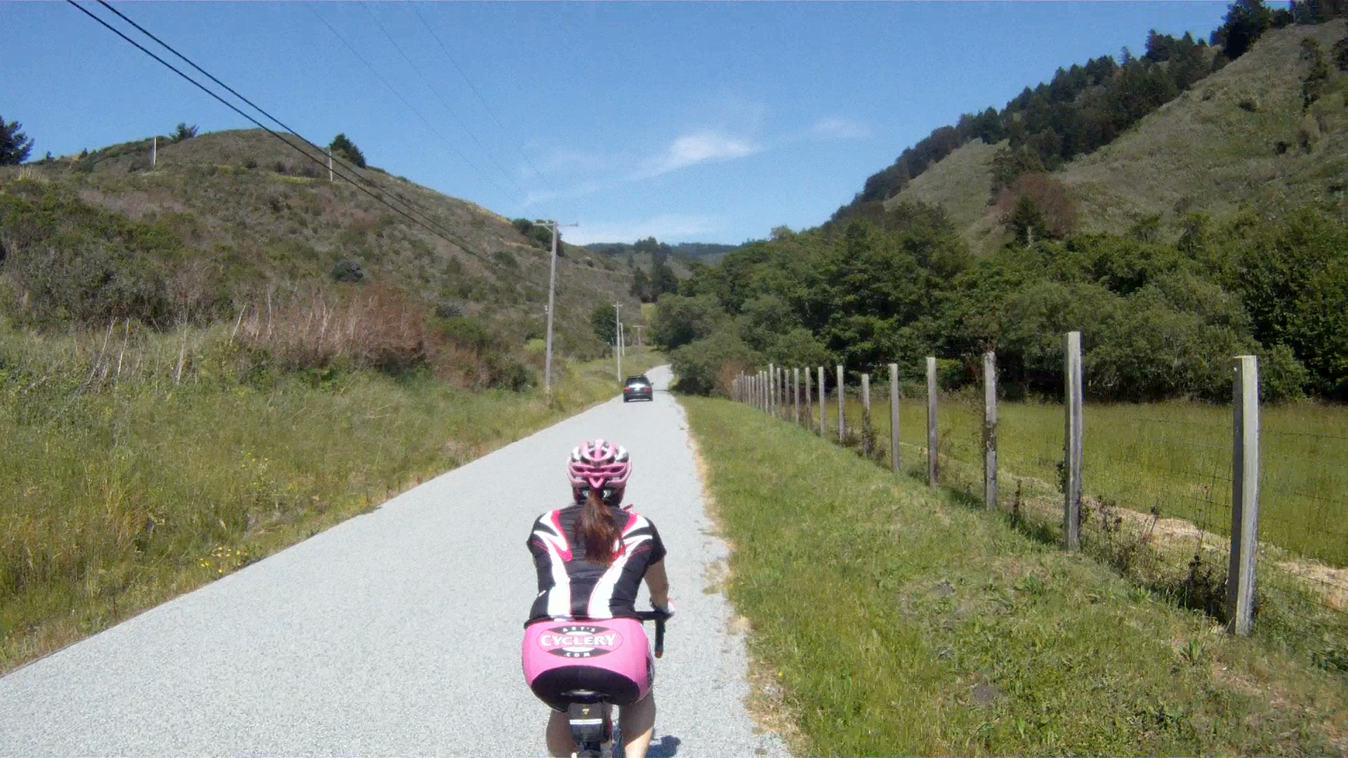
Continue along Verde Road as it rises and falls until you get to Purisima Creek Road at the next stop sign.

Make a right onto Purisima Creek Road and head east.
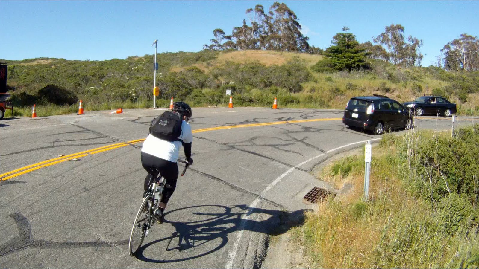
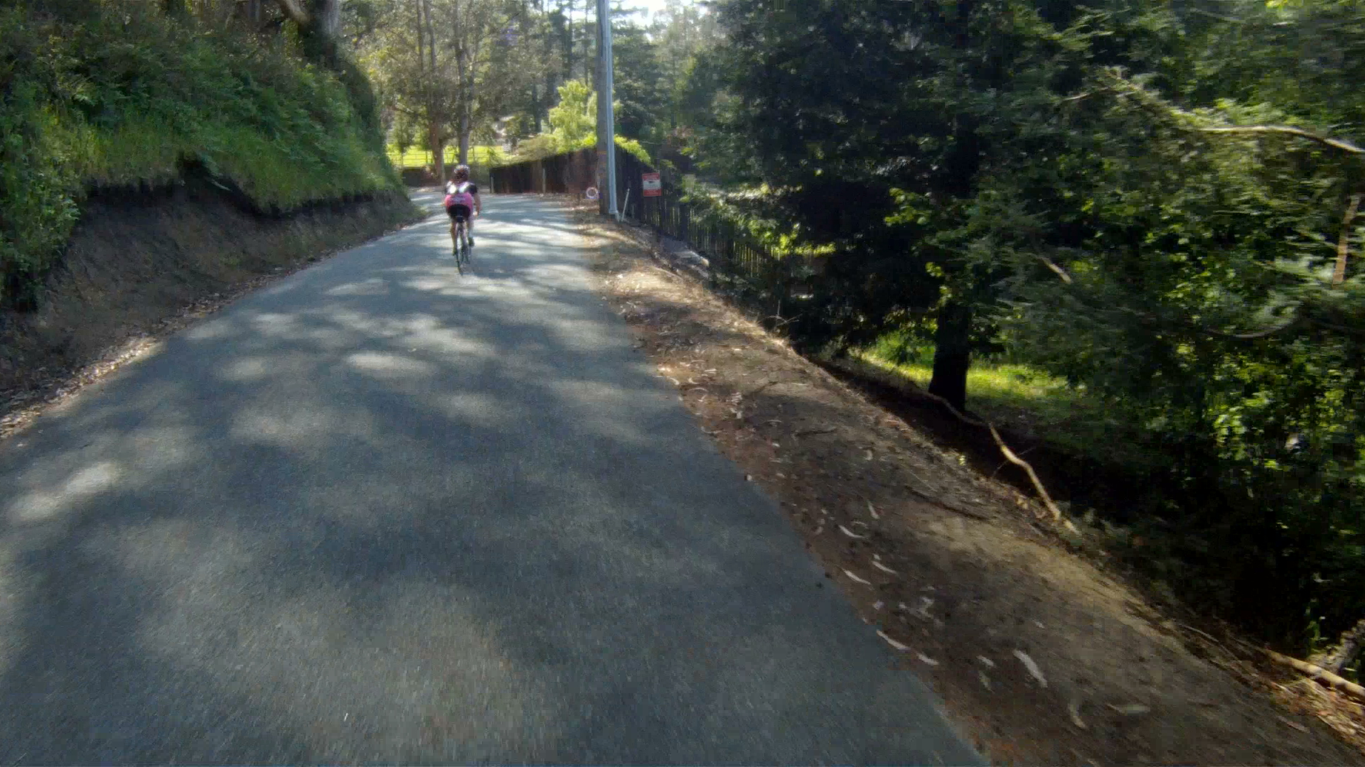
Continue along Purisima Creek Road through the valley until the road ends at Purisima Creek Open Reserve.

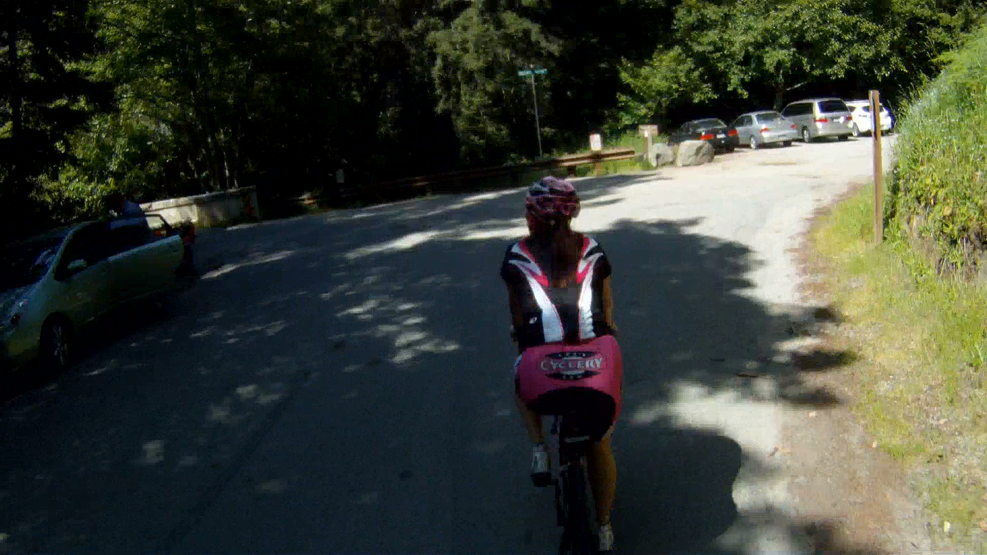
At the Open Reserve parking lot, make a left onto Higgins Canyon Road over the bridge and start climbing.

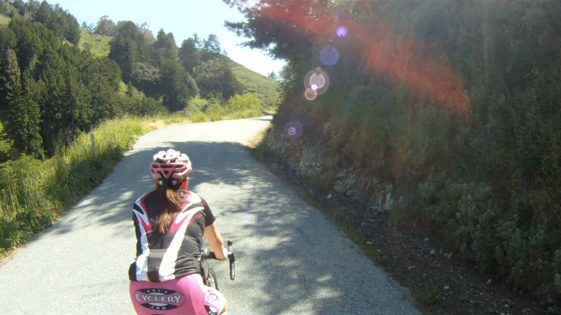
Look to your left and you will see Purisima Creek Road in the valley below.
Keep climbing and you will eventually see the ridge line in the distance.


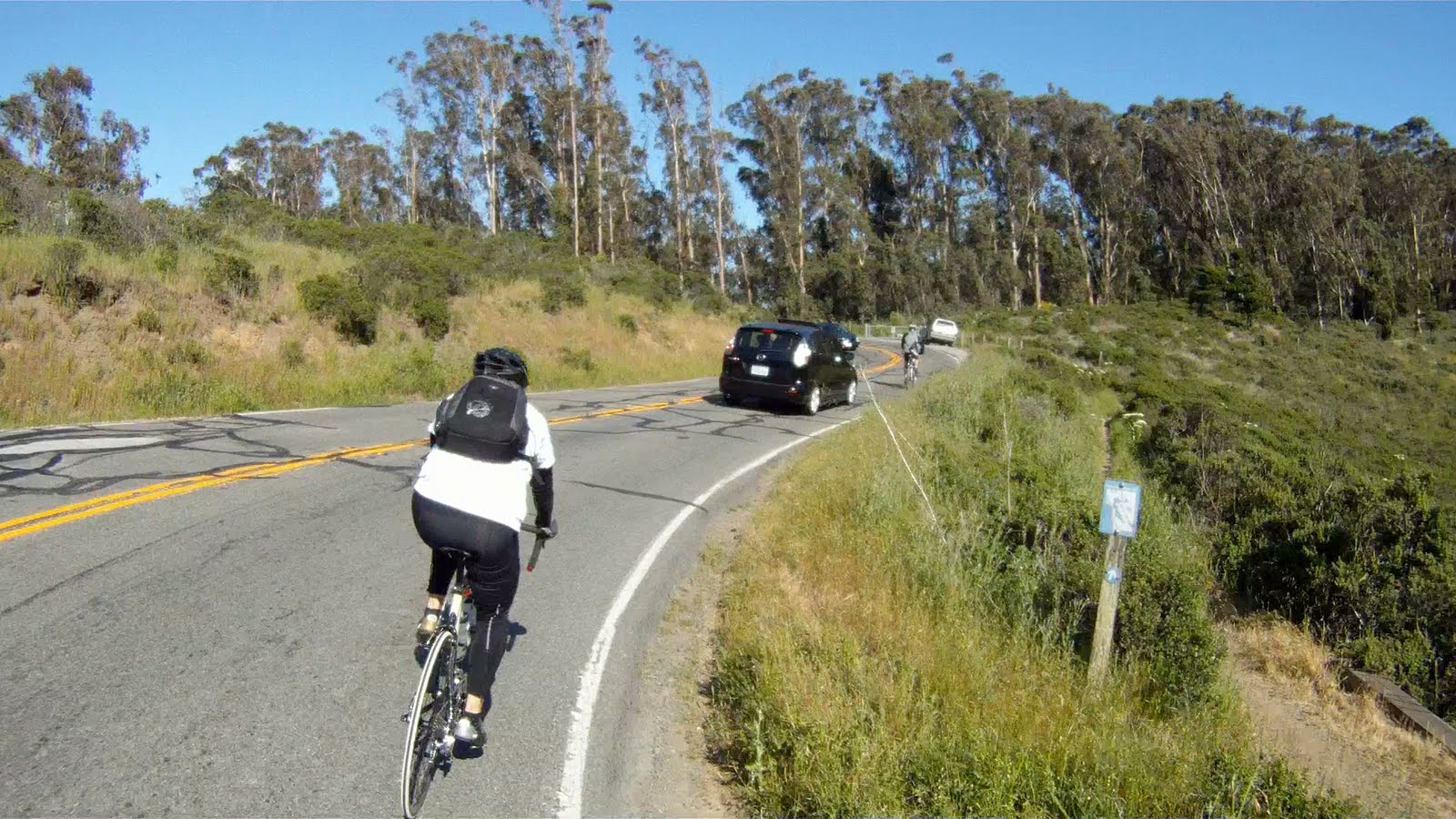
Once you reach the ridge line, get ready for a quick and windy descent!


Quick corners, narrow roads and opposing traffic make this fun, but also keep to your side of the road.

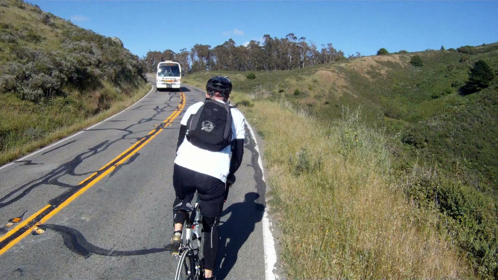
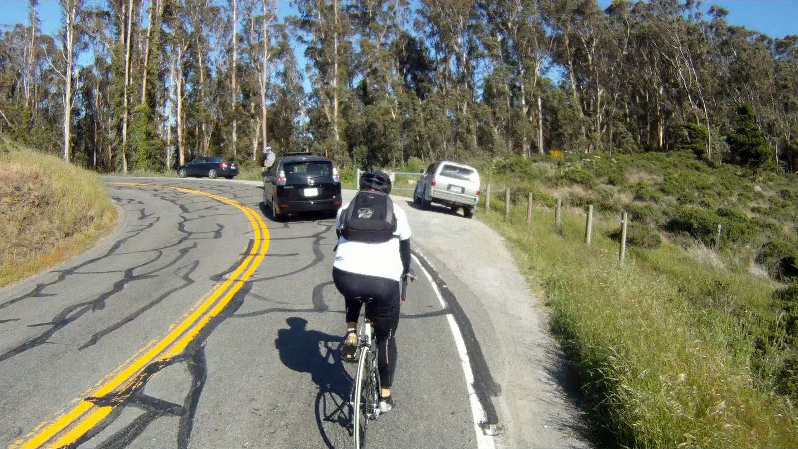
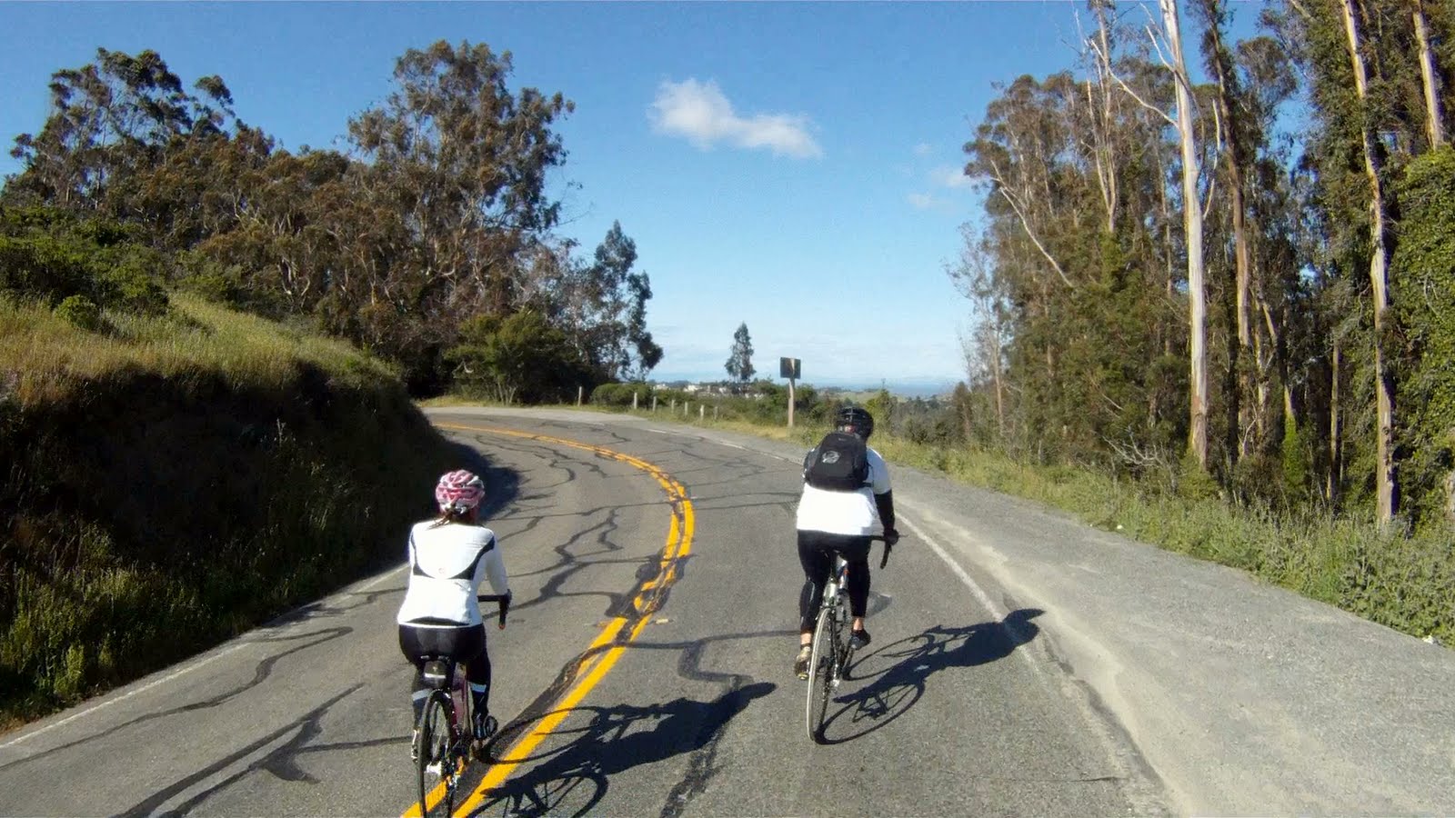
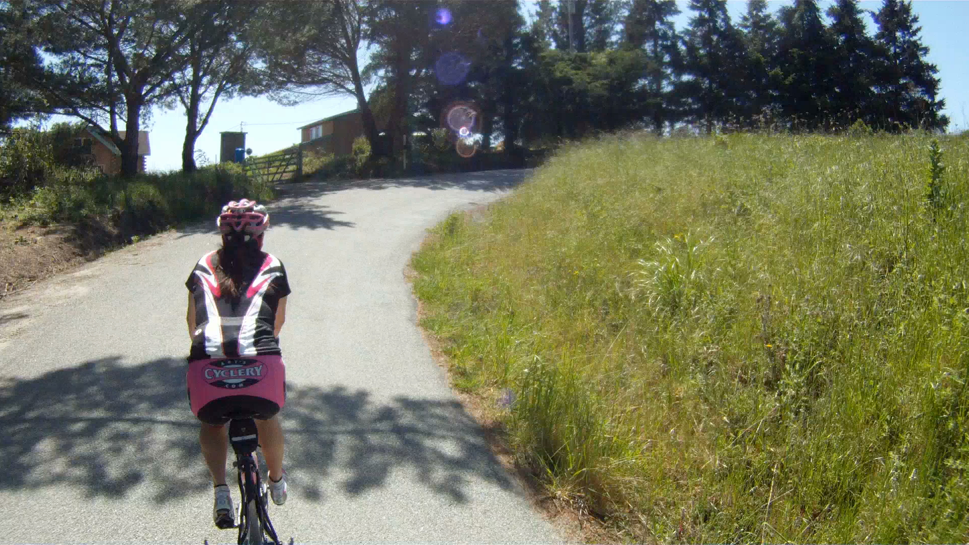
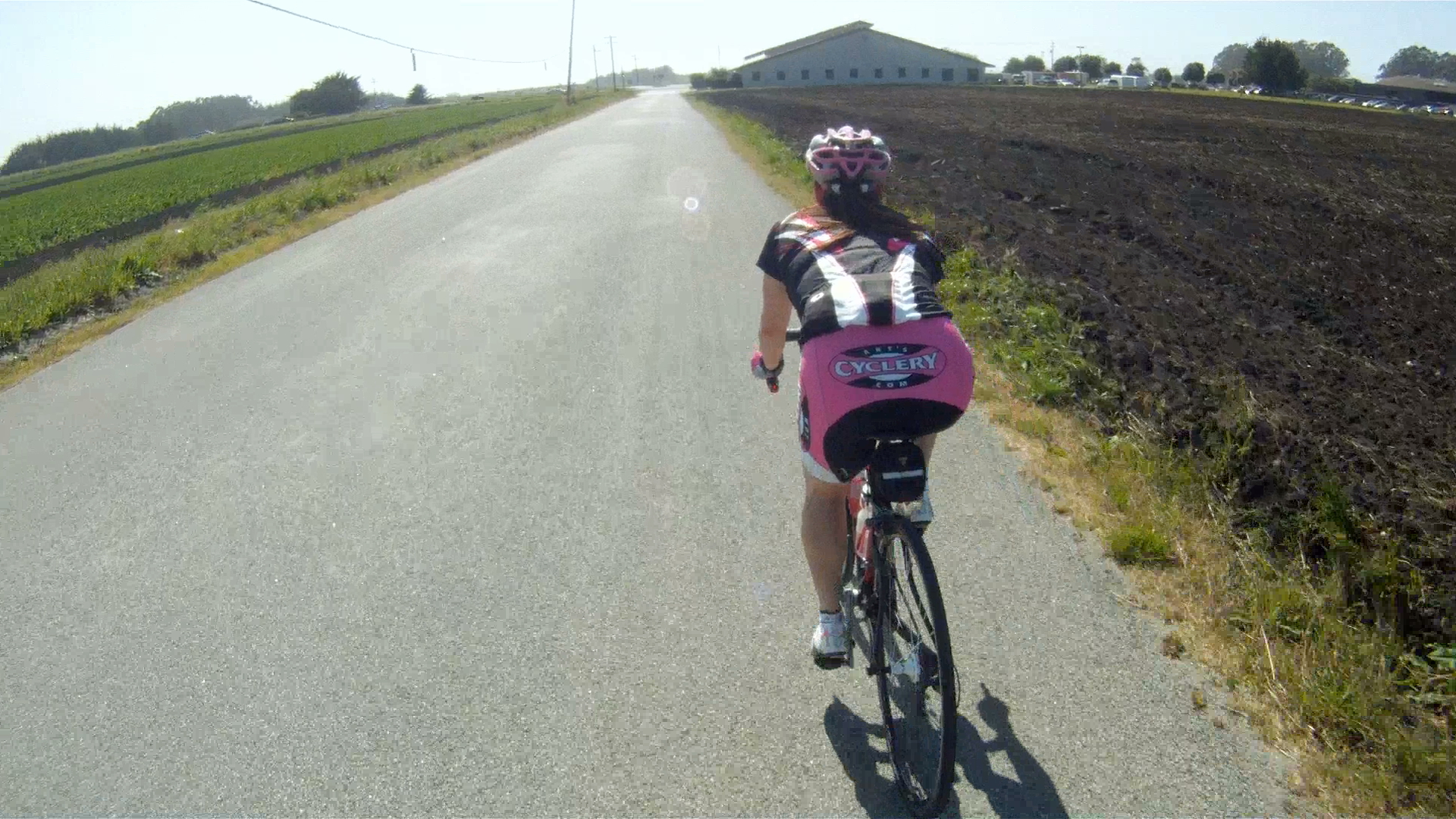
Once you reach the bottom of the descent, keep pedaling over the remaining rolling hills until you reach the flat farmlands.


Just another couple of miles along the flats and you’ll be back to Half Moon Bay.

Make a right Main Street, just past the fire station heading back into downtown.


Once you’re back in Half Moon Bay, pedal back up Main Street to complete your ride. Once you’ve packed back up, it’s time for a bite to eat. Our suggestion is to grab a crab melt sandwich on your way up CA-1 at Nick’s Restaurant on Rockaway Beach in Pacifica.
This first ride in Half Moon Bay is a great way to get acquainted with all of the different places you can explore in San Mateo County riding from the Pacific Ocean through the redwoods and beyond.