Reaching the peak of Mt. Tam is an achievement for any biker, road or mountain. The second part of the ride from West Point Inn to East Peak is relatively tame, but worth the additional time for the wonderful views and sense of accomplishment.
Length: 1.7 miles (2.7 km)
Elevation Gain: 534 ft (163 m)
Difficulty: The second part of the climb is very tame with an optional steep grade at the entrace to the parking lot at the East Peak.
At the West Point Inn you will encouter the interstection with Old Stage Road. Old Stage Road is the trail that will take you back to the ranger station at the intersection of Panoramic Highway and Pan Toll Road as seen in the road bike trail …
From the West Point Inn, continue climbing and go toward the right past the interstection with Old Stage Road.
The climbing continues for just under two miles.
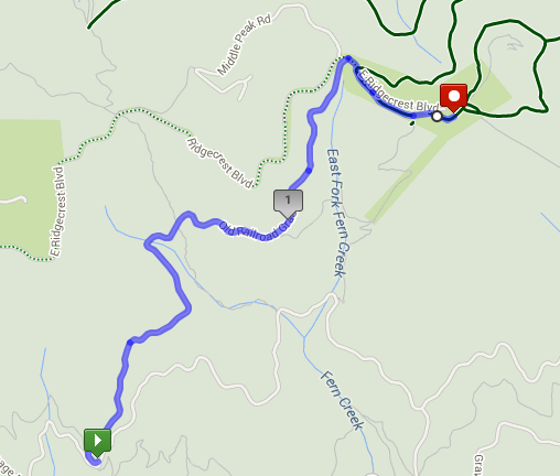
The trail ends at the “saddle” of Mt. Tam. The “saddle” is the dip between the Middle Peak and East Peak.
The top of the trail is marked by a gate.
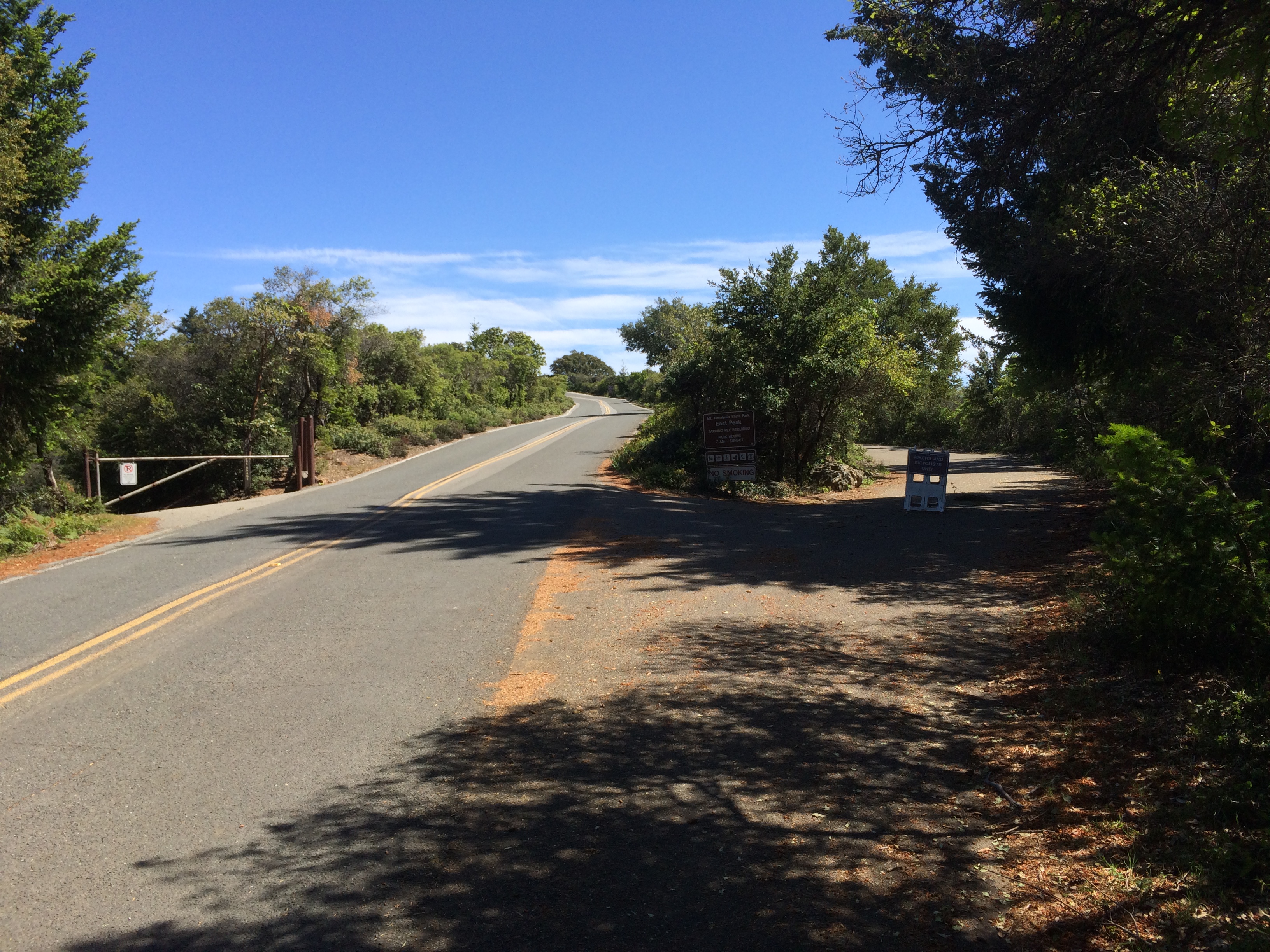
Past the gate is East Ridgecrest Drive. From the gate, make a right and onto the road. Follow the road another hundred feet and your big decision of the day presents itself. There is a bike and pedestrian walking path on your right and the road to the parking lot straight ahead and the entrance to Eldridge Grade Trail to your left.
Eldridge Grade Trial will take you down the backside of Mt. Tam toward Ross and Fairfax. Following East Ridgecrest you will encounter a short, 18% climb leads directly to the parking lot and panoramic views all around. Taking the path winds you below the parking lot directly to the picnic table and bathrooms. It’s a much easier way to reach the top and just a quarter mile long.
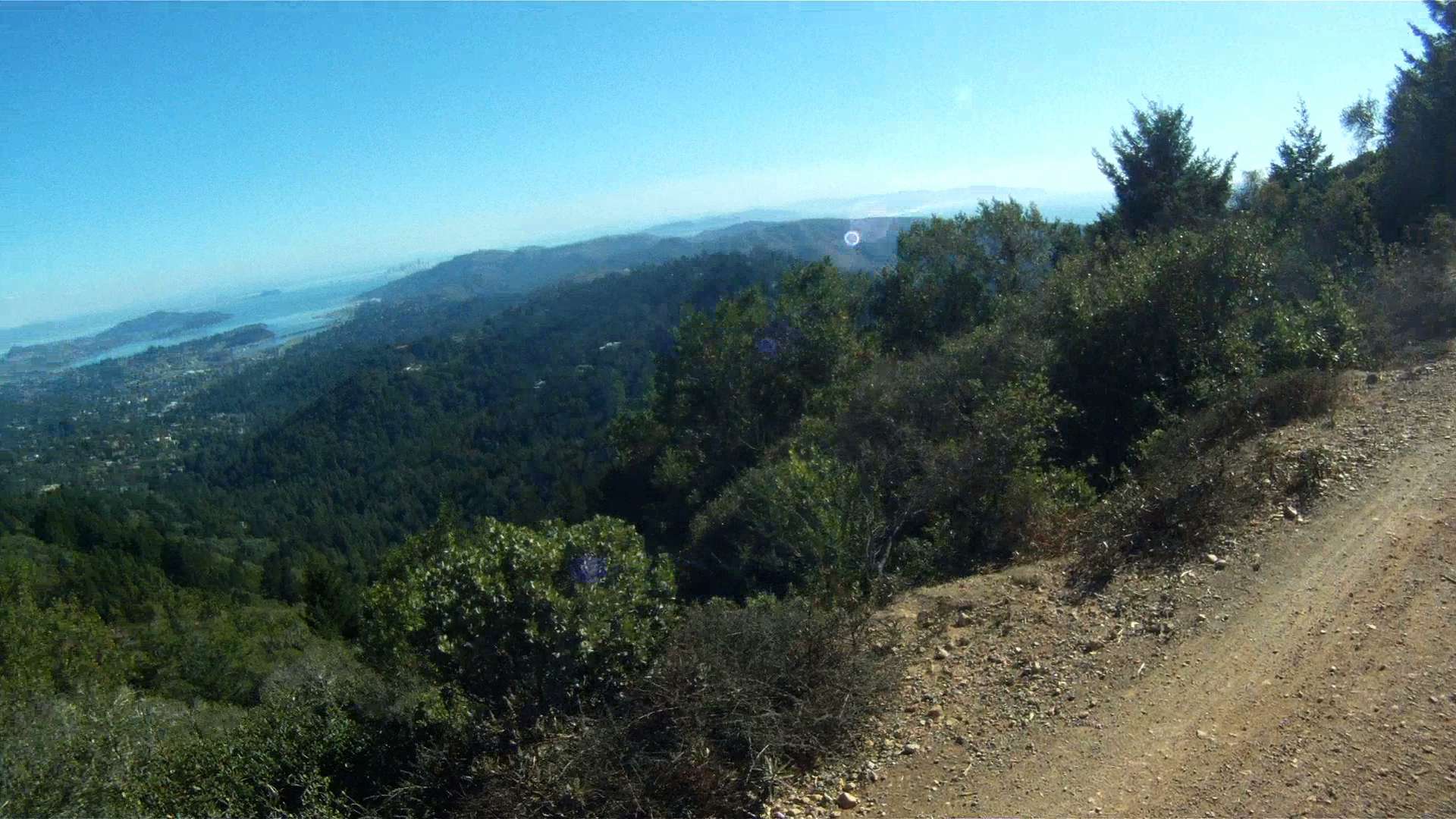
To your left, just past the picnic benches is a short path that leads you up to the parking lot, which have sweeping views of the Bay Area. At this point you’ve reached one of the pinnacle climbs in the Bay Area.
Enjoy the view and get ready for the 8.5 mile descent just ahead of you.
Mount Tamalpias (aka Mt. Tam) is the highest peak in Marin County and can be seen from all around San Francisco Bay. Making it to the top on your road bike is a feet as you conquer stage after stage of steep, leg-busting climbs.
However, on a mountain bike the climb to the top is a bit more gentle. It still includes a significant and lengthy climb, but the trail was carved by using the old railroad bed from “The Crookedest Railroad in the World” which took passengers and timber to and from the top of Mt. Tam from 1896 to 1930.
This first part of the trail takes you to the West Point Inn, a stop that has been open since 1904.
The total route is 8.25 miles long with gradients ranging from 4%-7%, and an average grade of 5%. While the significant uphill section is long and winding, the downhill is also steep and fast as the original trail was meant for a gravity train.
Length: 6.51 miles (11 km)
Elevation Gain: 1,704 feet (519 m)
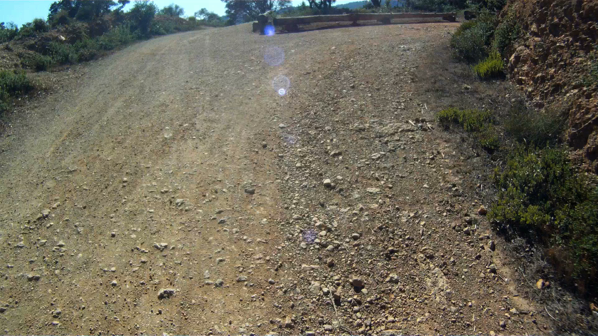
Difficulty: The major challenge to this route is the constant climbing along with some rocky ground. While the pitch doesn’t go above 7%, breaks may be necessary just to keep you moving. This trail is not for beginners, but it can be conquered by mountain bikers with some pretty minimal experience.
Route
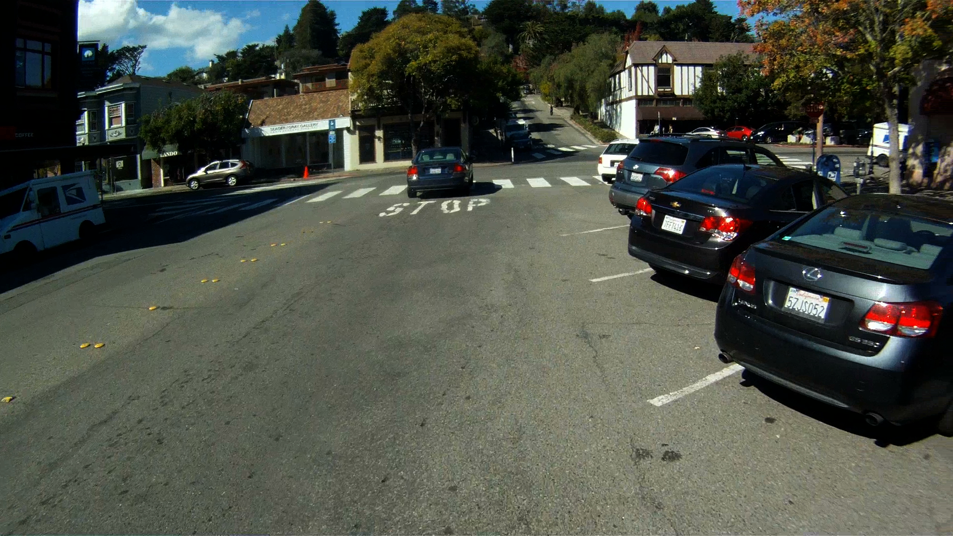
This route starts in downtown Mill Valley at the intersection of Throckmorton and Miller Avenue.
You’ll recognize this intersection from our route, Somewhere Over the Rainbow. This time, make a right on to Throckmorton and then another right onto Corte Madera Avenue.
Next, make a left on to West Blithedale Ave.
Follow West Blithedale for the next mile to Old Railroad Grade.
Make sure to make a left to follow West Blithedale at the intersection with Woodline Road.
Continue along West Blithedale for another half mile.
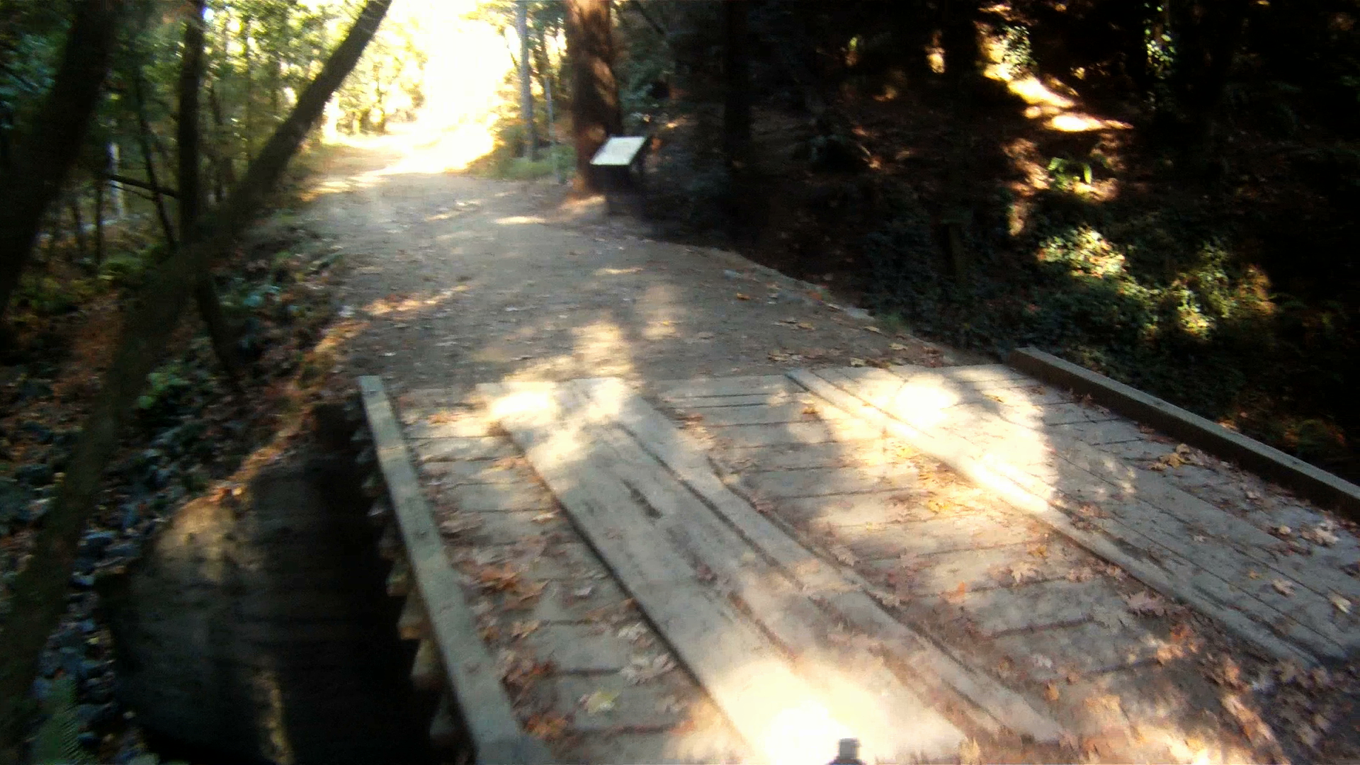
You’ll see the path entrance on your right through a gate.
Cross over the bridge just past the gate.
The climbing starts now. If you’re lucky, you’ll have the opportunity to see mountain biking pioneer and legend Gary Fisher as he swoops past you.
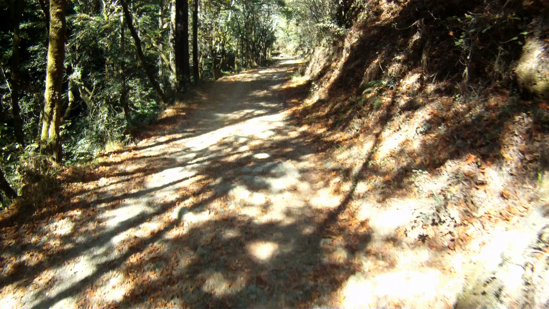
Continue climbing through the wooded fire road as it climbs higher and higher.
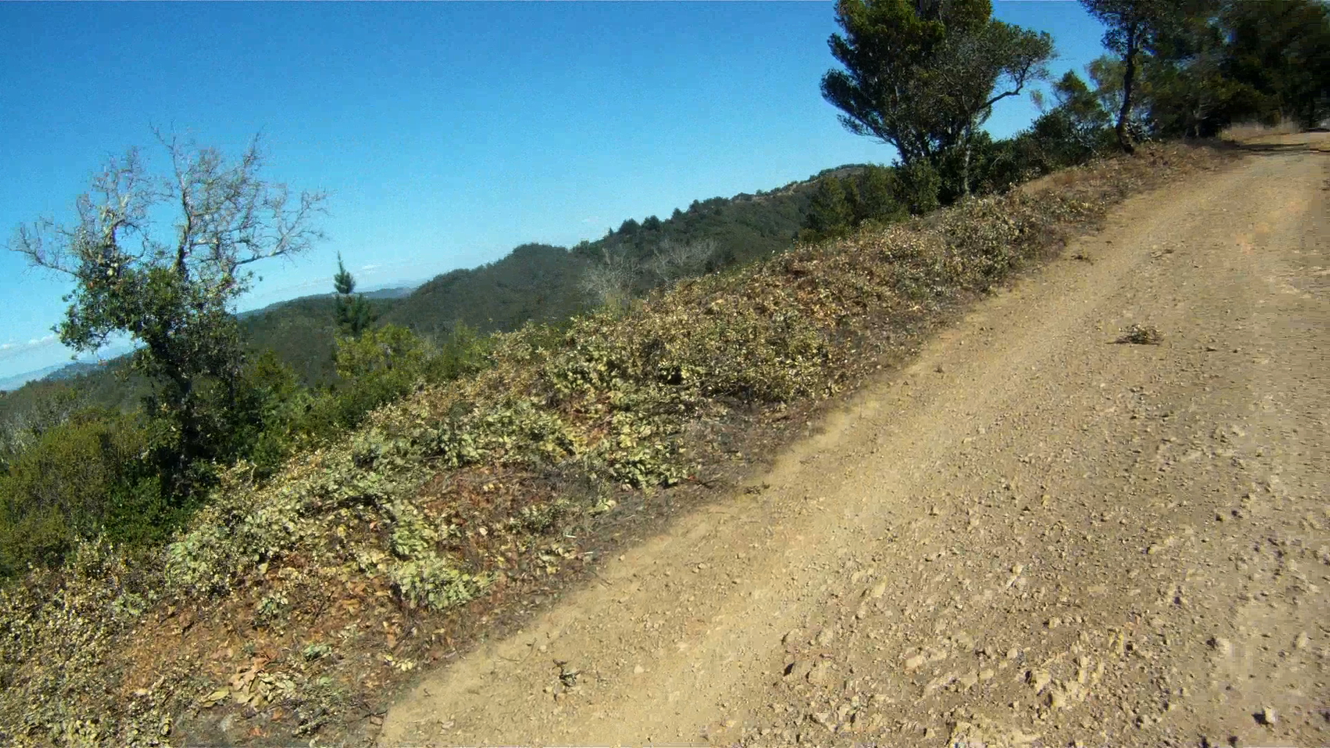
The tree cover will open as you continue climbing. Watch for the sweeping views.
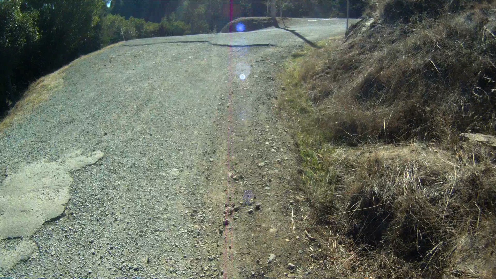
You’ll then encounter a gate with a bench and then Fern Canyon Road, which is a public road open to cars. Keep right and continue climbing.
Another mile or so along Fern Canyon Road and you’ll be back on the trail after going through the gate.
A short way down the path you will wind around a couple of 180 degree turns and pass Gravity Car Road. These are the start the next twisting climbs.
The Gravity Car Road leads back to Panoramic Highway right at the Mountain Home Inn. If you’re done climbing for the day, this is a good bail out option.
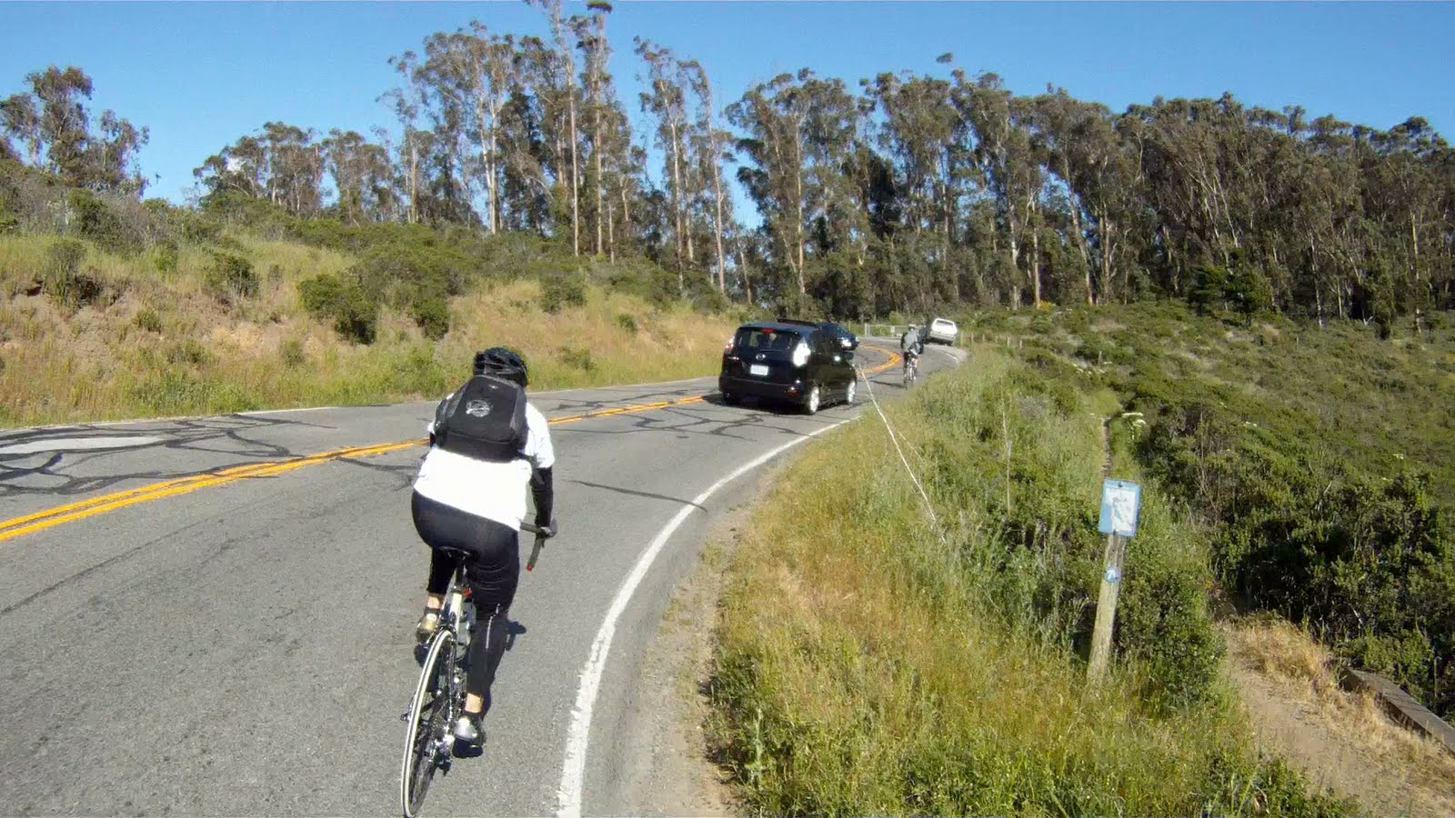
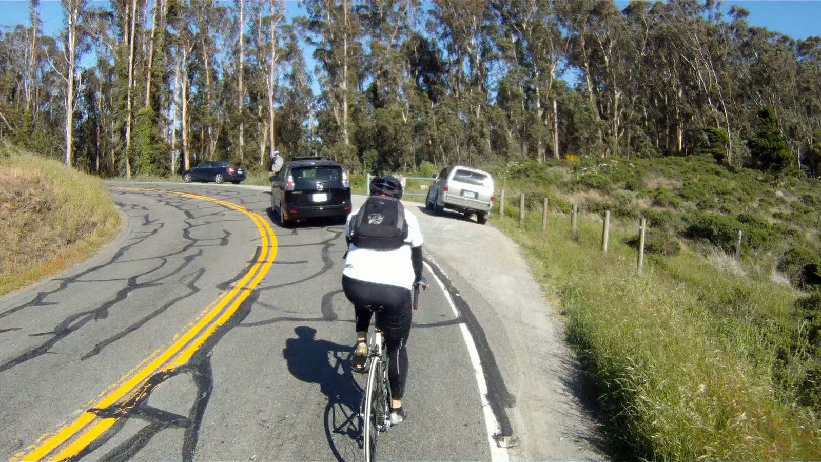
If you are ready to continue climbing, make a right where the trail intersects with the Gravity Car Road to continue climbing as Old Railroad Grade twists and winds around the mountain.
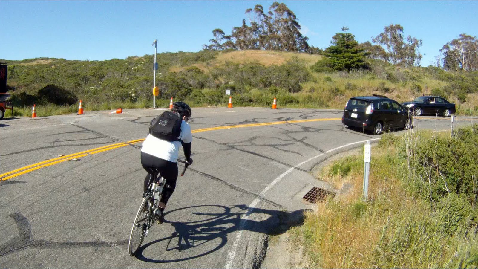
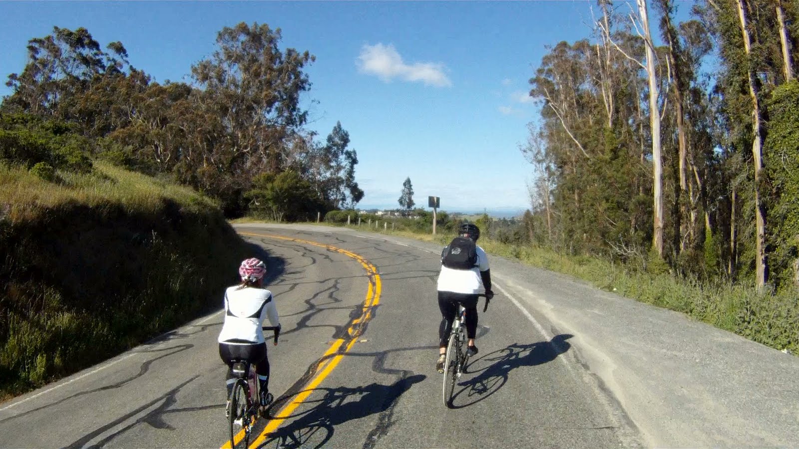
The climbing will continue for another mile or two until you reach the West Point Inn.
This is a great place to stop, use the “facilities” and take a well-deserved break.
We’ll pick up from here to take you the rest of the way to the top of Mt. Tam in the next installment. Stay tuned and have a great ride!
Descents are the reward after climbing to the top of Sequoia Valley Road or Panoramic Highway. The former takes you on a beautiful journey through Muir Woods, the latter takes you on a magnificent 4 mile descent to Stinson Beach. While Stinson Beach requires a series of climbs to make your way along the Pacific Coast Highway to Muir Beach, the second half of the route from Muir Woods is relatively flat. These two routes intersect at the Pelican Inn along CA-1. The pattern of a tough climb being rewarded by a great descent is remains unbroken in The Three Amigos. The return begins with a tough narrow climb along CA-1 with traffic nipping at your heals. If you can time the cars just right, you will experience a fantastic, high-speed return back to the Marin Crossroads. Each path that leads to this return is its own unique adventure. That adventure continues on in The Three Amigos’ journey to Sausalito.
Difficulty: A tough climb on a narrow road with no shoulder followed by a fast and fun descent that can be interrupted by “Sunday Drivers”
Elevation Gain on Route: 623 feet (190 meters)
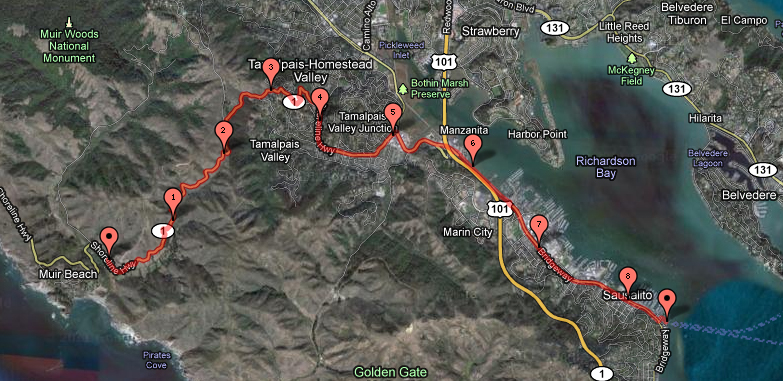
FOR A MORE DETAILED LOOK click here for the full Geoped Map provided by g-map-pedometer.com
Elevation Map for the Route provided by MapMyRide.com
From the Pelican Inn, there is one last hill to conquer before the exciting descent and return to the Marin Crossroads and Sausalito.
Miko stands atop the last hill between you and Sausalito from Muir Beach
Continue heading south on CA-1 from the intersection with Pacific Way.
Head south along CA-1 past Pacific Way
Hopefully the drivers you encounter along the way heed this sign
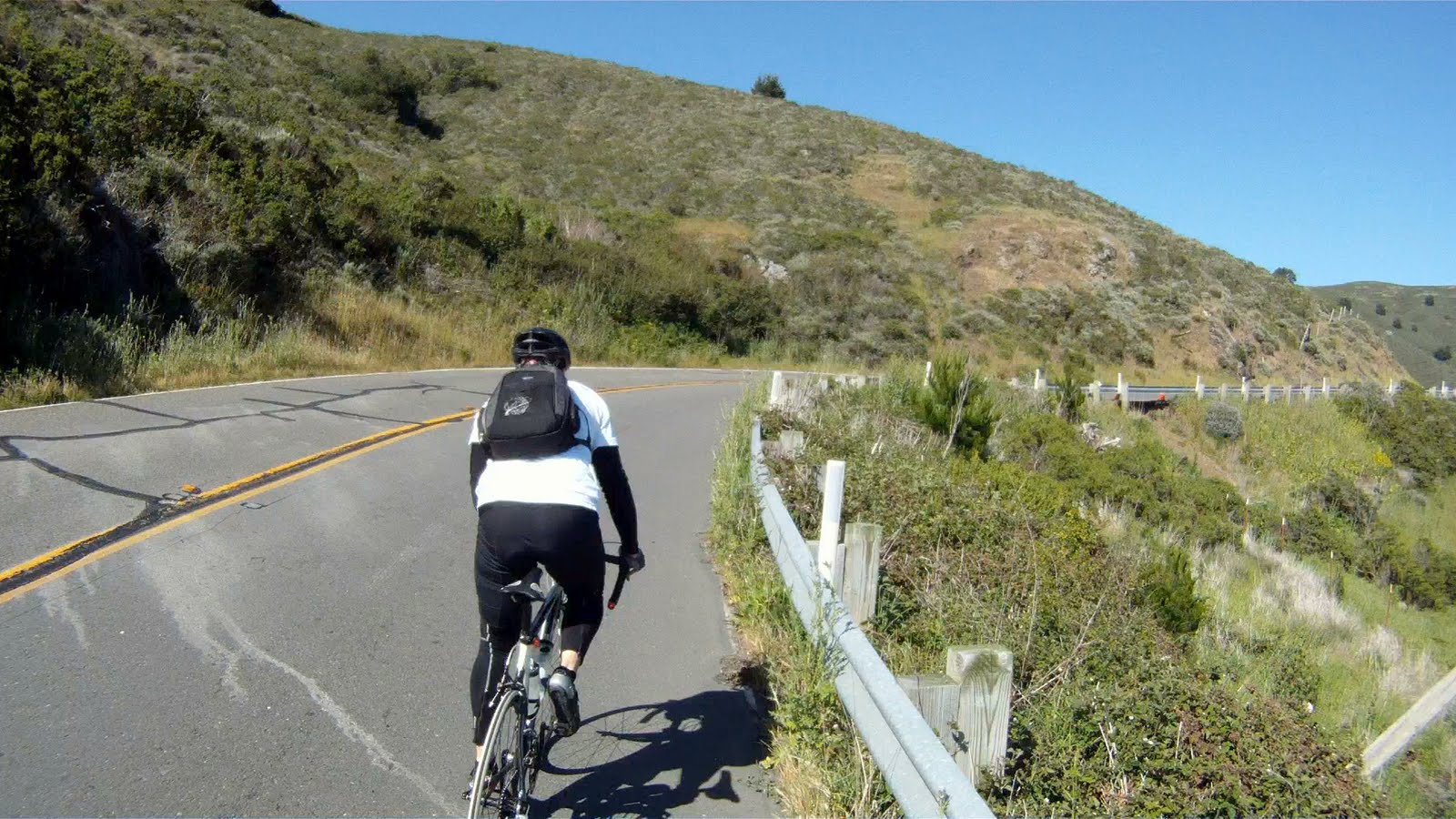
The beginning of the climb is hidden around the first corner.
Ketlon takes point and Miko readies herself for the tough climb ahead
THE WORK:
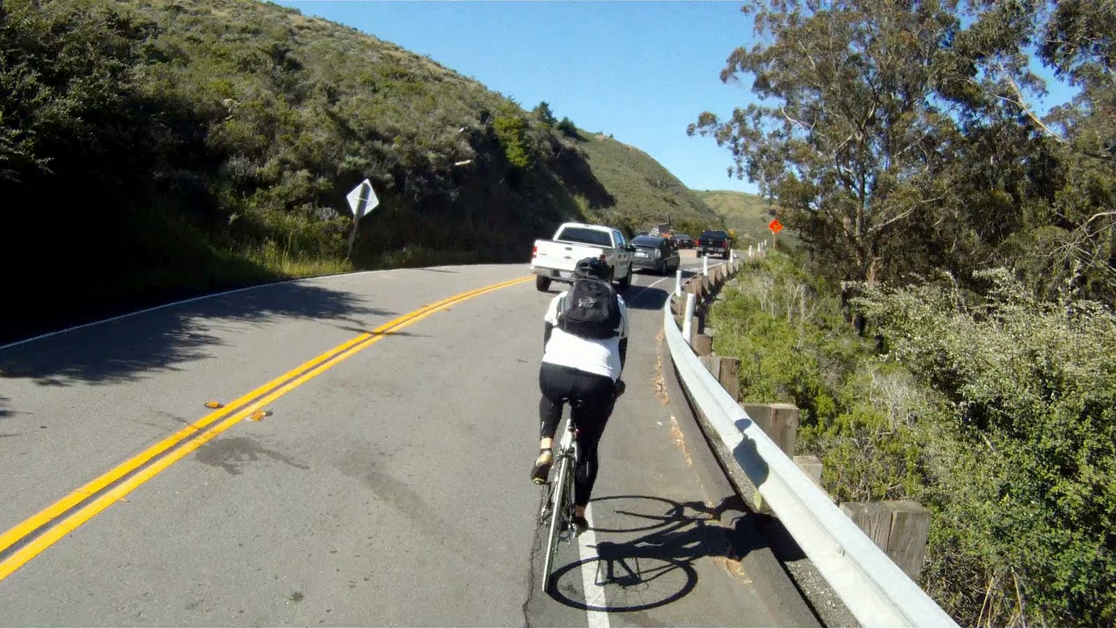
Round the first bend and you get a preview of you life for the next 2.2 miles: switchback, blind corner, switchback, blind corner…
Often the cars pass you closely on this shoulderless, narrow road.
Other times, you get a brief distraction from the climbing.
As the Ferrari F430 passed by we got a brief reprieve from the climbing, if only in our minds
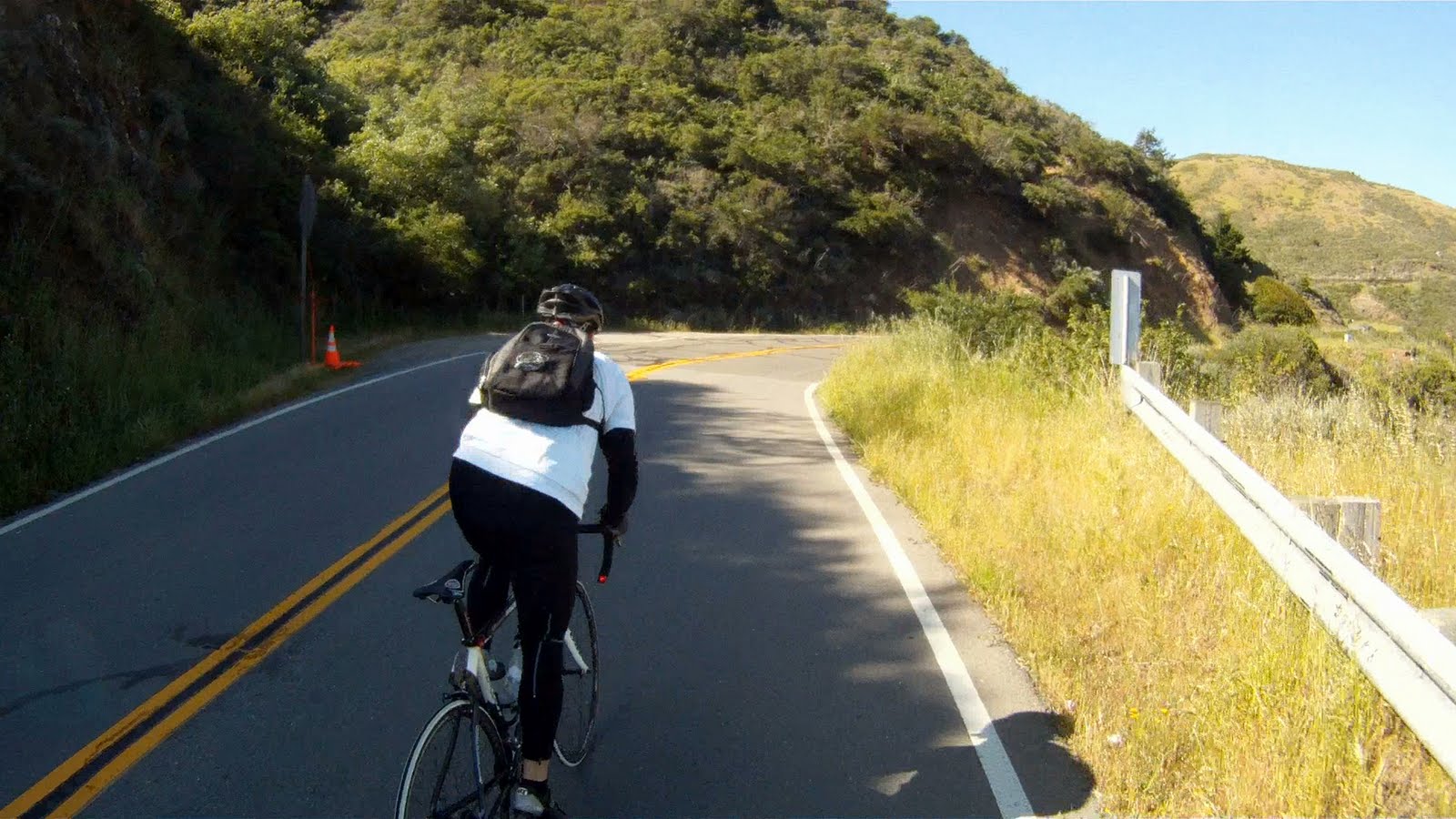
With steep gradients, the standing climb is your friend on this hill.
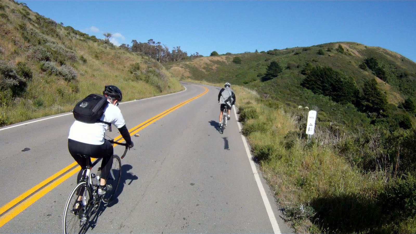
Though only sometimes necessary, passing other bikers on the narrow road requires, speed, control and a bit of luck to get a long enough break in the traffic.
Poised in the standing position, Kelton overtakes a slower mountain biker during a brief break in the traffic.
The standing climb can also be used to work different muscles to not tire your legs too quickly.
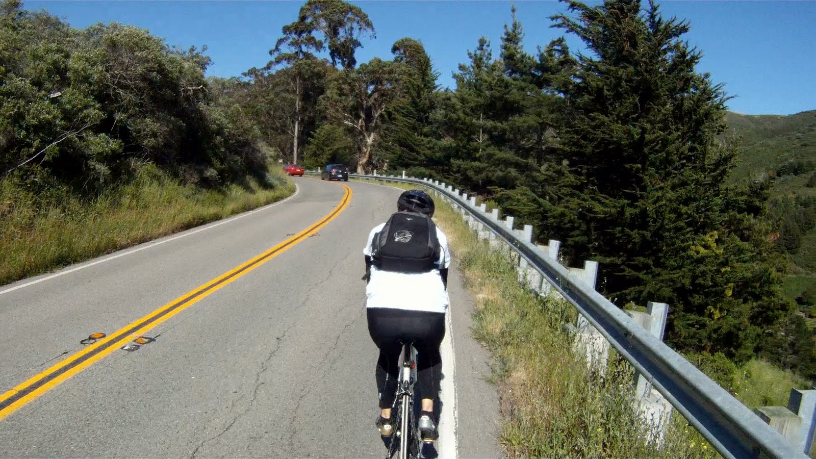
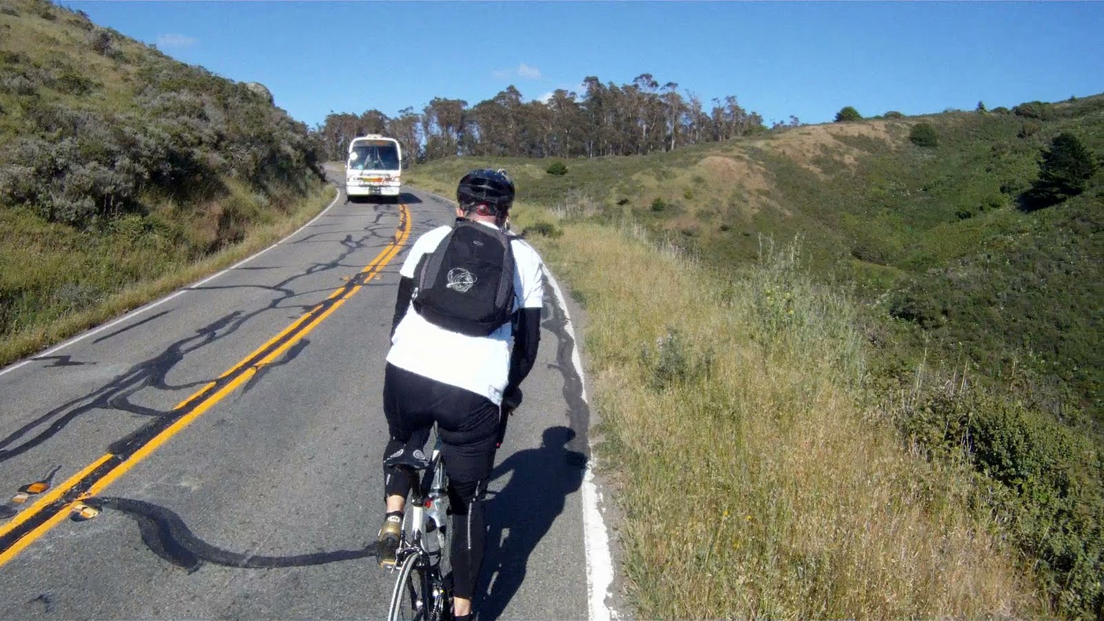
Although the scenery doesn’t change much as you continue around the next corner, make sure to enjoy the views around you.
A small shoulder is present in some areas of the climb.
As you keep climbing you can eventually see the top of the climb.
The top of the climb is at the base of the pine trees in the upper right side of this picture.
As the distance to the top gets shorter, a good standing climb helps Kelton keep pushing his way to the top.
Kelton dances in the saddle
The base of the pine trees (center) signifies the top of the climb is getting near.
Just a few more stints of out of the saddle climbing and you’re almost there.
Turn the corner and you can almost see the definition of the trees.
Then you realize you still have a few more turns to go.
Although closer, you still have a few more switchbacks to climb before the reach the top.
The road starts to reduce in gradient as you get closer to the top, keep up the RPMs and you will start to gain speed.
As the top nears, these two road signs indicate the last two switchbacks before the top.
At the sight of the last corner the blood rushes back to your legs.
Rounding the last turn, a spot to rest is just a few hundred feet away.
Kelton approaches the rest area after burning up the hill.
Once at the top, you realize the amount of traffic passing you was not just your imagination.
The top is a great spot to rest for the other members of the party still climbing.
Miko makes it into the resting area after a personal best time up the hill.
Timing is everything in this next portion of the ride. The relatively flat section between the resting area and the intersection with Panoramic Highway gives you a bit of a chance to get ready for the downhill portion of the journey. If timed well, the journey is fast and exciting. If timed poorly, you’ll catch a car quickly and be on your breaks the rest of the way to the bottom.
Watch the cars rounding the visible corners, when no other cars are in sight, that’s your queue to go!
Miko watches carefully for a clear path.
After leaving the rest area, you have a quick jaunt through the woods on a slight decline.
Which leads you past the intersection of Panoramic Highway and CA-1 and to…
How long do other bikers last in front of Miko on a downhill?
The downhill section of this ride has a wide assortment of twists, turns and straightaways.
Not only can cars be an obstacle, wildlife can be as well…notice deer, stage right.
The rolling, twisting road make for incredible fun if you can manage to get a section without cars!
After you exit the woods you have a few more turns to go before you reach the intersection of Shoreline Highway (CA-1) and Almonte Boulevard.
Though we were able to catch the entire downhill without running into any cars, be mindful, the “Sunday Drivers” are out in force every day of the week on this section and can ruin your descent. Have fun, but be mindful of the cars.
Once you reach the intersection of Shoreline Highway and Almonte Boulevard, make a right at the light and follow Shoreline Highway until you reach the on-ramp for US-101.
At US-101, check for cars and head to the middle lane, you’ll be going straight through the next two lights and under the overpass.
At the other side of the overpass, Marin Crossroads is on your left. Check for cars again and get over in the left turn lane. When clear, cross over to the Marin County Bike Path.
Follow the bike path to its end at Mike’s Bikes.
Get in the turn lane and wait for the light to turn green, then cross over to Bridgeway.
Follow Bridgeway through this section of Sausalito.
After the second light, the lanes will split at the Y-intersection ahead, go to the left. Check the lane and position yourself to merge into the upcoming bike lane next to the left lane.
Continue straight on Bridgeway and past A Bicycle Odyssey and through the next light.
Then just a another half-mile to the light in front of Bacchus & Venus.
Watch for traffic and get in the turn lane to make a left into the ferry terminal.
Make a right into the parking lot and head towards to boat.
Then get in line for the boat back to San Francisco.
Once on the boat enjoy a drink and the views of Alcatraz on your way back to San Francisco. Make sure to check out The Hat Trick to safely park your bike on the boat.
The return from Muir Beach is a tough climb at the end of a long ride, but once you are to the top, the rest of the way to Sausalito is literally downhill from there! If you do take the ferry home, make sure to listen to the Ferry Boss and enjoy the ride home!