
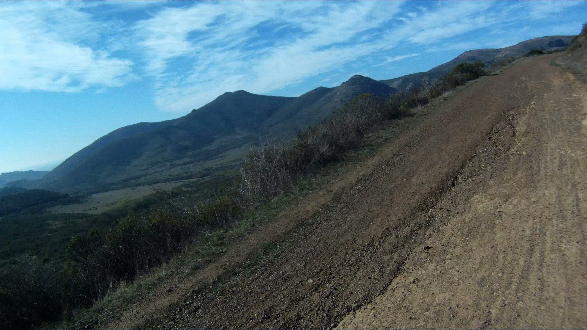
Mountain biking was invented in Marin County and there are numerous trails you can ride as you get deeper into Marin County. However, if you live in San Francisco, don’t have a car, or just don’t want to drive your bike to the trail, then there are a few trails just on the other side of the Golden Gate Bridge that you can ride to from the City. The first of these is the Bobcat Trail. This is a beautiful, but steep route which takes you up and down the Marin Headlands and then winds its way to Tennessee Valley.

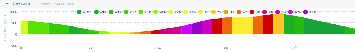
Distance: 6.3 miles (10.1 km)
Elevation Gain: 943 feet (287 m)
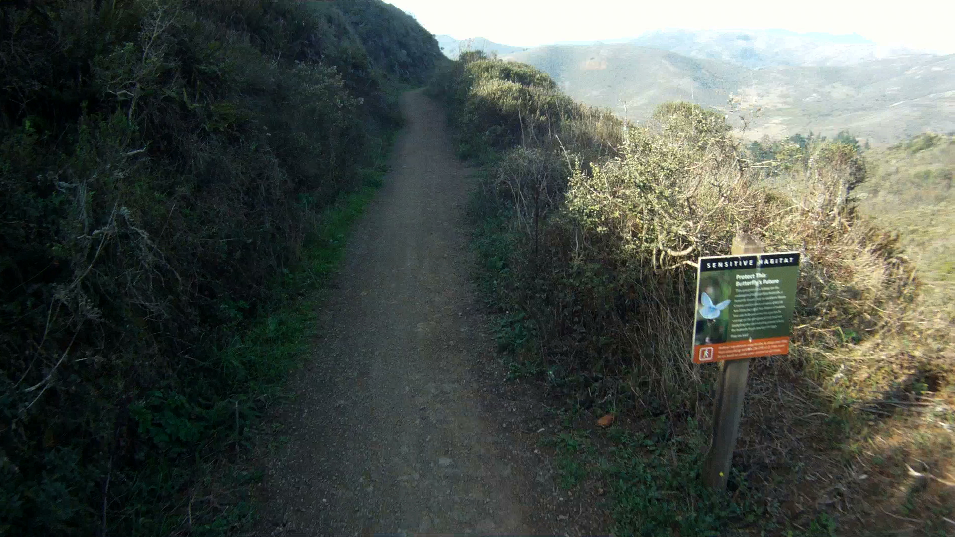
Difficulty: The loose terrain and ruts in the single track portion of the ride is a bit difficult, but the remainder, while steep, is wide and smooth. This is a good ride for intermediate cyclists.

Starting at the roundabout on Conzelman Road, about halfway up the Marin Headlands route, head past the restroom and to the dirt trail. Follow the trail as it winds down the back of the headlands to Bunker Road.


Make a left at Bunker Road and follow it a few hundred feet to the next dirt trail which heads toward a parking lot on along Bunker Road.


Continue following the trail and make a right to cross over the bridge.

After the bridge, make a left at the intersection to continue on the trial.
The trail merges with the Bobcat Trail at a tight intersection, watch for oncoming bikers and hikers as you turn right onto the Bobcat Trail.

Follow the Bobcat Trail as it winds its way up and over the hills for the next two miles to the next trail intersection.

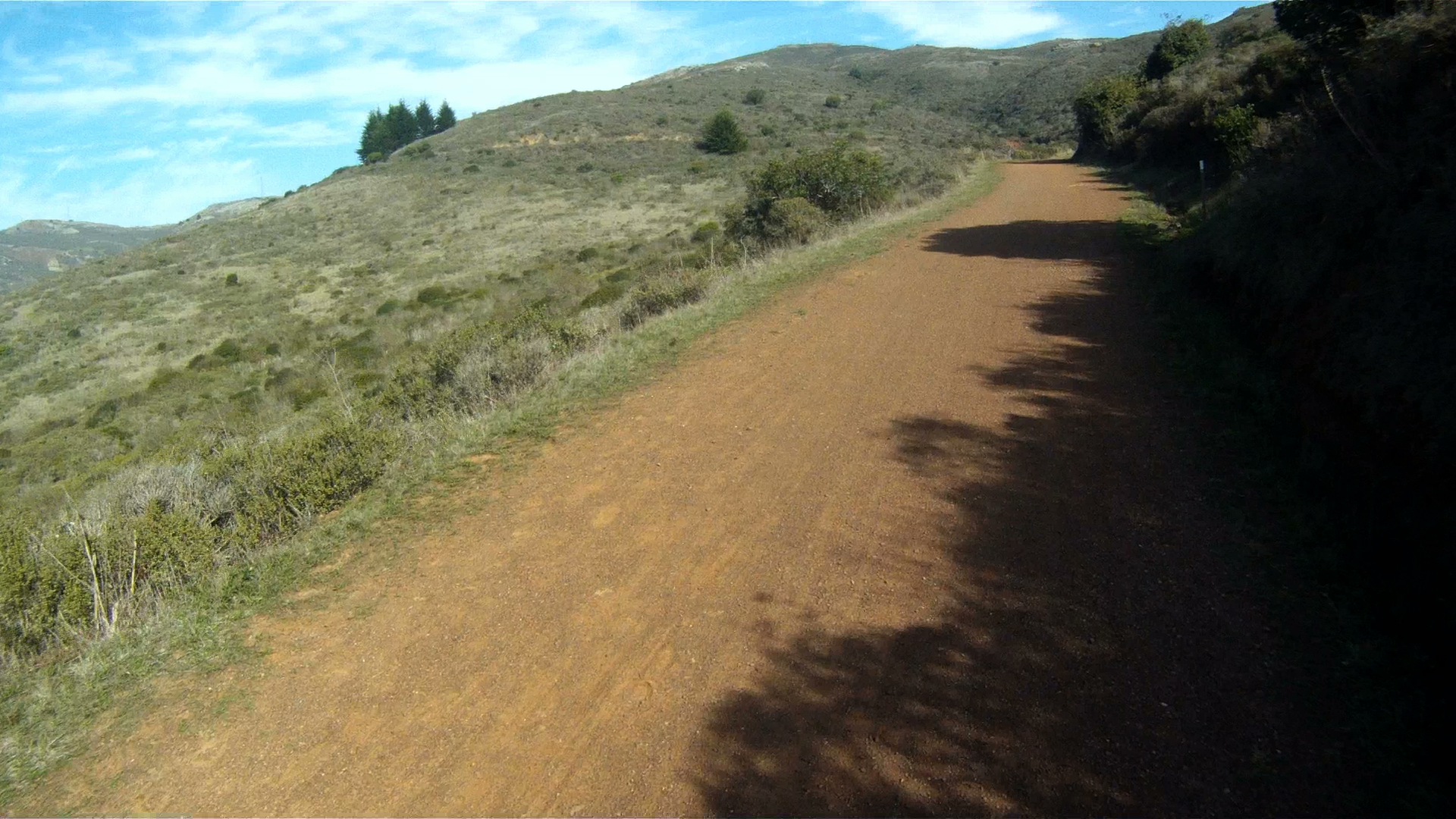

Continue along Bobcat Trail to the left down the deep descent.


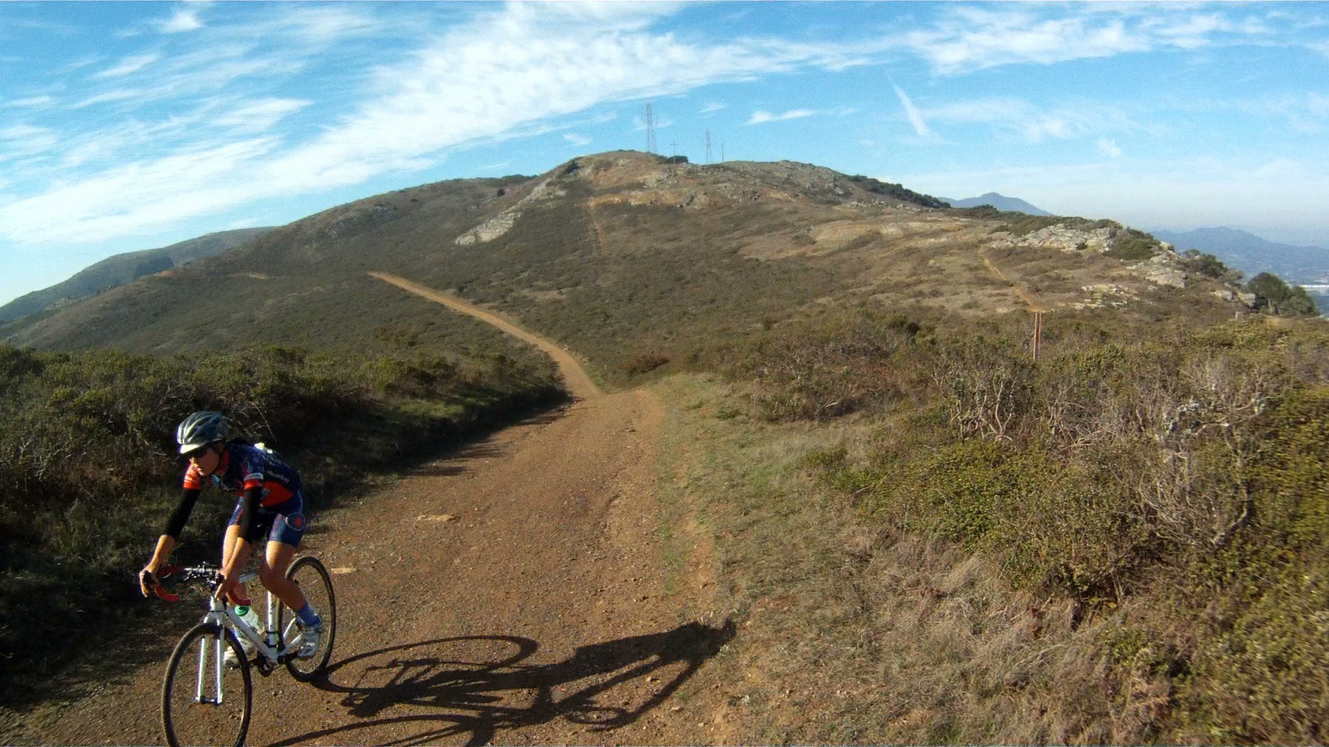
Continue climbing until the Bobcat Trail turns into the Marincello Trial and continue toward the right as the trail crests.
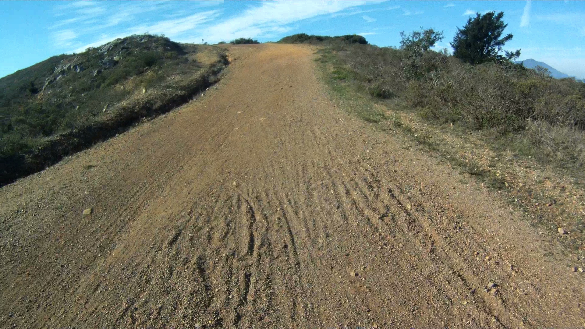

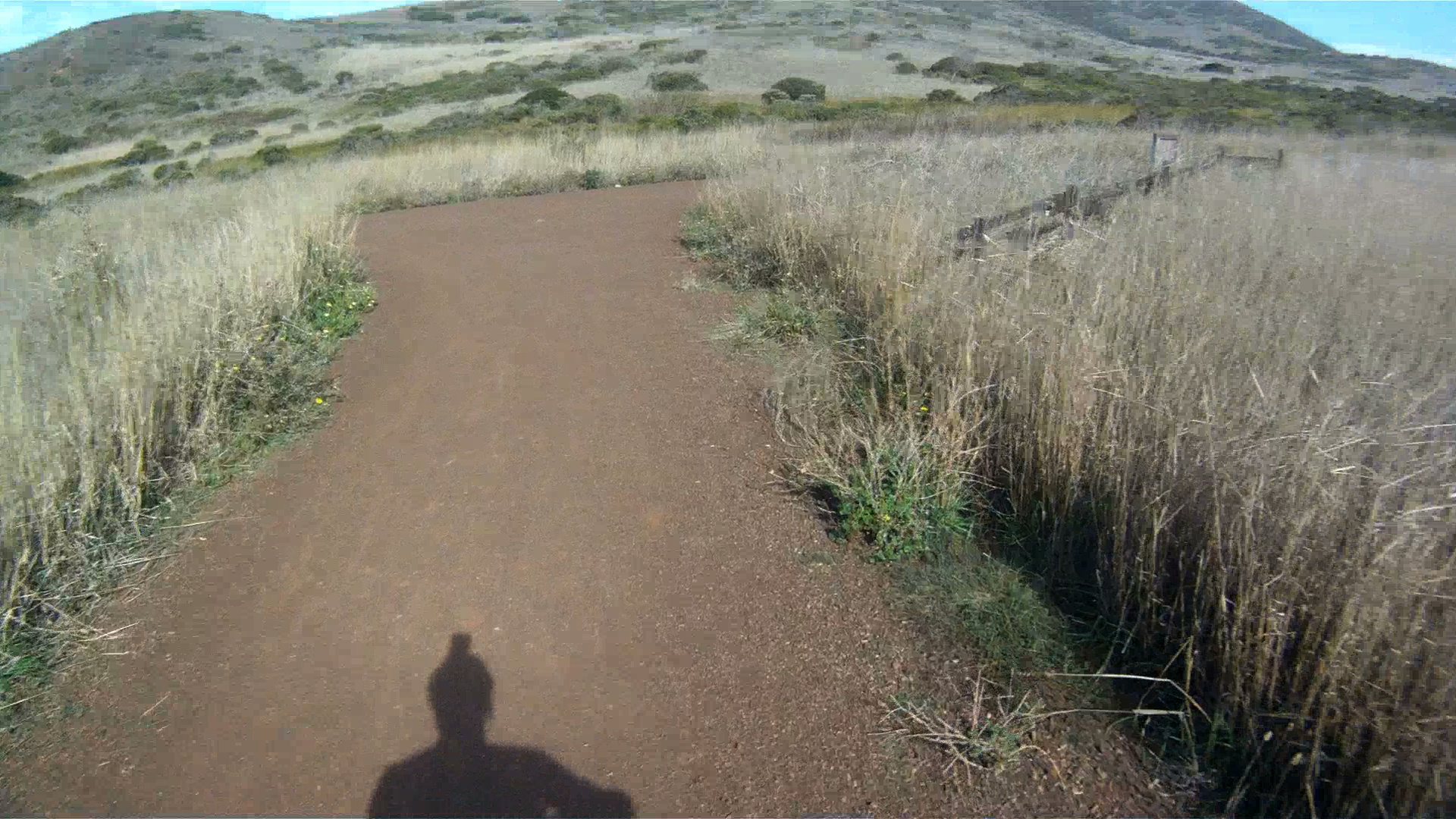
After the crest of the hill, check your brakes, take the fork to the right and get ready to descend then next 1.5 miles to the Tennessee Valley trailhead parking lot.


Where this route ends, your next choice begins. You can either head back to Sausalito via Tennessee Valley Road and the Marin Crossroads. Option 2 is to ride the Tennessee Valley trail to Tennessee Beach or the Coastal Trail. The final option is to ride back to the Marin Headlands via the Miwock Trail after walking your bike past the stables. Stay tuned to for future installments and trails.
