Trail: MARIN CROSSROADS – The Source of Great Beginnings


Marin Crossroads

Crossing over the Golden Gate Bridge is one thing, but riding into Sausalito is its own reward on a stretch of Alexander Avenue we like to call “Weeeee Fast Fun!” There’s room for slower speeds in the bike lane but if you know you can keep up with the cars you can take to the lane. Watch how we descend into Sausalito and see more about the exciting possibilities of biking in Marin from crossing the bridge.


The Marin Crossroads are where you make your decision on which northern Marin destination you will bike to today (or to an extra eight miles for a more hearty ride to Sausalito). Going north out of Sausalito takes you onto both the road and a wonderful bike path with a whirlwind of other cyclists that will hopefully make you feel like one and also keep you on the right track.
Distance from San Francisco Ferry Building (see Golden Gateway Trail): 14.43 miles
Distance from Sausalito: 4.02 miles
Difficulty: It’s not about the road, it’s about the destination. With a mix of on-road riding and multi-use paths, this relatively flat four miles is beginning portion of trails to other Marin destinations or a great adjunct to your Sausalito run.
Download your route sheet here: Directions – Marin Crossroads
From Sausalito:
In favor of a longer ride through Marin, from then end of The Golden Gateway, ride past the Sausalito Ferry Terminal, continuing to follow the main drag, Bridgeway Drive, out of town.
On the north edge of town past the central tourist traps in Sausalito you will find some restaurants worth your pit stop and a handy gas station to get you on your way.
Why stop at a gas station on a bicycle?
 
We need to fuel too! Gas stations are the quickest way to prop up your bike without the hassles of locking it, so you can get in, get your fuel (energy/sports drinks, water, power bars) and get out in less than 5 minutes. We like biking superhero, Lance Armstong, endorsed FRS drinks when we’re riding. Great energy and no crash! (No, he does not endorse this message. We wish!)
 
The Sausalito Taco Shop is a colorful gem tucked away in the northern section of Sausalito and a great place to stop for lunch. The restaurant itself grew out of a small family business near Cabo San Lucas, Mexico when the son migrated to Sausalito and opened up his own restaurant. Try the Taco de Carne Asada which makes us say “Ole!” Total stop time: 30 – 40 minutes.
 
If you’re more in the mood for breakfast or brunch, then the Fred’s Place Coffee Shop is the perfect diner. Here you will find a bevy breakfast foods, eggs however you like them and hearty sandwiches.
 
While the service is friendly and swift, due to its small size there may be a wait for a table or you will be seated at a communal table. In the meantime the heavenly aromas will wet your appetite. Total stop time: 45 – 60 minutes.
Continuing along Bridgeway alongside traffic, you will begin a slight hill climb right after you pass the last restaurants.
At each traffic light continue to go straight and follow the bike lane (the beauty of following other bikes can be as helpful as Rudolf to reindeer at times like this.)
Recognize your second hill by the side-by-side bike lane and parking lane, which give you extra room next to the traffic.
After short while longer on Bridgeway, you’ll come to the entrance of US-101 North. Though bikes are allowed for a short distance on 101, it is advisable to take the bike-friendly multi-use path after the traffic light.
The entrance to the bike path is to the right of the road when you cross the intersection.
You’ll be able to identify it because Mike’s Bikes will be on the right hand side.
Sometimes, the very beginning of the bike path is flooded.

To avoid getting your ride (and butt) wet and muddy, avoid the puddles by making a right at the stop light (at Mike’s Bikes) and instead of crossing the road turn into it.
After passing the set of buildings that includes Mike’s Bikes make a left into the parking lot.
Intuitively make your way around the back of the buildings.
You’ll find another cross-over from the parking lot right onto the bike path between the trees on the left. Mind the cyclists coming from the other direction around this tight turn. Turn right onto the bike path.

The Multi-Use Path

This path is quite pleasant and a great change from riding on the road in traffic. You’ll be riding along the northern part of the bay up Bike Route 5. The only drawback is the stop-start juxtaposition of casual walkers and speed demon bikers screaming “ON YOUR LEFT!!” Just keep an eye open and an ear out and savor this truly beautiful and otherwise peaceful bit of trail.

When you want to stop and take pictures (inevitably because of the beautiful area) just pull over to the dirt shoulder. Remember: blocking the trail with your person or bike is like double parking on a highway and brings out the inner bike douche in everyone! So try to stay aware of yourself and pose for your calendar wisely.

On this multi-use path respect all your multi-wheeled friends.

The bike path will take you under US-101 and you will continue through the marshes. Another mile or so down the road you will intersect Bike Route 8 next to a skateboard park.

Bike Path 8 is the first intersection of the crossroads.

If you choose to make a right turn, this path will take you to Tiburon through the very scenic route of Strawberrry. If you make a left here, you will follow Bike Path 10 and go to Mill Valley which is the entrance to the Mt. Tamalpais climb, Stinson Beach through the Panoramic Highway, Shoreline Highway or Muir Woods.
Going further along the bike path, you will find yourself at another juncture soon as the multi-use path faces a busy intersection.
The end of the Marin Crossroads is the light at East Blithedale Avenue.
If you decide to cross the road at East Blithedale, you will be heading towards Corte Madera. This path allows you to go not only to Corte Madera, but also will be used to go to Larkspur, Ross, San Anselmo, Fairfax and beyond.
Making a right at East Blithedale will take you the shorter route to Tiburon, explained further in my next post.
Even if you wait till the last minute to make up your mind on where to go, or just turn back for the ferry at Sausalito, just enjoy the journey through the Marin Crossroads your entry into greater Marin County.
Want to know where this photo was taken in Marin? You’ll have to keep on reading and riding to find out for yourself!

Our Stories: “Mommy what’s a bike douche?”


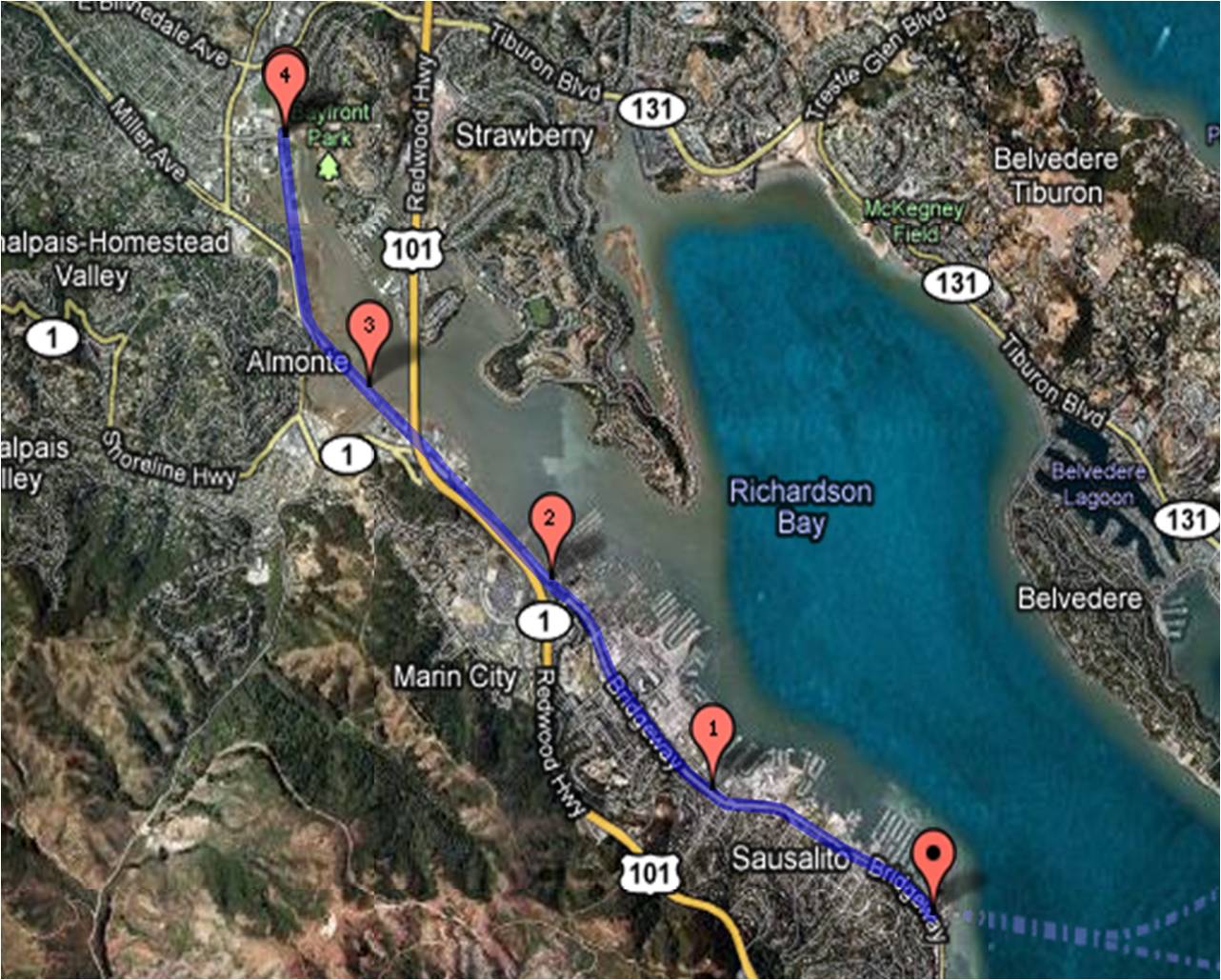
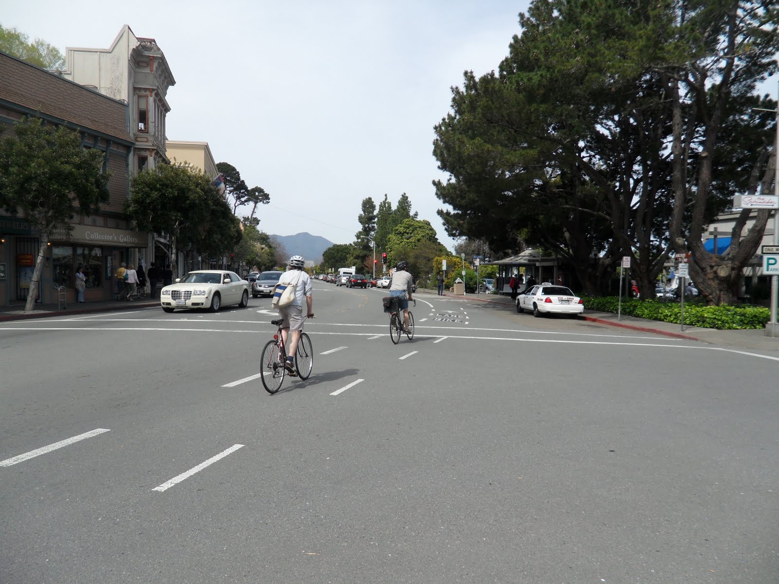
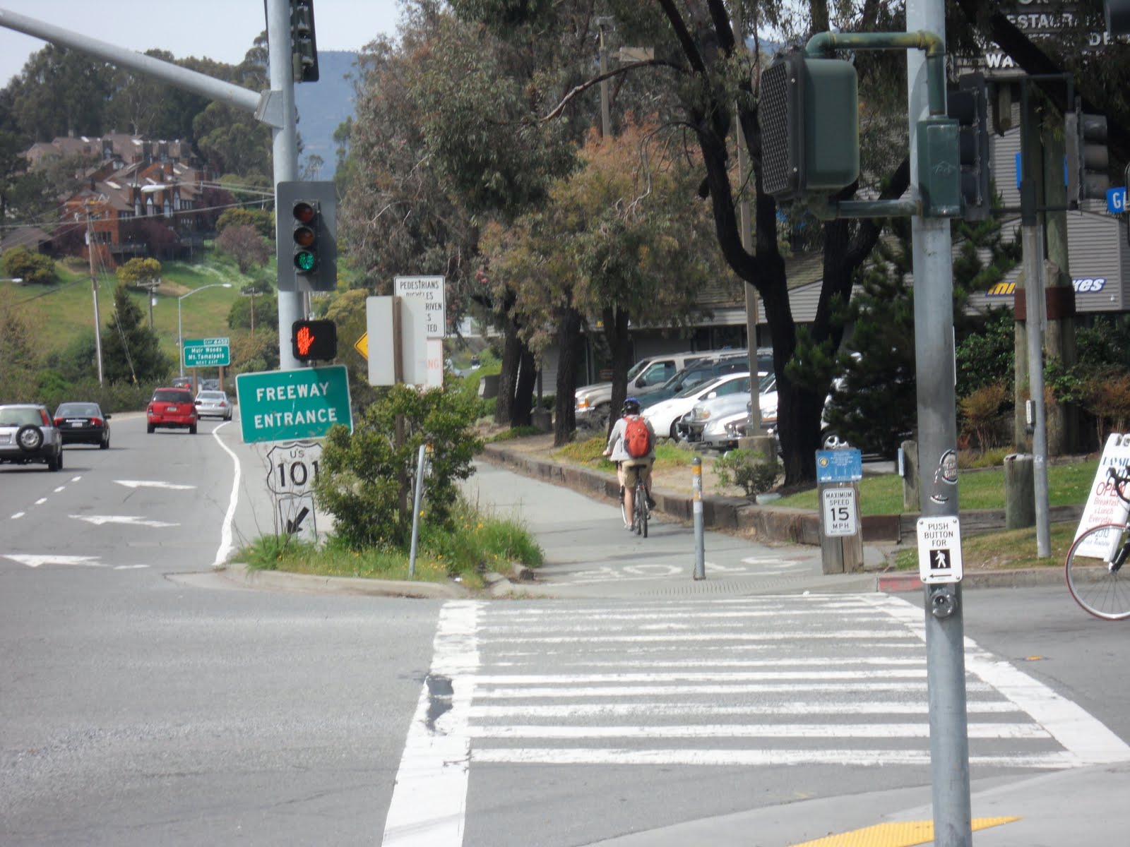
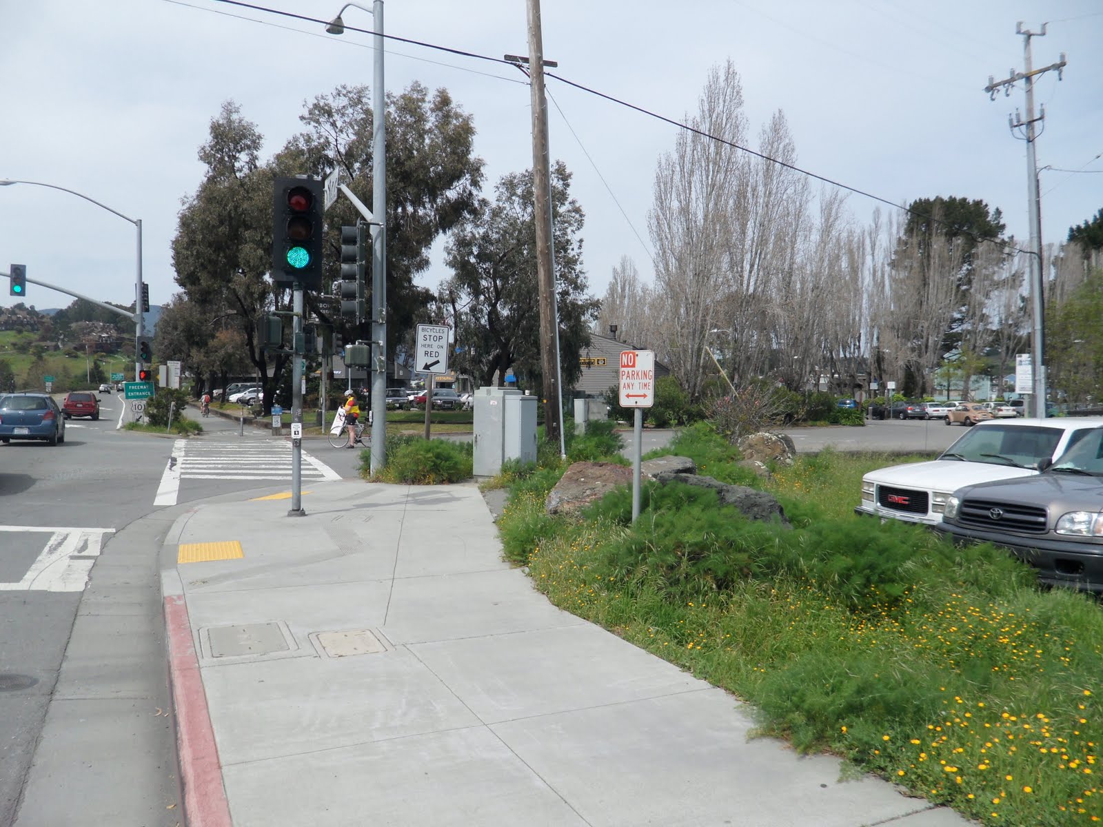
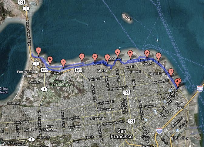
You’ve heard us refer to the “bike douche” constantly along our travels because this particular brand of biker never ceases to amaze us with their lack of common decency, concept of acceptable social behavior (or lack thereof), and fundamentally warped spatial awareness and mathematical understanding (i.e. when a line of eight people are trying to cross through a narrow passage on the bridge does it make sense to try and pass them when there’s oncoming traffic in the other direction?)

How do you define a bike douche? They come in all shapes and sizes, (racing) colors and ages and they’re EVERYWHERE. . . so I suppose the more important question to ask yourself is:

Am I a bike douche?


1.) Do you bark out “On your left!” with hostility to put fear into every person you pass even when there is ample passing space and reverberate with a secret sense of joy every time you do because being faster makes you a better person?

2.) Do you have more than one matching helmet to shoe-cover “bike couture” outfit that you wear out on ordinary weekends for no other reason than for people to infer that your matchy-matchy glory makes you “bigger, better, faster, stronger” . . . or are you just primed for that chance side-by-side picture opp with Lance Armstrong that you dream about at night?

3.) Did you invest more money in the carbon fiber goddess that you affectionate call “Baby” (a.k.a. your bike) than your car . . . that you drive to work? (Assuming that you do work and don’t just terrorize cyclists.)

4.) When another cyclist or pedestrian smiles at you on a multi-use path do you think the socially acceptable convention and appropriate response is to growl, grimace or grunt at them . . . because in an ideal world they wouldn’t even exist on your path?

5.) When another cyclist is attempting to pass you do you think the most productive and logical solution is to speed up to make it more difficult for them to do so? Do you think they are covertly trying to drag race you? Therefore would letting someone pass you make you less of a person?

6.) Is biking at your fastest anytime, all the time more important than anything else? Is it paramount to causing traffic accidents, forcing bikers into fences, stationary objects or OFF THE GOLDEN GATE BRIDGE, causing people to be thrown off their bikes, resulting breaking of bikes, injuring someone or otherwise ruining their day, putting people off biking altogether, making people lose faith in humanity, etc.? Is not caring about other bikers what gets you through the day?

7.) Do you consider your “training” of the utmost importance even though it is for no particular reason or goal except simply a hope that someday you’ll qualify for some currently unknown event that will make it all worthwhile – or as we like to call it ‘Le Tour de Douche’?

8.) Do you joy in offering mock encouragement to others such as “Oh keep going, don’t worry you’ll make it!” on minor obstacles such as small hills to reinforce your superiority? (And did that biker reply with “Bite me!”? Nice to meet you.)

9) Does reading this make you feel guilty, defensive or uncomfortable? Do you feel like you need a drink, cigarette or shower right now?

If you answered YES to one or more of these questions you could be a BIKE DOUCHE. But fret not for therapy comes as cheap as $40 by renting a comfort hybrid, complete with front saddle bag and brightly colored helmet. Put on your jeans and a t-shirt to look like a cycling tourist and witness bike douches behaving at their worst to the fine people visiting our fair city. It just might change your life.

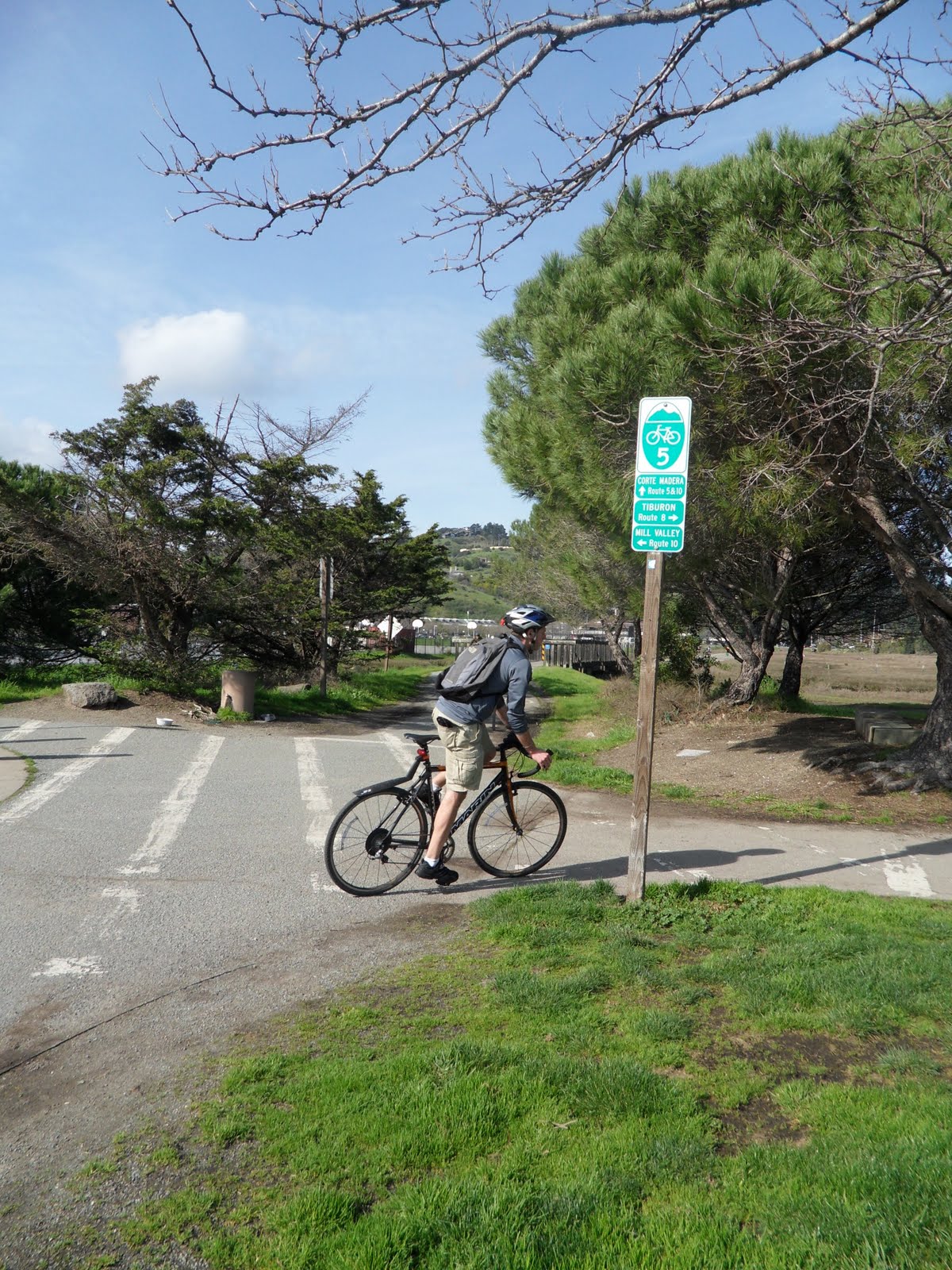
On a serious note Jon and I had completely different experiences riding different rentals that cemented our belief in this bike culture. When we rented the comfort bikes and even on our current hybrids we’ve been yelled at and taken advantage of by bikers who think they’re better than us and try to take advantage of the situation without realizing that it’s more dangerous to do so around people with less experience. On a $3000 road bike I was blatantly given more respect and treated with courtesy. It was an appalling double standard considering I was no better of a biker that day than the day before or the day after. We too get frustrated by tourists with less experience but we have patience. While we might make fun, in the end you are a bike douche if your biking puts other people’s safety in jeopardy, you frighten or terrorize people with your voice or riding, you make other’s riding less enjoyable for the sake of your own or you’re just plain douchey.

We like to bike, so don’t be a bike douche.

Trail: INAUGURAL RUN – Ferry Building to Fort Point and the Golden Gate (and Back)


Whether you are just learning to bike, a tourist that want to join all those people you see riding from Fisherman’s Warf or want to experience San Francisco in a new way, the ride to Fort Point and back is a beautiful ride along the San Francisco Bay to the Golden Gate Bridge.

Distance = 11.36 miles

Difficulty = Cake! Full of easy alternatives to on-road riding for the novice or “rusty” rider.

Download the Route Sheet here: Directions – Inagural Run

You can find a detailed map of The Inaugural Run HERE.

OUR INAUGURAL RUN TO THE GOLDEN GATE

Beginning at the Ferry Building means traveling along the Embarcadero, where there is both a narrow bike lane on the street and a wide sidewalk. Drivers along the Embarcadero can be aggressive and unforgiving while pedestrians are absent minded and slow. Both ways are more congested on the weekend but it’s not unusual to alternate between the two to avoid vans or a particularly slow group of Sunday walkers.

The first fork in the road comes at the junction of Kearny and North Point where the Embarcadero ends and the straight through is the bumpy brick path of the trolly tracks.  If you feel safest on the sidewalk and have zen-like frustration tolerance for slow, absent minded tourists . . the best solution is to enter the pavement towards Pier 39 and enjoy this Scenic Route through the marina, Pier 39 and Fisherman’s Wharf.  There will be lots of opportunities to take photos, but TONS of slow pedestrians that have the right of way.

Since we original wrote this article, a bike lane and bike turn signal has been installed at the intersection of Embarcadero and North Point Street that makes taking the route along North Point Street much easier to take.  (See Run Over Route, below.)

Intersection of Embarcadero and North Point, courtesy of Google Maps

 Scenic Route

Expect this area to be extremely tiresome because pedestrians and cyclists coexist about as well as toddlers and teenagers. It’s all about me and nobody’s happy. Take a deep breath because it’s only a short span that will make you reevaluate your own habits of jay walking and walking while talking on the cell.  Just follow the road through Fisherman’s Wharf through Aquatic Park where it meets Van Ness Avenue which is where this route meets back up with the Run Over Route.

Miko with Mt. Tamalpias in the background

Miko at the Entrance to the Aquatic Park Trail

ALTERNATE: The Run Over Route

With the addition of the bike turn signal at the intersection and bike lane along North Point Street, and the thought of commingling with throngs of pedestrians makes your skin crawl, you’d best admire Fisherman’s Wharf from a distance and instead turn left at the bike signal and head up North Point Street. This is called the Run Over Route (click here) for a reason: buses, vans, taxis, even big rigs are out to run you over – for the sheer joy of crushing cyclists!

(UPDATE: Thanks to the San Francisco Bike Coalition, part of North Point is now a dedicated Bike Lane in July 2010)

Patience my friends between stop lights and aggressive drivers, make a right at Columbus (right before the uphill) then head left on Beach. You will pass over most of the detour and come out at the top before heading down towards the hill at Fort Mason (a.k.a. the Celebrity Fit Club).

Looking up Celebrity Fit Club

After passing through the short bike path at the end of Beach Street, near the Maritime Museum, keep mind of your surroundings.  It’s not because we think you’re stupid but because when you hit the downward slope at this part you want to get some speed (barring annoying, loitering tourists and cars parking) before heading up the hill (or as I like to call it the Celebrity Fit Club) towards Fort Mason.

The Celebrity Fit Club hill is the only challenging part of this ride. Some heavier bikes (and loftier fitness levels . . . ahem) may not be UP for it. Getting into a good gear setting and finding the right pace can make all the difference. In the meantime you can “like totally pause” or alternately walk your bike.

Jon taking a pause at the top of Celebrity Fit Club.

For what it’s worth, it’s genuinely joyful to reach the top and enjoy the views of Fort Mason, the Marina district, Crissy Field and the Golden Gate from this vantage point beneath the trees (and perhaps a perfect time for a water break and picture op me thinks).

The path gets more intuitive here with slews of other bikers around to follow. Coming out of the park here we suggest biking through the parking lot at Fort Mason, which runs along the waterfront – for all the reasons we like parking lots and because it’s more scenic.

After rejoining the bike path on Marina Boulevard, at the beginning of Crissy Field there’s the option to continue on the paved bike path or brave it along the dirt path along the waterfront. The views along the water are magnificent and we recommend taking this path at least once towards the bridge.

Crissy Field Bike Path

Alternately the bike path along Crissy Field is clearly marked and sufficiently wide for both joggers and bikers, for a swifter pass through the area. We recommend taking this route back.

 Where you decide to end your ride and turn back is up to you. Miko wanted as close to the Golden Gate Bridge’s underbelly as possible, while Jon wanted confirmation that Fort Point is actually one of the key buildings in Grand Theft Auto San Andreas (and now Watchdogs 2).

There are rest spots with bathrooms at the end of the road to take the weight off your saddle sore bottom, along with plenty of great places to pose for your Christmas card photo.

Jon and Miko take a quick “pause” at the sea wall near the Warming Hut

Riding back is just backtracking with two small pieces of advice: (1.) the hill through the park at Fort Mason is less steep if you take the path on the right that winds it’s way back to the hill (which is “WEEE!” fast fun on the way down compared to “HELP!” dying up).

And (2.) when returning on the Embarcadero make a choice between pavement or street based on your first encounter. On the street pay more attention to lights and traffic in this direction as there is a lot more stopping and starting and the bad drivers that will make a right hand turn from the left hand lane, as seen in the video below:

This first ride is a  satisfying run for those learning to get their bearings on a bike and to see and photograph the city’s many tourist destinations in a short amount of time. The route to the bridge will be the springboard to many of our other routes including the delectable ones into Marin . . . good thing is it never gets old.