Trail: THE JAWS OF LIFE – Tiburon


Distance: from San Francisco Ferry Building (see Golden Gateway Trail): 22.21 miles, from Marin Crossroads: 7.78 miles
Difficulty: Enough to give you saddle sores but not enough to break a tourist on a comfort bike.
Download your route sheet here: Directions – The Jaws of Life
FOR A MORE DETAILED LOOK click here for the full Geoped Map provided by g-map-pedometer.com.
From Marin Crossroads: 
There are two routes to Tiburon: Strawberry & The Quick Fix.  This is decision-time, do you have time to go the scenic route?  Or are you cutting it close to the last ferry?  If you have the time, take the Strawberry route! It is worth the time!
SCENIC ROUTE: Strawberry Fields of Heaven
 
If you make the decision to go the scenic route through Strawberry, you will make a right off of the bike path and follow Route 8 over a bridge and onto Hamilton Drive.
All you have to do in this section is stay on Hamilton Drive until it dead ends at Redwood Highway Frontage Rd, a road running parallel to US-101, at the stop sign pictured below. At the stop sign, make a right and head towards the water.
This path will wind you once again under a US-101 bridge and then back in the opposite direction.  Just watch the signs for Route 8 as you go along the road.
 
Emerging from the underpass you will reach a strip of gas stations Keep following the road here until you see the 7-Eleven.
 
Pay attention for the Route 8 sign, this will be at the corner of Seminary Drive.
Make a right on Seminary Drive and you have entered the town of Strawberry!
Though you will keep following Seminary Drive, this gets a bit confusing at the first intersection because instead of going straight, you will make a right.
 
Once you are into Strawberry, you will see marsh lands to your right, and then just up the road, you will see the bay with the US-101 bridge off in the distance.
After passing the Golden Gate Baptist Seminary on the left (yep, there is actually a seminary on Seminary Road, go figure) you will then wind around and find yourself with San Francisco in the distant foreground and Sausalito marina to your right.
This is one of the most beautiful parts of the ride to Tiburon, so take it in and take plenty of pictures!  As you can see, we did!
The Undertow Hill
 

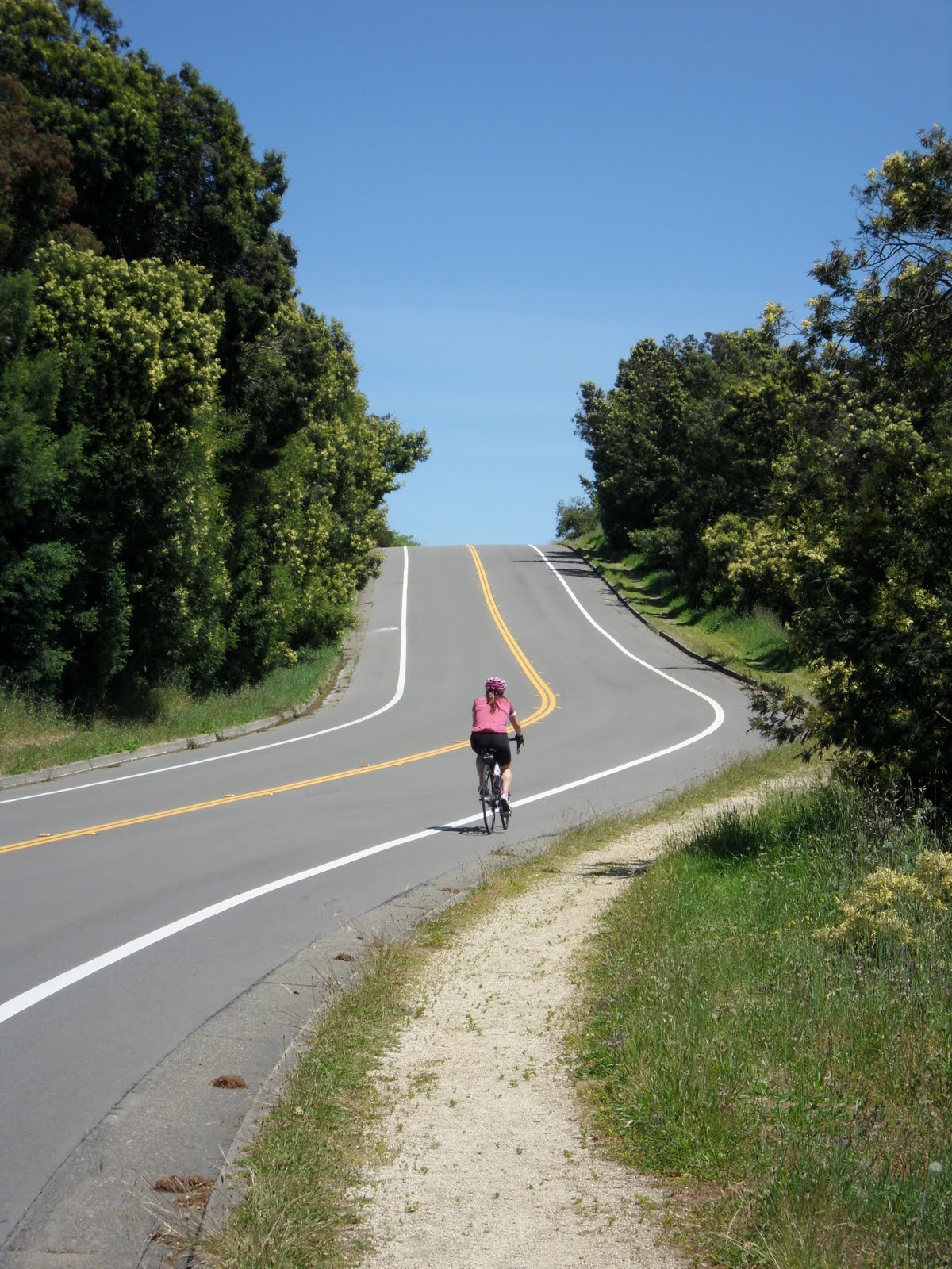
Following the road will lead you to a hill that looks deceptively short and easy. It encourages you to charge right up only to suck you in. Fatigue at this point in the ride only makes this worse. However the lack of traffic make it manageable if you need to take it slow and you have a nice downhill ahead of you.

Once you have crested this hill, there will be a fork in the road, head to the left, this will take you towards tennis courts and Strawberry drive.

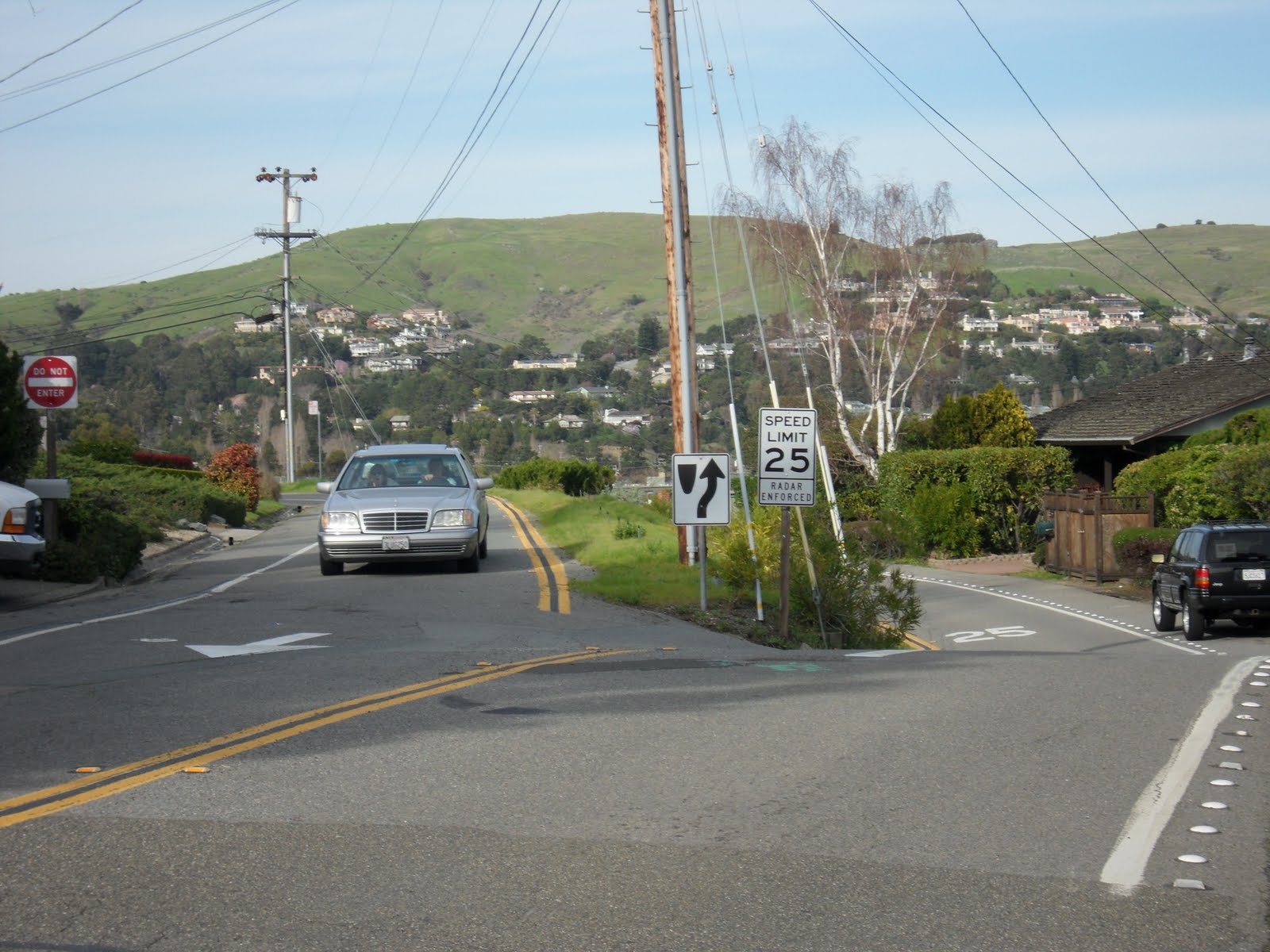
After a few more hills you will reach a point where the road becomes one lane in either direction.  Make sure to stay to the right and go in the same direction as the car traffic.

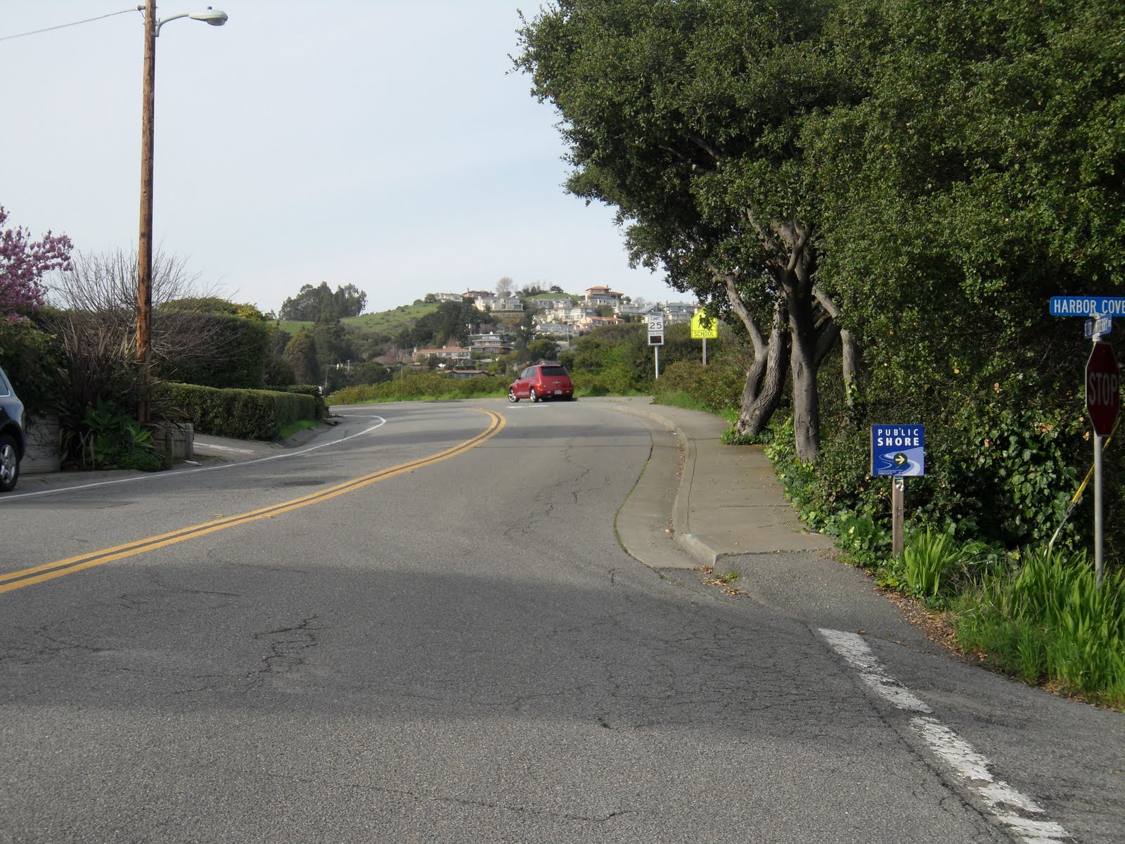
The next decision comes toward the end of Strawberry Drive, right after the road comes back together.  At that point, you will see a very inviting SuperFast downhill!

If you choose to go this way, be warned, you will have to apply your brakes quite soon after you reach the bottom because the path you take around the small peninsula is very narrow and tends to have joggers and dog walkers along it.

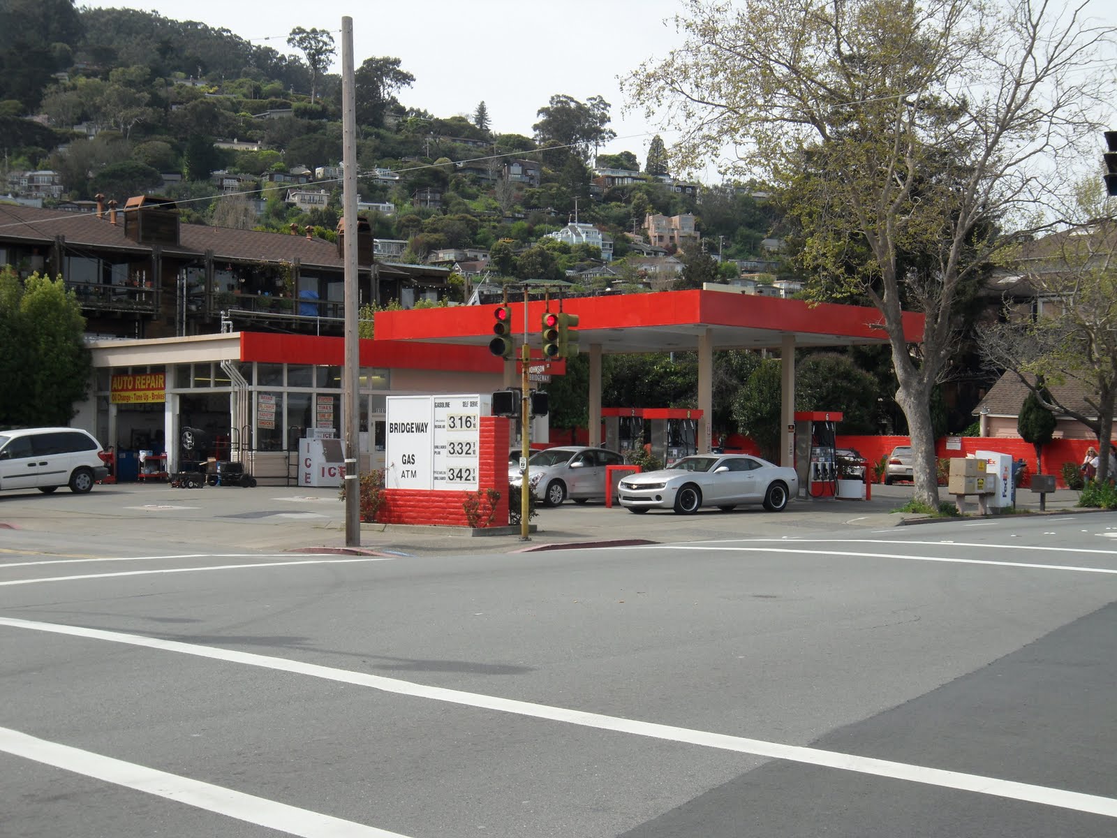
f you do choose SuperFast Downhill, just keep following the path until you get to the parking lot, there just head toward the 76 gas station and make a right on Greenwood Cove Drive.


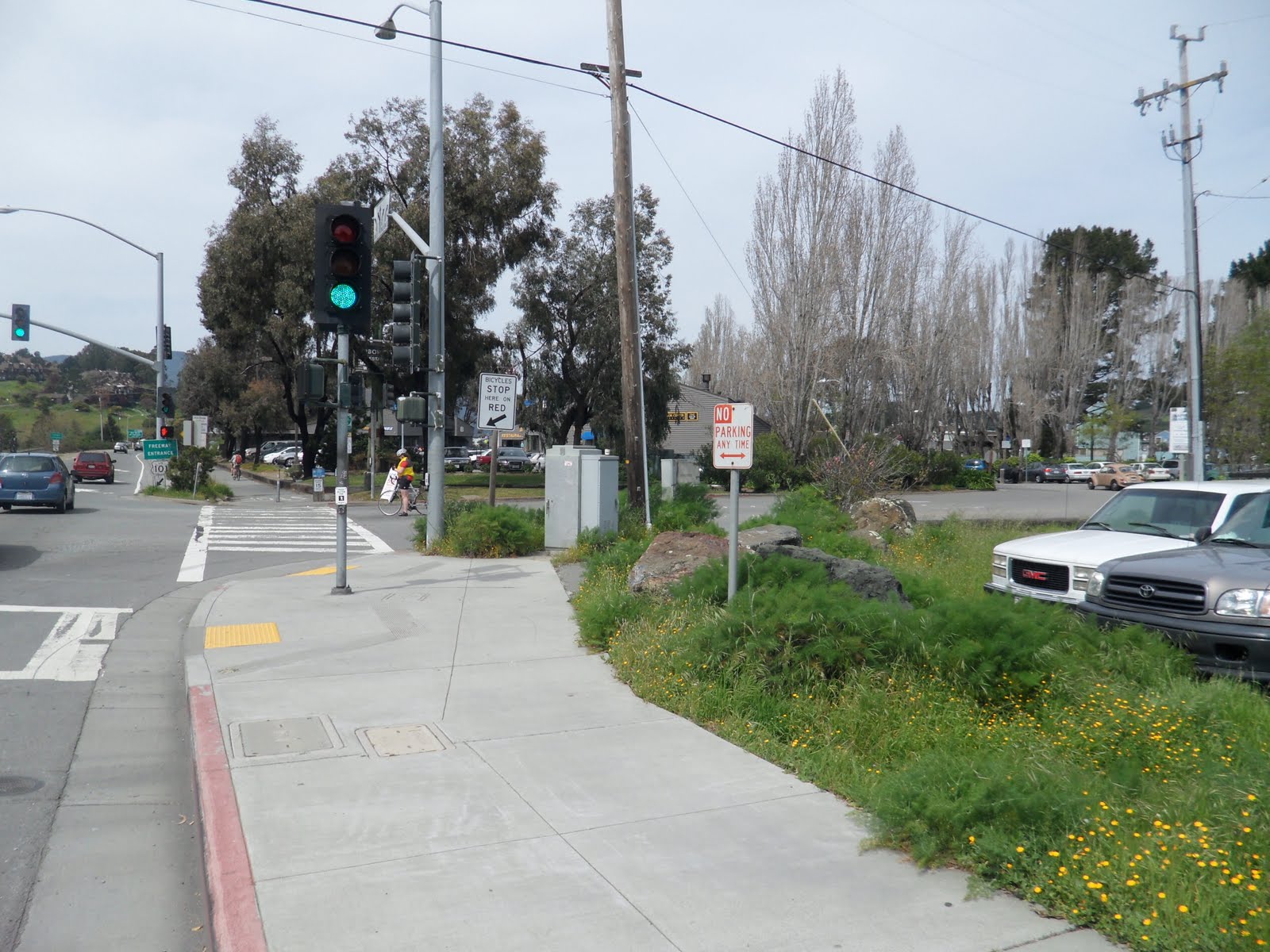
If you chose to forego SuperFast downhill and stick with Strawberry Drive, you will go down Strawberry Drive and then intersect Tiburon Boulevard at the stop light.

At Tiburon Boulevard, make a right and enjoy the downhill section of this trip. At the next light, make a right at the 76 gas station onto Greenwood Cove Drive.

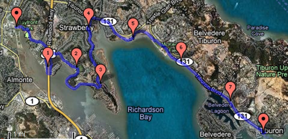
I’ll finish the route on the other side of Option 2.

OPTION 2: The Quick Fix 

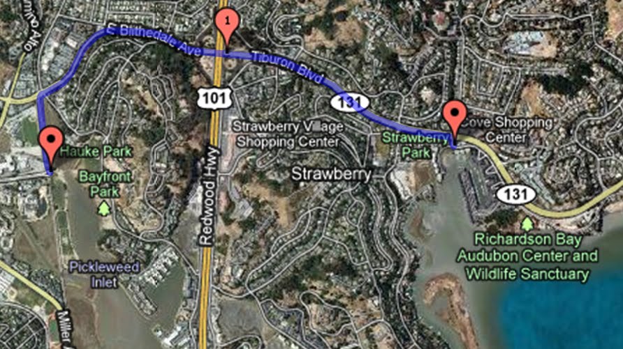
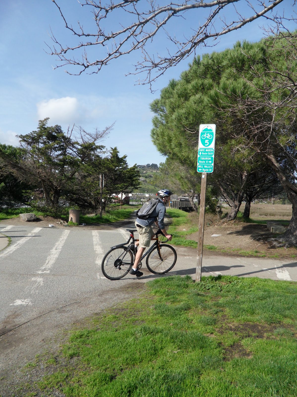
If you are running a little short on time and you choose to stay on Route 5, then about half a mile from the Route 8 intersection you will come up on East Blithedale Avenue and a stop light.


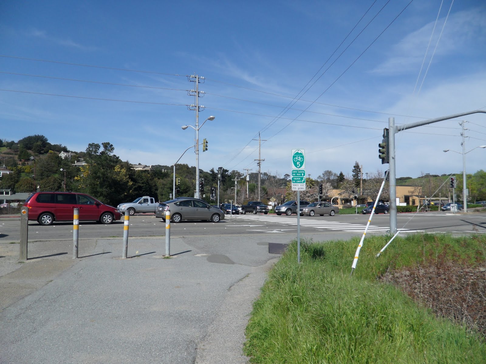
The signs for the bike paths are a bit confusing, but just enter the road in the bike lane and follow East Blithedale Boulevard.

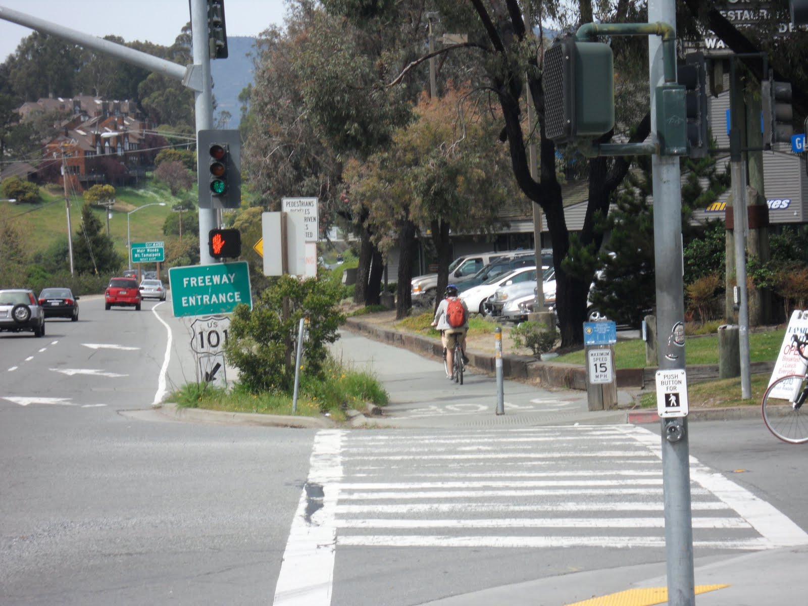
Be careful along this route as there are a few different intersections where cars will either be exiting the road onto a highway ramp, or just exiting the highway onto the road.  Keep following the road as it goes over US-101.  Once you have passed all of the intersections around the US-101 overpass, the rest of the ride is less dicey.

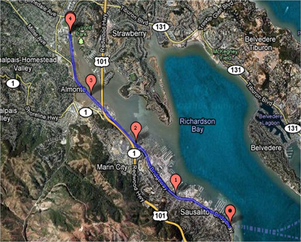
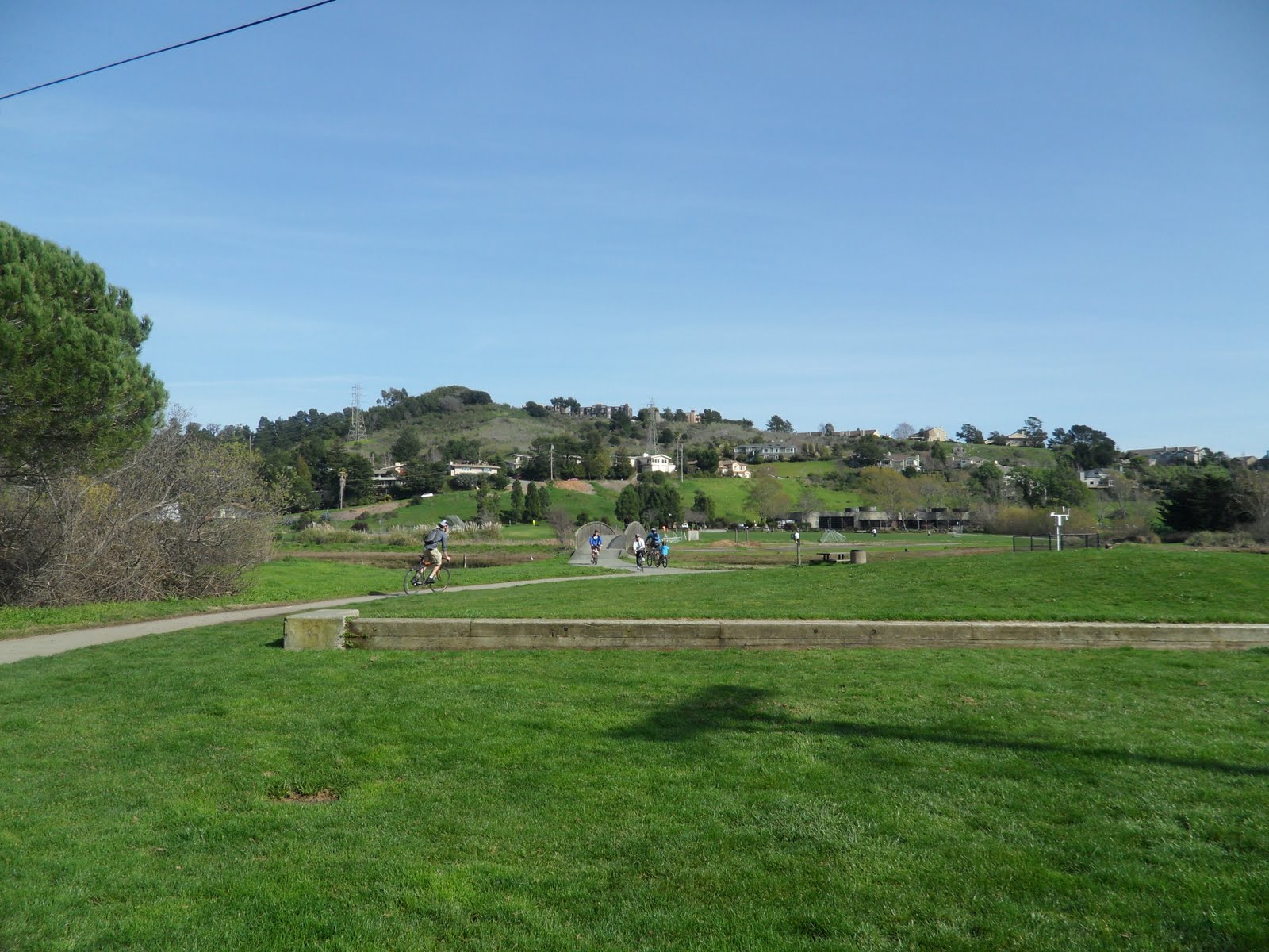
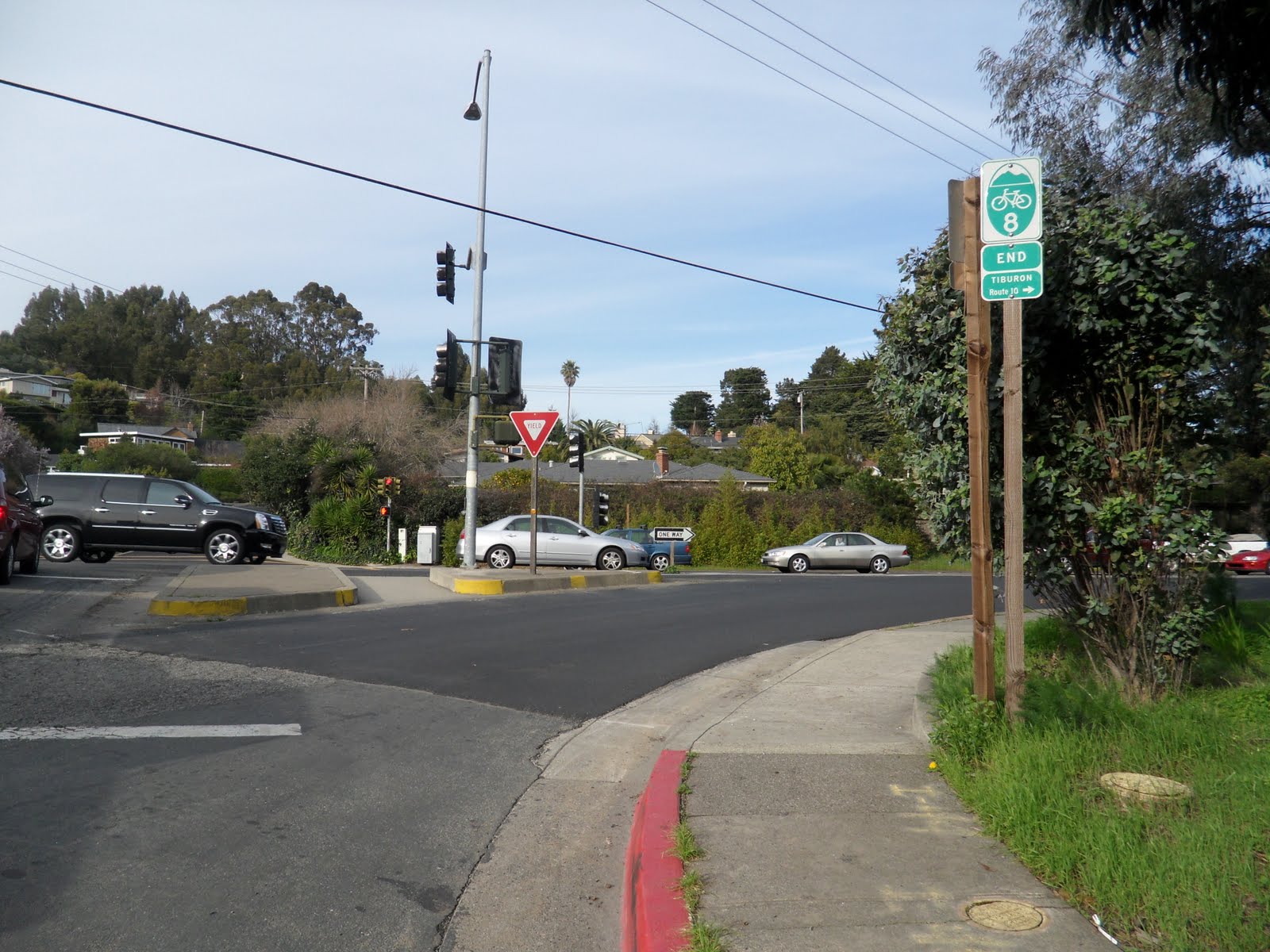
Keep straight on Tiburon Boulevard and you will intersect Strawberry Drive at a light.  At the next light, make a right at the 76 gas station (Greenwood Cove Drive), the bike path sign signals Route 10 to the right, and the rest of the route is the same for everyone (pictured above).

Options Merge:

Following Greenwood Cove Drive you will encounter another uphill area before gliding down to the end of the court.

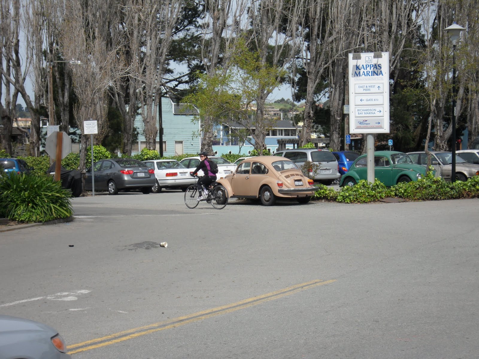
To the left side of the court is an entryway for a path over to a parking lot.

This lot leads to Route 17 and the Tiburon bike path.  When you first enter the bike path to the right of the parking lot, you’ll see the path fork to the left and to the right.  If you head to the right, you better have a mountain bike! This is a gravel path that leads along the shoreline.

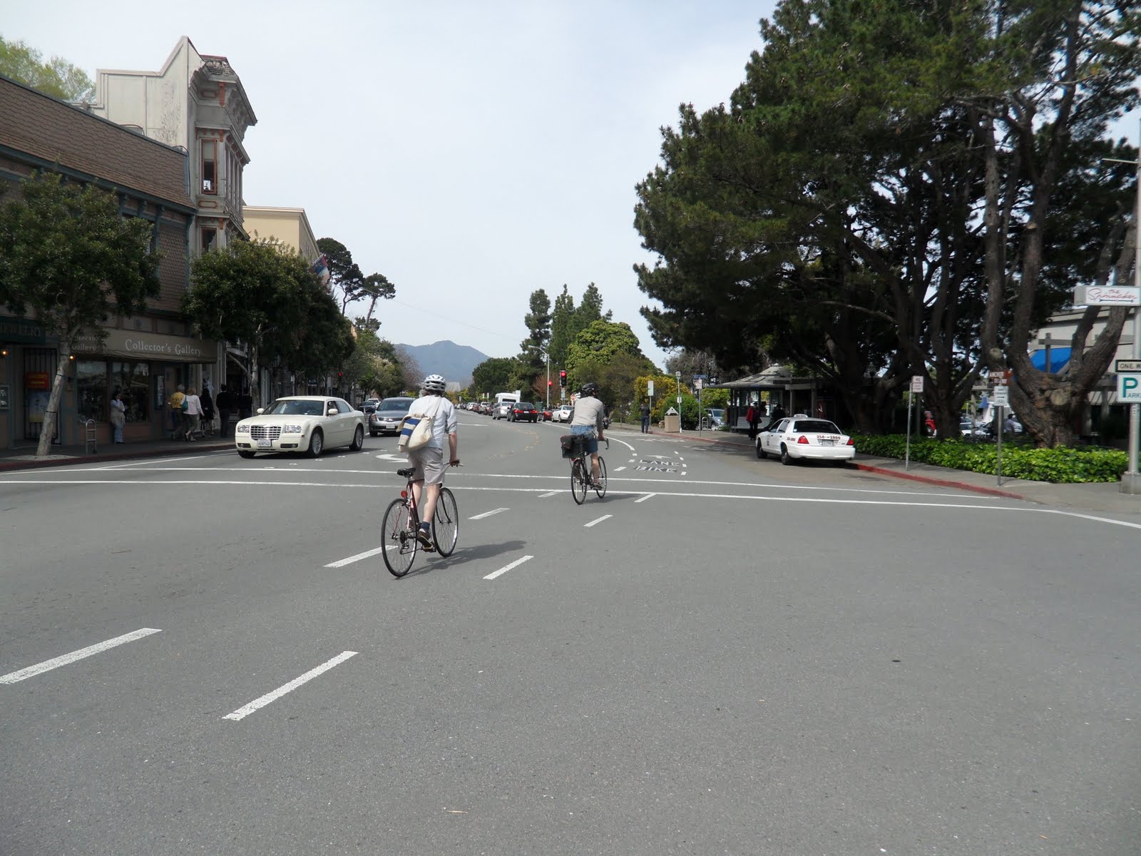
Your better option is to veer to the left and up the next hill.  Once up the hill you will see the bike path and, more than likely, a whole lot of pedestrians! Just take it easy through this section and if you have a bell, use it!

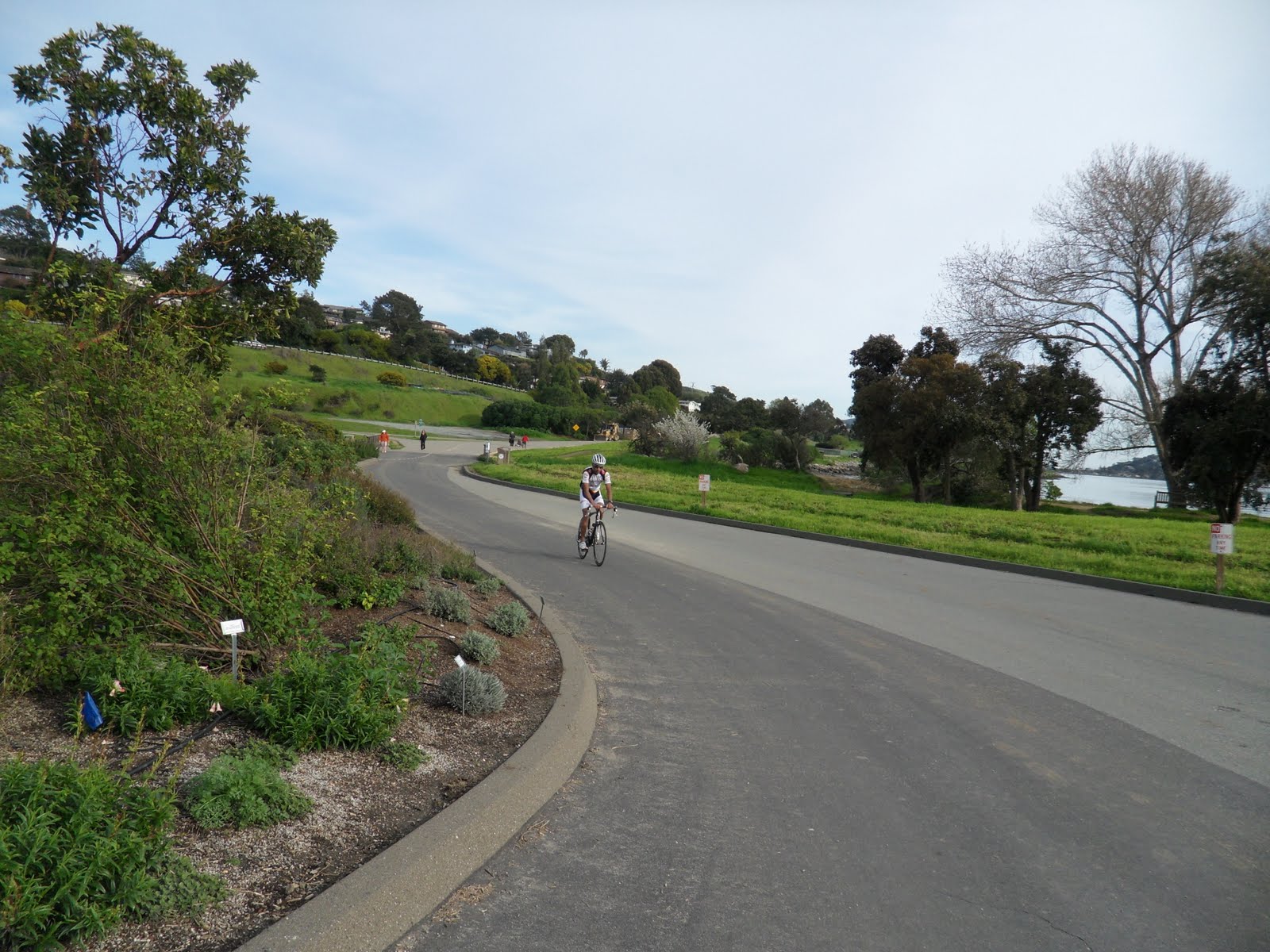
Follow this nice and easy path all along the shoreline.  Take in the beautiful scenery, take some pictures and just enjoy how much fun bike riding in this area can be!


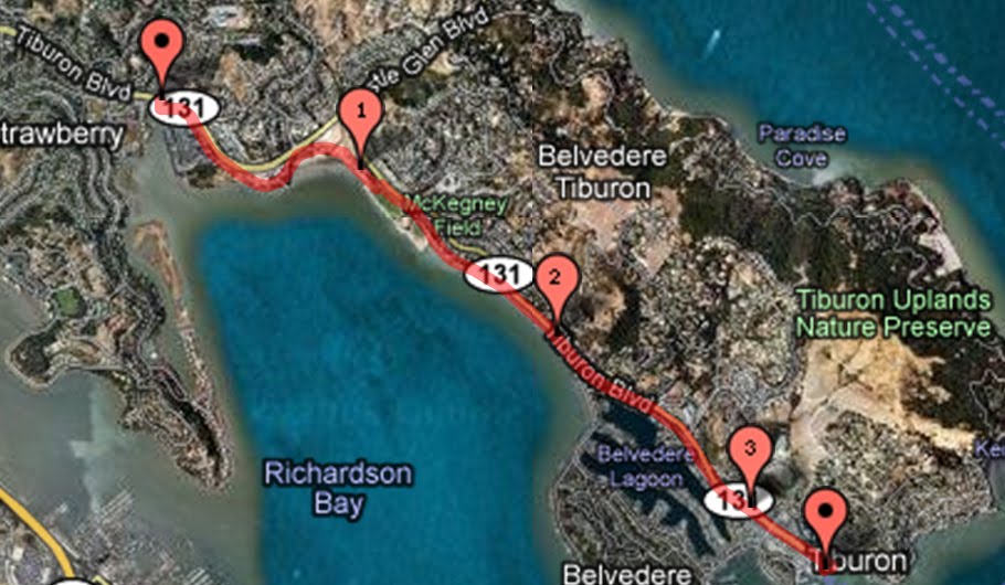
The path will cross a road at a stoplight, so you’ll have to watch for cars coming around the bend.  Cross the road and the path continues for a little long, or if you’re confident enough, go ahead and get back onto Tiburon Boulevard, the rest of us will be joining you soon.

If you stayed on the path, just keep going along the path.  Eventually, you’ll make it to another intersection where you’ll have to make sure to stay to the right for the short split and just head down the path.


Just a bit down the way the path will end and you’ll have to merge back on to Tiburon Boulevard.  Once you’re back on the road, it’s just a straight shot to the end of this run. No worries, as a bike lane is provided the whole way to the ferry terminal.


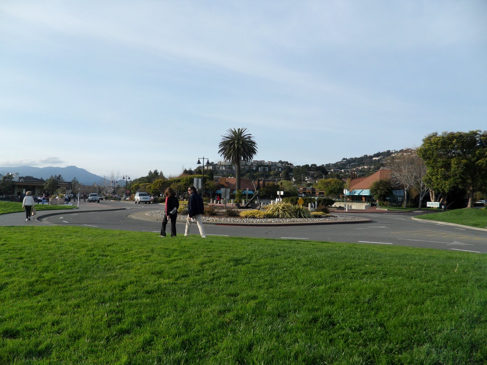
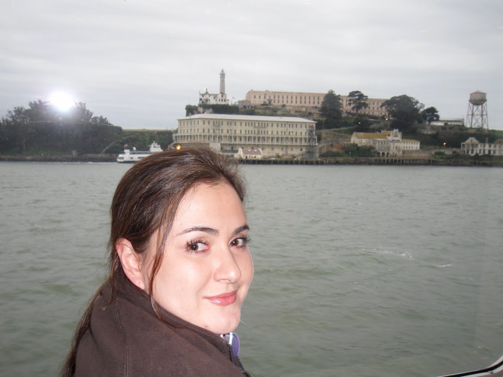
From the Ferry Terminal at the round-a-bout, you have a great view of Angel Island, San Francisco and the marina.  Once you reach the ferry terminal, park your bike and enjoy one of the local restaurants before the ferry ride back to Pier 41.

Our favorite restaurant is Sam’s Anchor Cafe.  Here, there is both indoor and outdoor seating.  Be warned though, on a nice day in the spring and summer, the wait can be an hour and a half for a table outside, while you may be able to walk right in to one inside.  Just be aware of how much time you have before your ferry arrives.


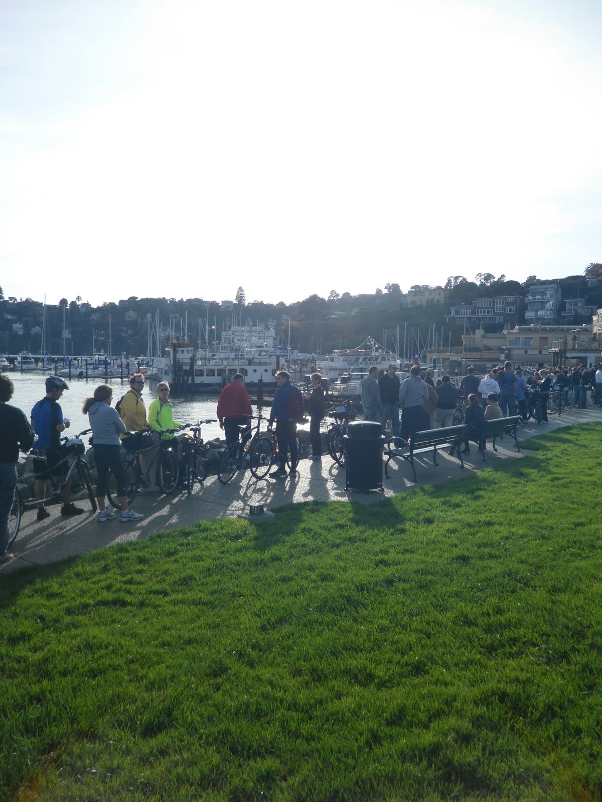
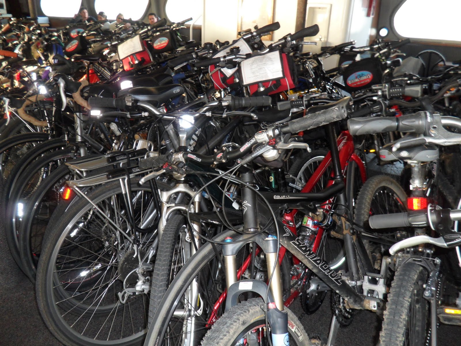
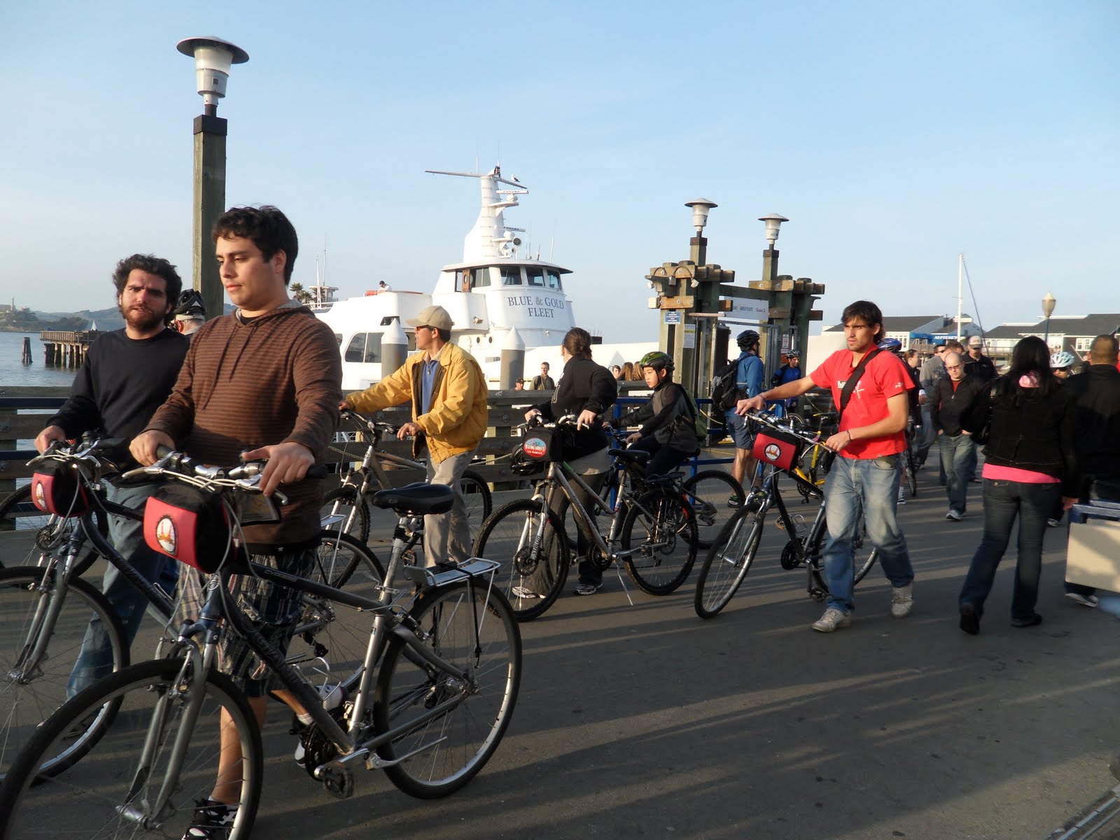
On nice days, you’re likely to run into a long line of tourists and cyclists.  Beware that the Tiburon Ferry stacks bikes one top of one another because there is only one bike rack!! We call this the bike massacre!  It also doesn’t help that the ferries from Tiburon stop in Sausalito as well most of the time.  Even more bikes will be piled up in that mess.  Just put your gears into 1-1 in an attempt to protect your derailers. For more on how to fend for your bike read about “The Hat Trick“.

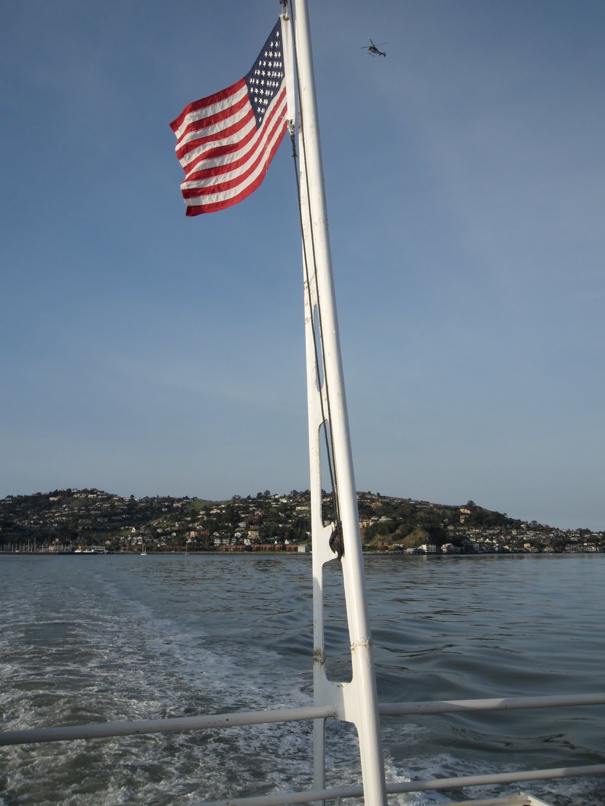
Make sure you take plenty of pictures from Tiburon.  You’ll pass by Angel Island, Sausalito, the Golden Gate Bridge and Alcatraz.


Fisherman’s Wharf

Once you make it back to Pier 41 at Fisherman’s Warf, you have a lot of restaurants to choose from.  We enjoying going to the outdoor stalls for dungeness crab.  When this becomes our dinner of choice, we go to Nick’s Lighthouse.

These guys have their fresh, live crab out at the steaming stall on the right.


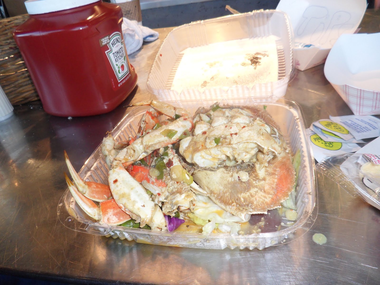
It can be prepared either just steamed, or if you ask nicely at the counter, they also can prepare it in garlic butter, or our favorite, the spicy garlic butter!!!

Make sure to try not only the crab, but the crab chowder or lobster bisque as well!! Both are just amazing on a cold day.  You can get them in either a cup or a Boudin Bread Bowl.  They also serve beer and wine outside, you can see my Anchor Steam in the brown bag.  Nick’s is a great place and the service is awesome!

You might ask, “Hey, what did you do with your bikes?”  That’s a good question! The closest bike racks are down the street in front of the Boudin Bakery.  That’s a bit of a hike when you’re hungry! So what we did to ensure that our bikes were not only safe, but visible, is to lock them to the anchoring chains around the parking lot across the street.

Using the U-Lock and cables, just run the sides of the U-Lock through the chain links and your cables after connecting your cables to your rear wheel, frame and front wheel.  This is as secure as the bikes can get.

Just think of dinner as your reward for making it through the jaws of life!

Trail: MARIN CROSSROADS – The Source of Great Beginnings


Marin Crossroads

Crossing over the Golden Gate Bridge is one thing, but riding into Sausalito is its own reward on a stretch of Alexander Avenue we like to call “Weeeee Fast Fun!” There’s room for slower speeds in the bike lane but if you know you can keep up with the cars you can take to the lane. Watch how we descend into Sausalito and see more about the exciting possibilities of biking in Marin from crossing the bridge.


The Marin Crossroads are where you make your decision on which northern Marin destination you will bike to today (or to an extra eight miles for a more hearty ride to Sausalito). Going north out of Sausalito takes you onto both the road and a wonderful bike path with a whirlwind of other cyclists that will hopefully make you feel like one and also keep you on the right track.
Distance from San Francisco Ferry Building (see Golden Gateway Trail): 14.43 miles
Distance from Sausalito: 4.02 miles
Difficulty: It’s not about the road, it’s about the destination. With a mix of on-road riding and multi-use paths, this relatively flat four miles is beginning portion of trails to other Marin destinations or a great adjunct to your Sausalito run.
Download your route sheet here: Directions – Marin Crossroads
From Sausalito:
In favor of a longer ride through Marin, from then end of The Golden Gateway, ride past the Sausalito Ferry Terminal, continuing to follow the main drag, Bridgeway Drive, out of town.
On the north edge of town past the central tourist traps in Sausalito you will find some restaurants worth your pit stop and a handy gas station to get you on your way.
Why stop at a gas station on a bicycle?
 
We need to fuel too! Gas stations are the quickest way to prop up your bike without the hassles of locking it, so you can get in, get your fuel (energy/sports drinks, water, power bars) and get out in less than 5 minutes. We like biking superhero, Lance Armstong, endorsed FRS drinks when we’re riding. Great energy and no crash! (No, he does not endorse this message. We wish!)
 
The Sausalito Taco Shop is a colorful gem tucked away in the northern section of Sausalito and a great place to stop for lunch. The restaurant itself grew out of a small family business near Cabo San Lucas, Mexico when the son migrated to Sausalito and opened up his own restaurant. Try the Taco de Carne Asada which makes us say “Ole!” Total stop time: 30 – 40 minutes.
 
If you’re more in the mood for breakfast or brunch, then the Fred’s Place Coffee Shop is the perfect diner. Here you will find a bevy breakfast foods, eggs however you like them and hearty sandwiches.
 
While the service is friendly and swift, due to its small size there may be a wait for a table or you will be seated at a communal table. In the meantime the heavenly aromas will wet your appetite. Total stop time: 45 – 60 minutes.
Continuing along Bridgeway alongside traffic, you will begin a slight hill climb right after you pass the last restaurants.
At each traffic light continue to go straight and follow the bike lane (the beauty of following other bikes can be as helpful as Rudolf to reindeer at times like this.)
Recognize your second hill by the side-by-side bike lane and parking lane, which give you extra room next to the traffic.
After short while longer on Bridgeway, you’ll come to the entrance of US-101 North. Though bikes are allowed for a short distance on 101, it is advisable to take the bike-friendly multi-use path after the traffic light.
The entrance to the bike path is to the right of the road when you cross the intersection.
You’ll be able to identify it because Mike’s Bikes will be on the right hand side.
Sometimes, the very beginning of the bike path is flooded.

To avoid getting your ride (and butt) wet and muddy, avoid the puddles by making a right at the stop light (at Mike’s Bikes) and instead of crossing the road turn into it.
After passing the set of buildings that includes Mike’s Bikes make a left into the parking lot.
Intuitively make your way around the back of the buildings.
You’ll find another cross-over from the parking lot right onto the bike path between the trees on the left. Mind the cyclists coming from the other direction around this tight turn. Turn right onto the bike path.

The Multi-Use Path

This path is quite pleasant and a great change from riding on the road in traffic. You’ll be riding along the northern part of the bay up Bike Route 5. The only drawback is the stop-start juxtaposition of casual walkers and speed demon bikers screaming “ON YOUR LEFT!!” Just keep an eye open and an ear out and savor this truly beautiful and otherwise peaceful bit of trail.

When you want to stop and take pictures (inevitably because of the beautiful area) just pull over to the dirt shoulder. Remember: blocking the trail with your person or bike is like double parking on a highway and brings out the inner bike douche in everyone! So try to stay aware of yourself and pose for your calendar wisely.

On this multi-use path respect all your multi-wheeled friends.

The bike path will take you under US-101 and you will continue through the marshes. Another mile or so down the road you will intersect Bike Route 8 next to a skateboard park.

Bike Path 8 is the first intersection of the crossroads.

If you choose to make a right turn, this path will take you to Tiburon through the very scenic route of Strawberrry. If you make a left here, you will follow Bike Path 10 and go to Mill Valley which is the entrance to the Mt. Tamalpais climb, Stinson Beach through the Panoramic Highway, Shoreline Highway or Muir Woods.
Going further along the bike path, you will find yourself at another juncture soon as the multi-use path faces a busy intersection.
The end of the Marin Crossroads is the light at East Blithedale Avenue.
If you decide to cross the road at East Blithedale, you will be heading towards Corte Madera. This path allows you to go not only to Corte Madera, but also will be used to go to Larkspur, Ross, San Anselmo, Fairfax and beyond.
Making a right at East Blithedale will take you the shorter route to Tiburon, explained further in my next post.
Even if you wait till the last minute to make up your mind on where to go, or just turn back for the ferry at Sausalito, just enjoy the journey through the Marin Crossroads your entry into greater Marin County.
Want to know where this photo was taken in Marin? You’ll have to keep on reading and riding to find out for yourself!