
The second stage of the Mount Tamalpais climb contains some of the most breathtaking views in Western Marin County. Follow Panoramic Highway as it winds and climbs from Sequoia Valley Road to Pan Toll Road. Topping out at just over 1500 feet, climbing the 6.5 miles to the crest of Panoramic Highway is an achievement alone. No matter what direction you choose to go next, you’ll feel like a rockstar when you arrive!
Distance from San Francisco Ferry Building (see Golden Gateway Trail) 23.00 miles; from the Marin Crossroads 8.57 miles; from Somewhere Over the Rainbow 4.49 miles
Difficulty: If you think you can huff it out with some of the Bay Area’s seasoned cyclists, give it a shot!
Climbing on Route: 925 feet (298 meters)
Total Elevation Gain from Marin Crossroads: 1529 feet (493 meters)
Download your route sheet here: Directions – A Panoramic View
Download your route sheet for the entire Mount Tamalpais Route here: Directions – There and Back Again

FOR A MORE DETAILED LOOK click here for the full Geoped Map provided by g-map-pedometer.com.

Elevation Map for the Route provided by MapMyRide.com
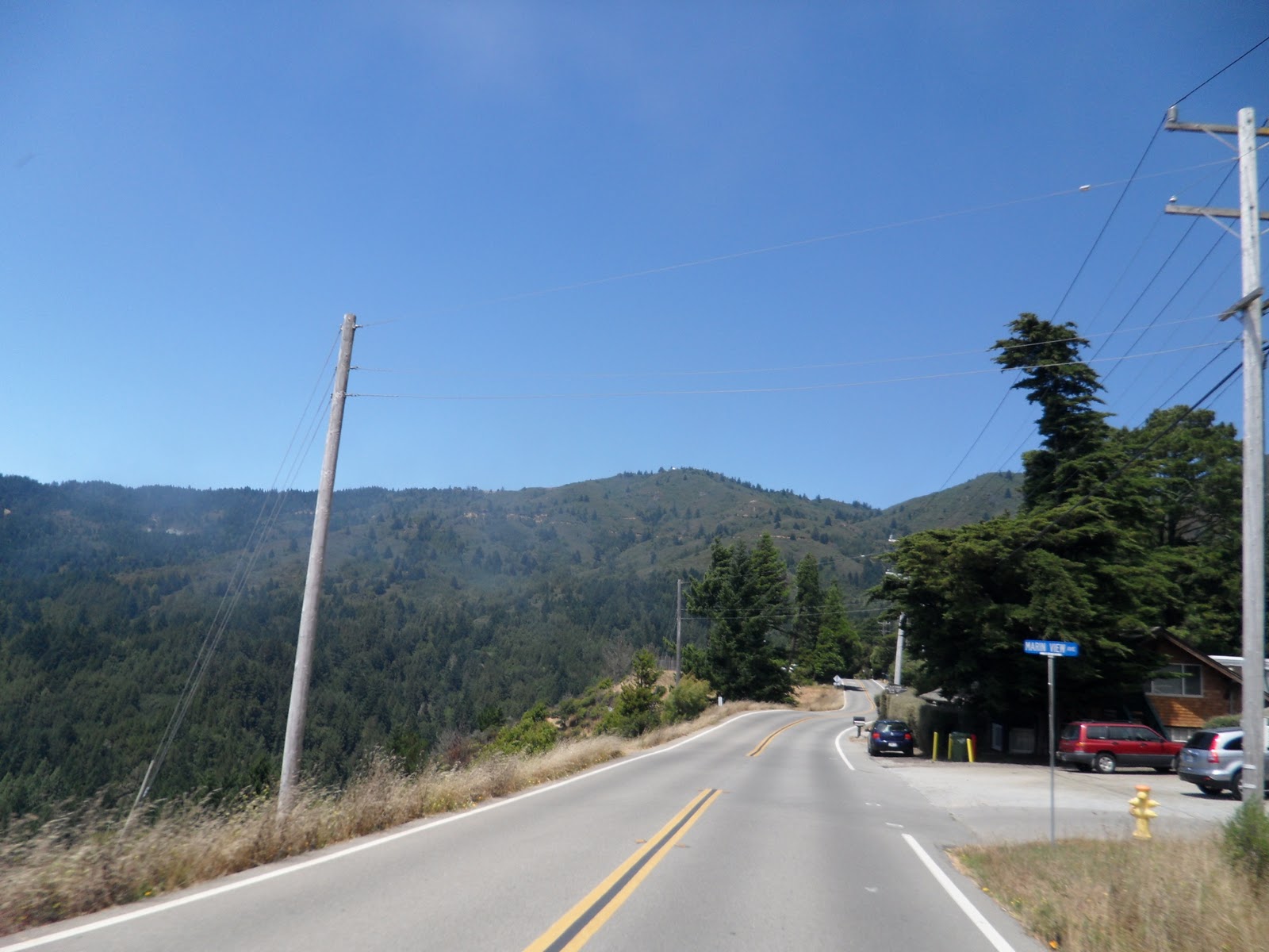
At the end of Sequoia Valley Road, turn right on Panoramic Highway.

After a brief break from climbing as you pass the Yoga on the Mountain sign, a half mile of very tough climbing begins.
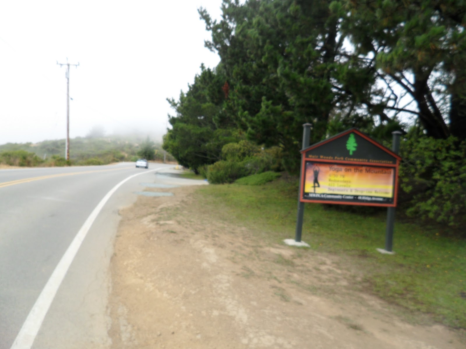
Yoga on the Mountain at the Muir Woods Community Center
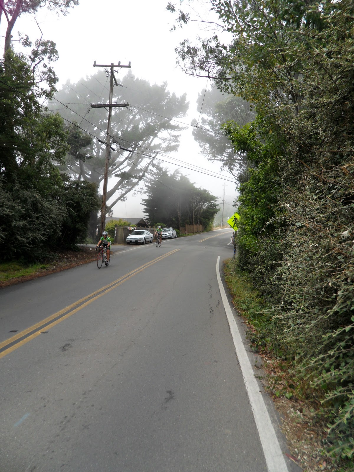
The climbing begins
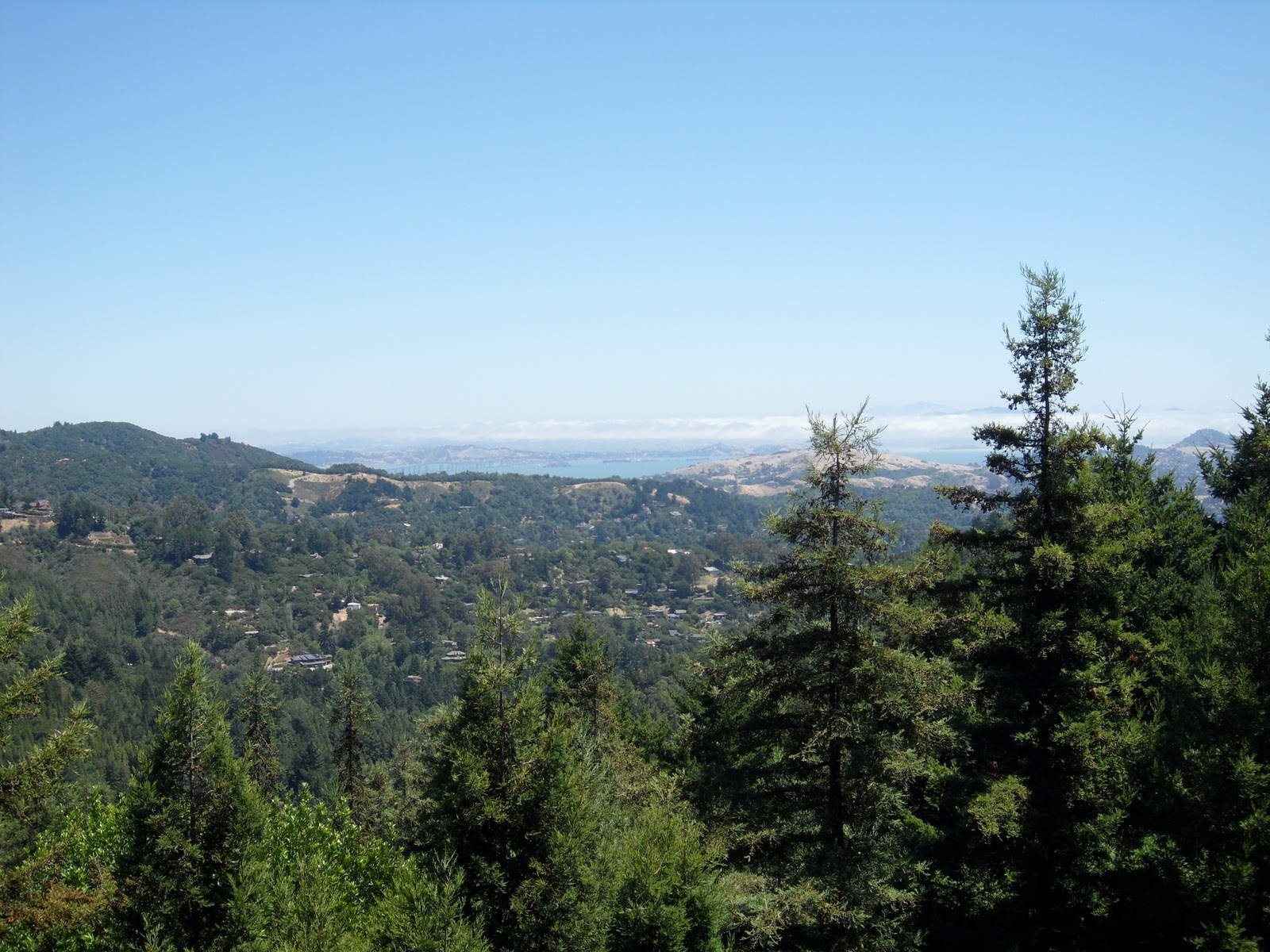
The initial two hills are broken up by a short flat where you have your first views of the valleys below.

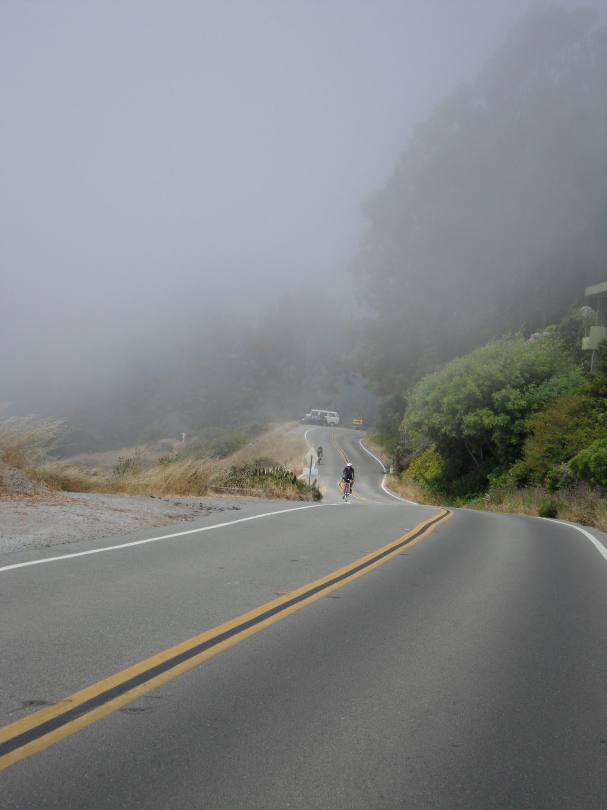
Passing over the valleys and climbing through the mist

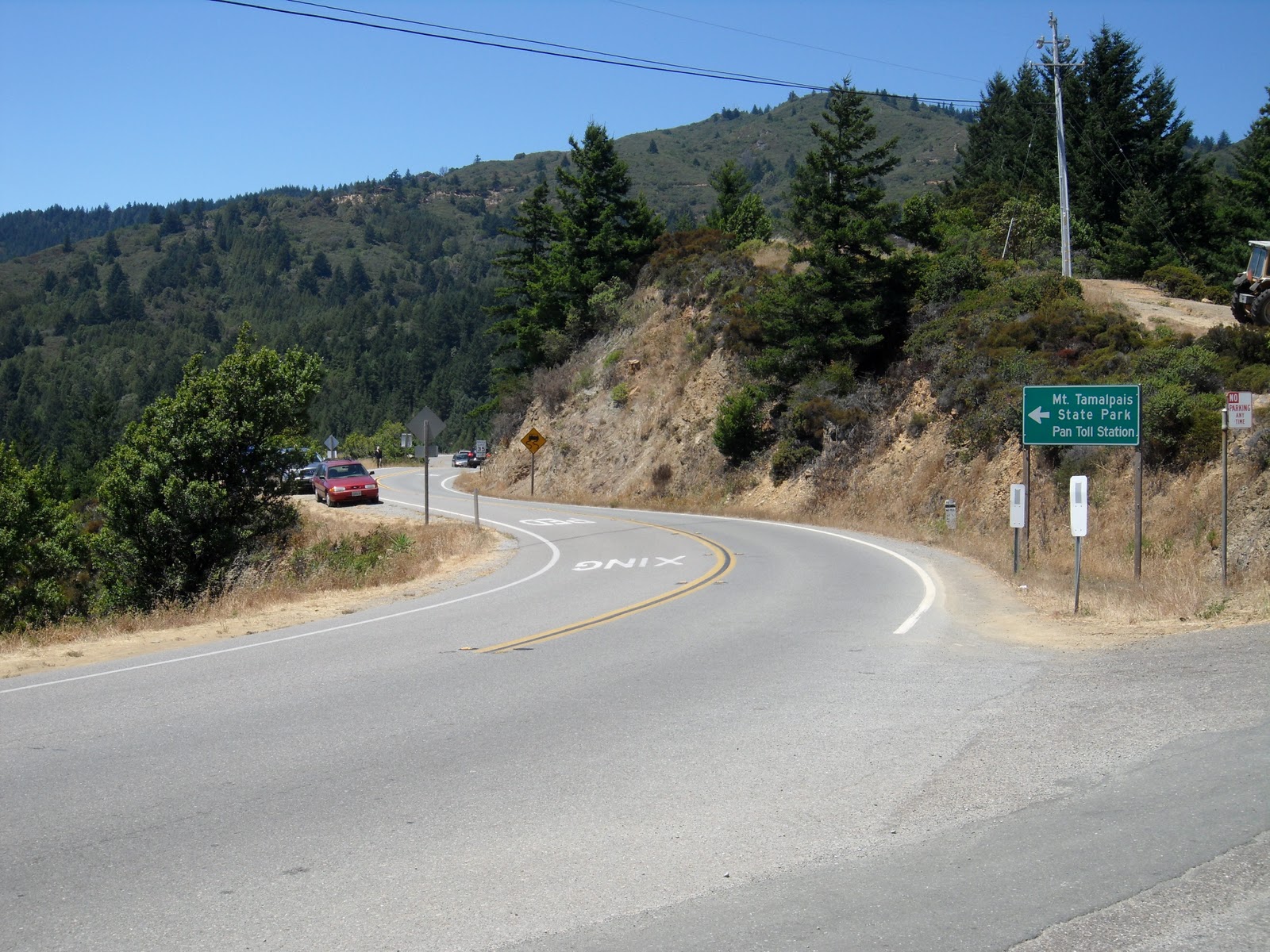
The second climb, as you reach the curve signs, you are almost there
At the top of the second climb you reach the only descent on this stage. Enjoy this pedal-free section as you take in spectacular views. The fog will break and views of the peaks around Mt. Tam and Muir Woods below will open. Though the route is sparsely populated, the Mountain Home Inn sits about halfway through this part of the trail.
Take a break and glide down the descent

If it starts out foggy, you

The peaks around Mt. Tam start to appear at this point along Panoramic Highway.

Muir Woods is visible in the valley below


Mountain Home Inn
If you are seeking a break or food before the next part of the assent, the Mountain Home Inn is a great place to stop and eat lunch. Amazing views of Mill Valley, Strawberry and Tiburon await you at the outdoor seating.
Follow the sign and keep climbing along Panoramic Highway. The next mile and a half of the route takes twists and turns through the woods. With flat to moderate climbing along this section you can pick up the pace.
You will notice the beginning of the major climb when you start slowing down and your legs begin to burn. This last mile and a half of the route is a tough, steep slog through the woods up to the crest of Panoramic Highway. Bootjack picnic area signals the last quarter mile of the climb.

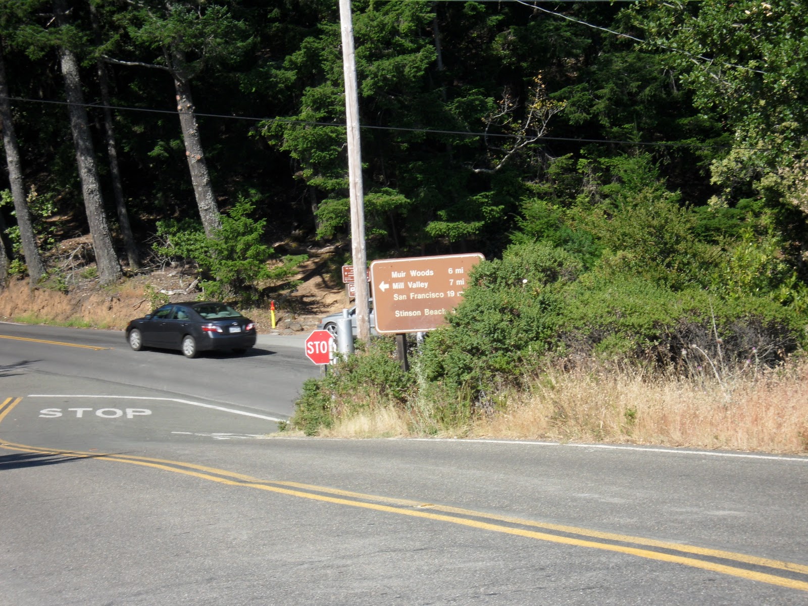
At Mount Tamalpais State Park, Panoramic Highway reaches its peak and signifies the end of this section of the Mt. Tam trail.

Entrance of Mount Tamalpais State Park

To the left, the descent to Stinson Beach. To the right, Pan Toll road and a continued assent of Mount Tamalpais looms.
With the final climb on Panoramic Highway over, you have a few options of what to do next. If a descent is calling your name, you can take a break, enjoy the spectacular descent into Stinson Beach and the views that go along with it. Just remember that what goes down, must climb back up. If your legs are still feeling strong, there are two more stages of climbing to summit Mt. Tam. Watch for our trail “Paying the Toll” detailing this assent coming soon.
If you are done climbing, the descent back to Sausalito down Panoramic Highway is seven fast and furious miles of twists and turns skimming the ridge above Muir Woods. You’ll easily keep up with the 30 mph speed limit and only be slowed down by the Sunday drivers.
