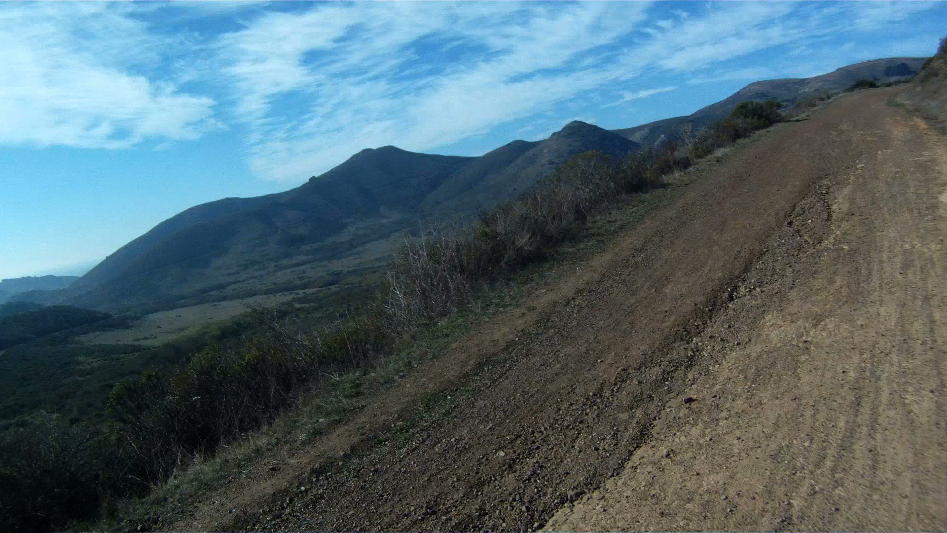
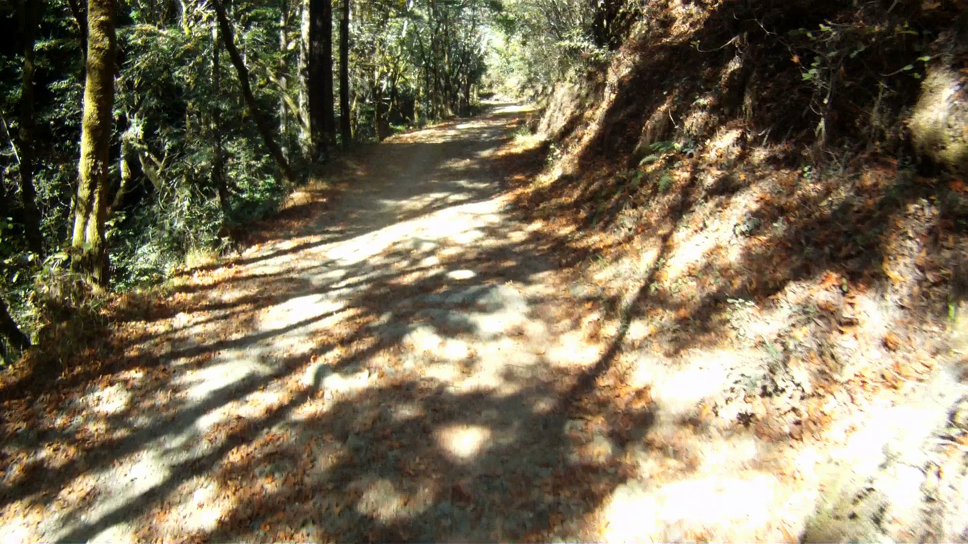
Mountain biking was invented in Marin County and there are numerous trails you can ride as you get deeper into Marin County. However, if you live in San Francisco, don’t have a car, or just don’t want to drive your bike to the trail, then there are a few trails just on the other side of the Golden Gate Bridge that you can ride to from the City. The first of these is the Bobcat Trail. This is a beautiful, but steep route which takes you up and down the Marin Headlands and then winds its way to Tennessee Valley.
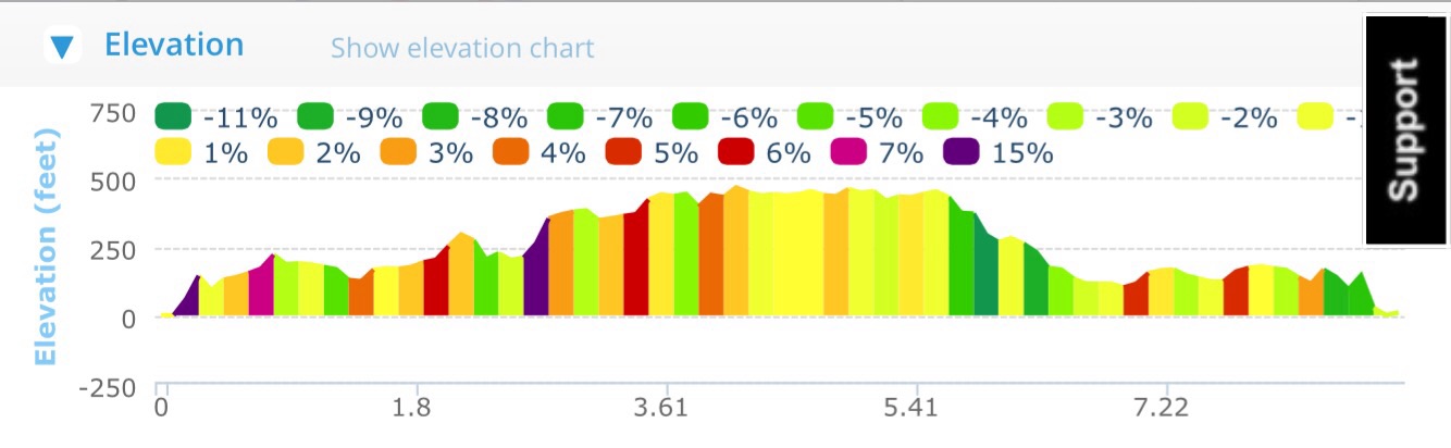
Distance: 6.3 miles (10.1 km)
Elevation Gain: 943 feet (287 m)
Difficulty: The loose terrain and ruts in the single track portion of the ride is a bit difficult, but the remainder, while steep, is wide and smooth. This is a good ride for intermediate cyclists.
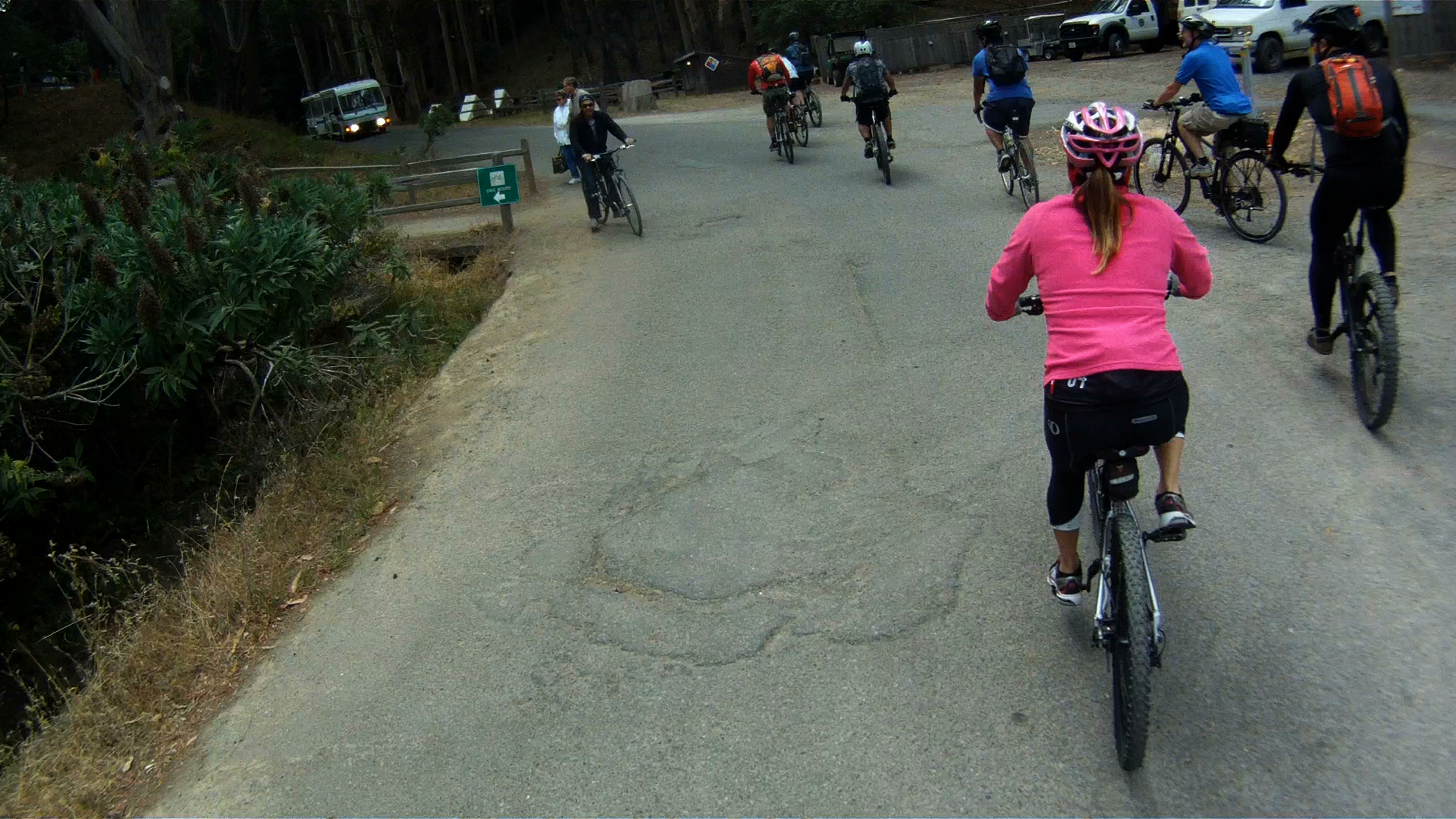
Starting at the roundabout on Conzelman Road, about halfway up the Marin Headlands route, head past the restroom and to the dirt trail. Follow the trail as it winds down the back of the headlands to Bunker Road.
Make a left at Bunker Road and follow it a few hundred feet to the next dirt trail which heads toward a parking lot on along Bunker Road.
Continue following the trail and make a right to cross over the bridge.
After the bridge, make a left at the intersection to continue on the trial.
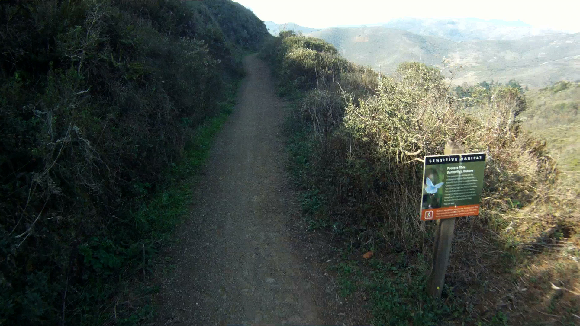
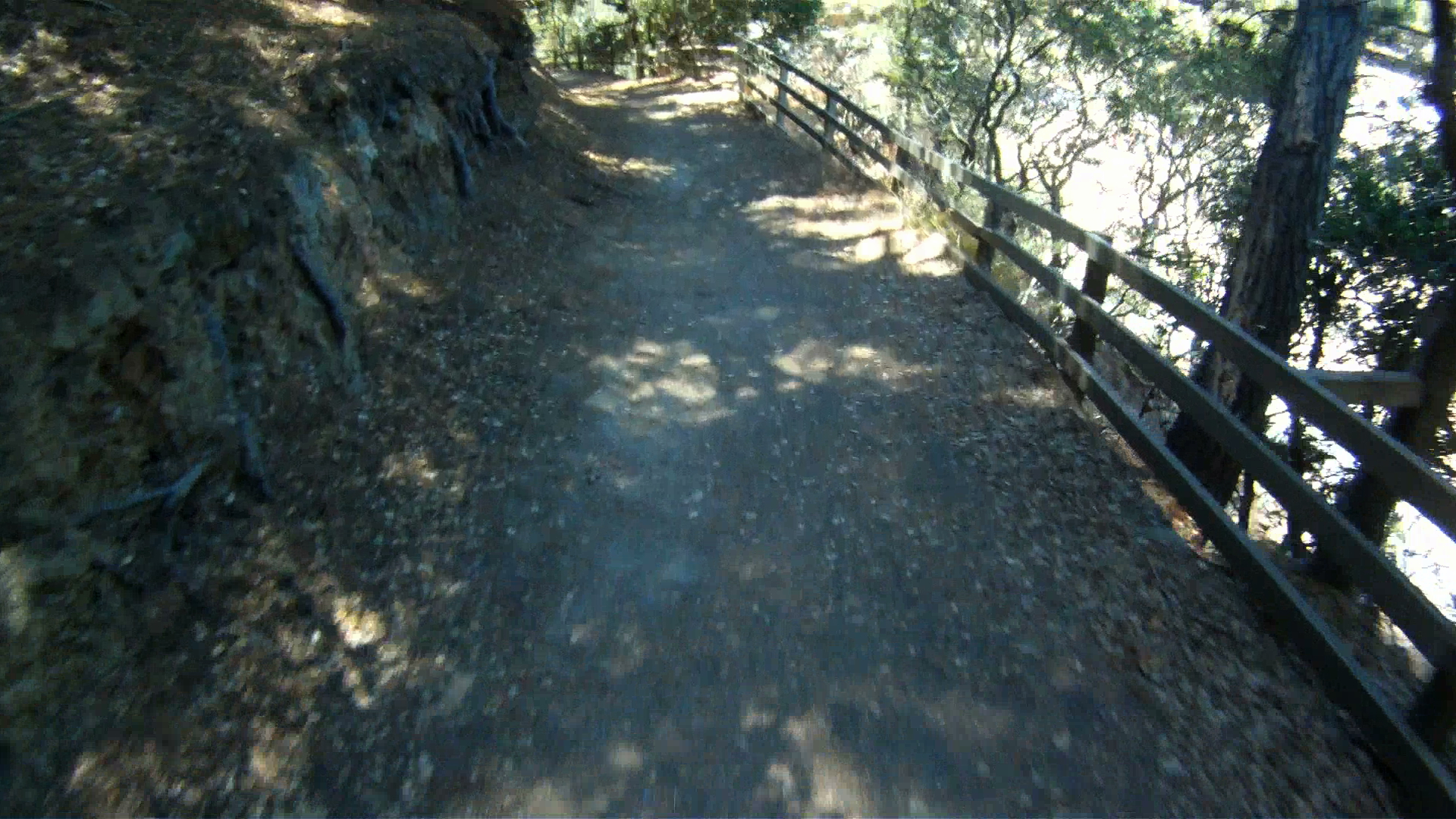
The trail merges with the Bobcat Trail at a tight intersection, watch for oncoming bikers and hikers as you turn right onto the Bobcat Trail.
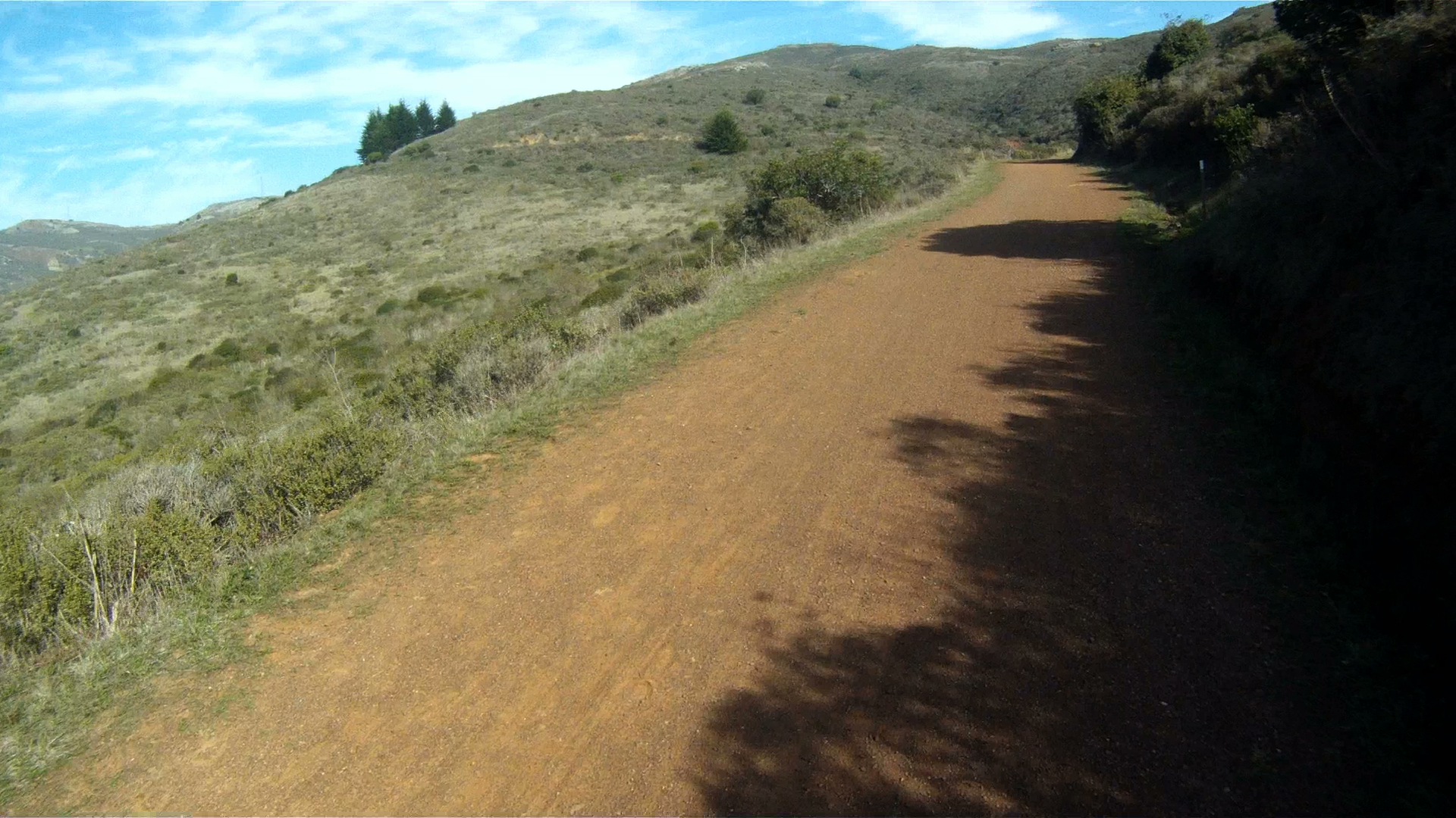
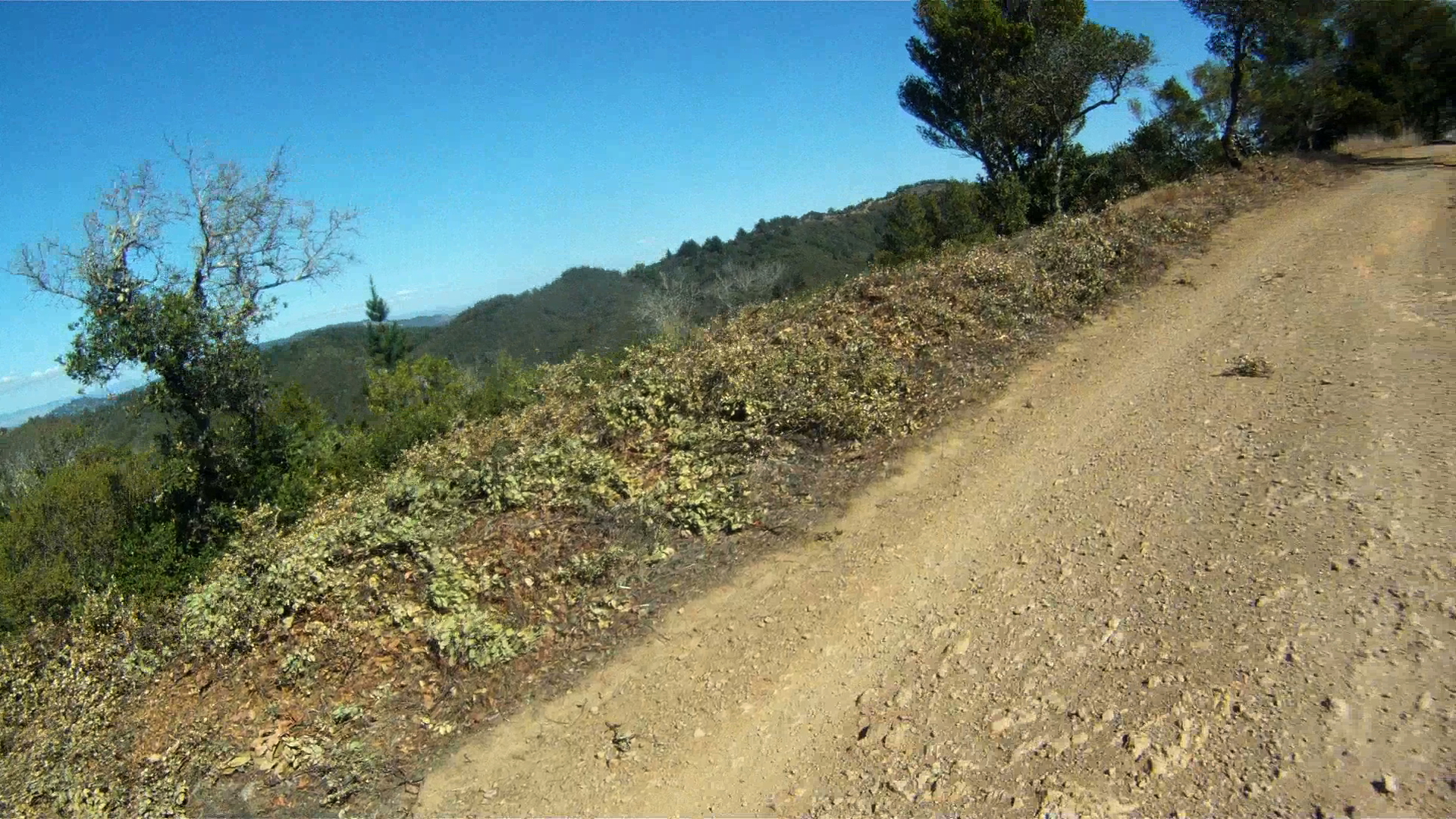
Follow the Bobcat Trail as it winds its way up and over the hills for the next two miles to the next trail intersection.
Continue along Bobcat Trail to the left down the deep descent.
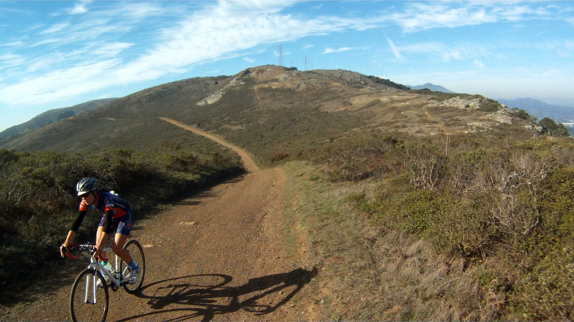
Continue climbing until the Bobcat Trail turns into the Marincello Trial and continue toward the right as the trail crests.
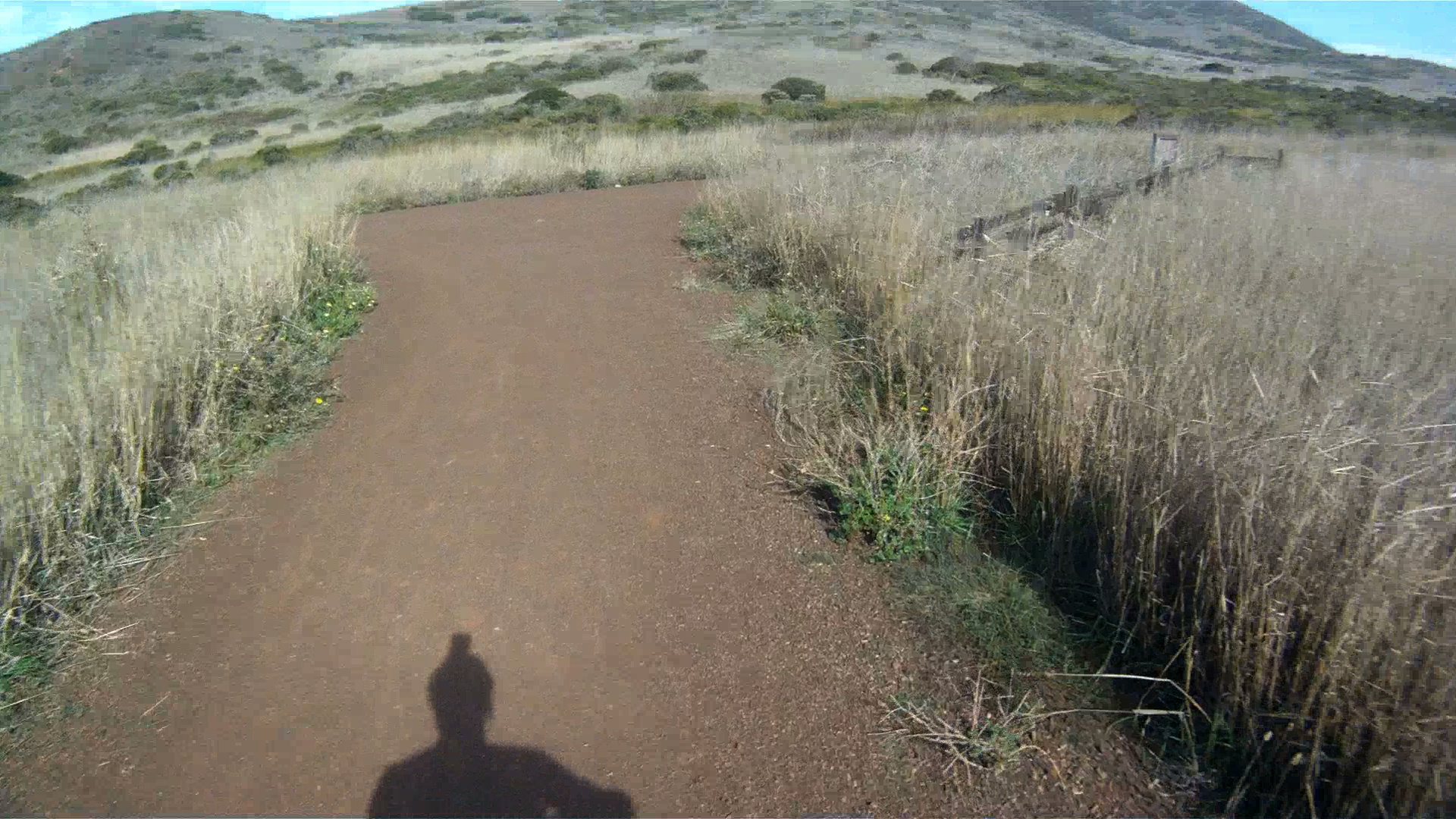
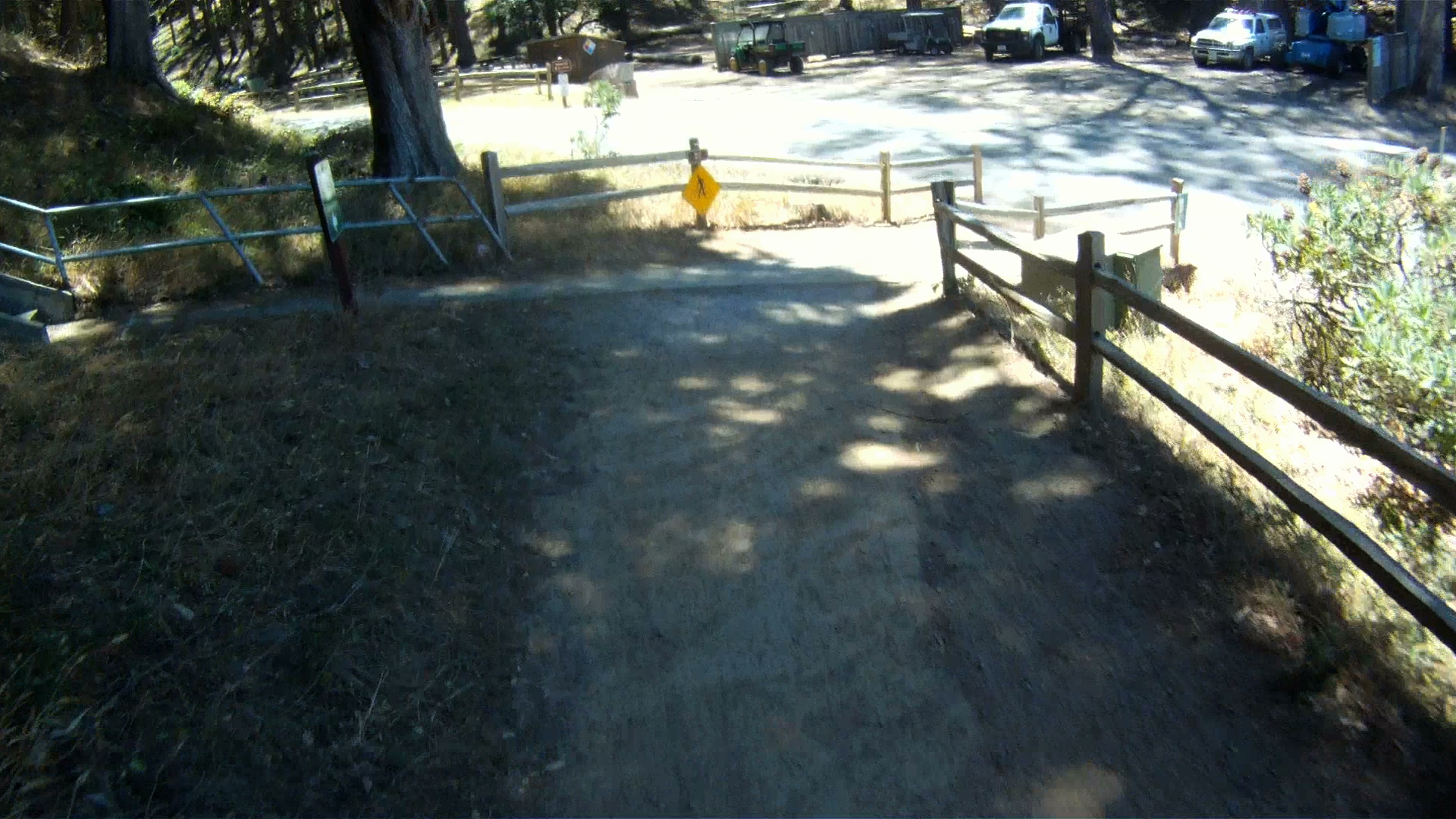
After the crest of the hill, check your brakes, take the fork to the right and get ready to descend then next 1.5 miles to the Tennessee Valley trailhead parking lot.
Where this route ends, your next choice begins. You can either head back to Sausalito via Tennessee Valley Road and the Marin Crossroads. Option 2 is to ride the Tennessee Valley trail to Tennessee Beach or the Coastal Trail. The final option is to ride back to the Marin Headlands via the Miwock Trail after walking your bike past the stables. Stay tuned to for future installments and trails.
Reaching the peak of Mt. Tam is an achievement for any biker, road or mountain. The second part of the ride from West Point Inn to East Peak is relatively tame, but worth the additional time for the wonderful views and sense of accomplishment.
Length: 1.7 miles (2.7 km)
Elevation Gain: 534 ft (163 m)
Difficulty: The second part of the climb is very tame with an optional steep grade at the entrace to the parking lot at the East Peak.
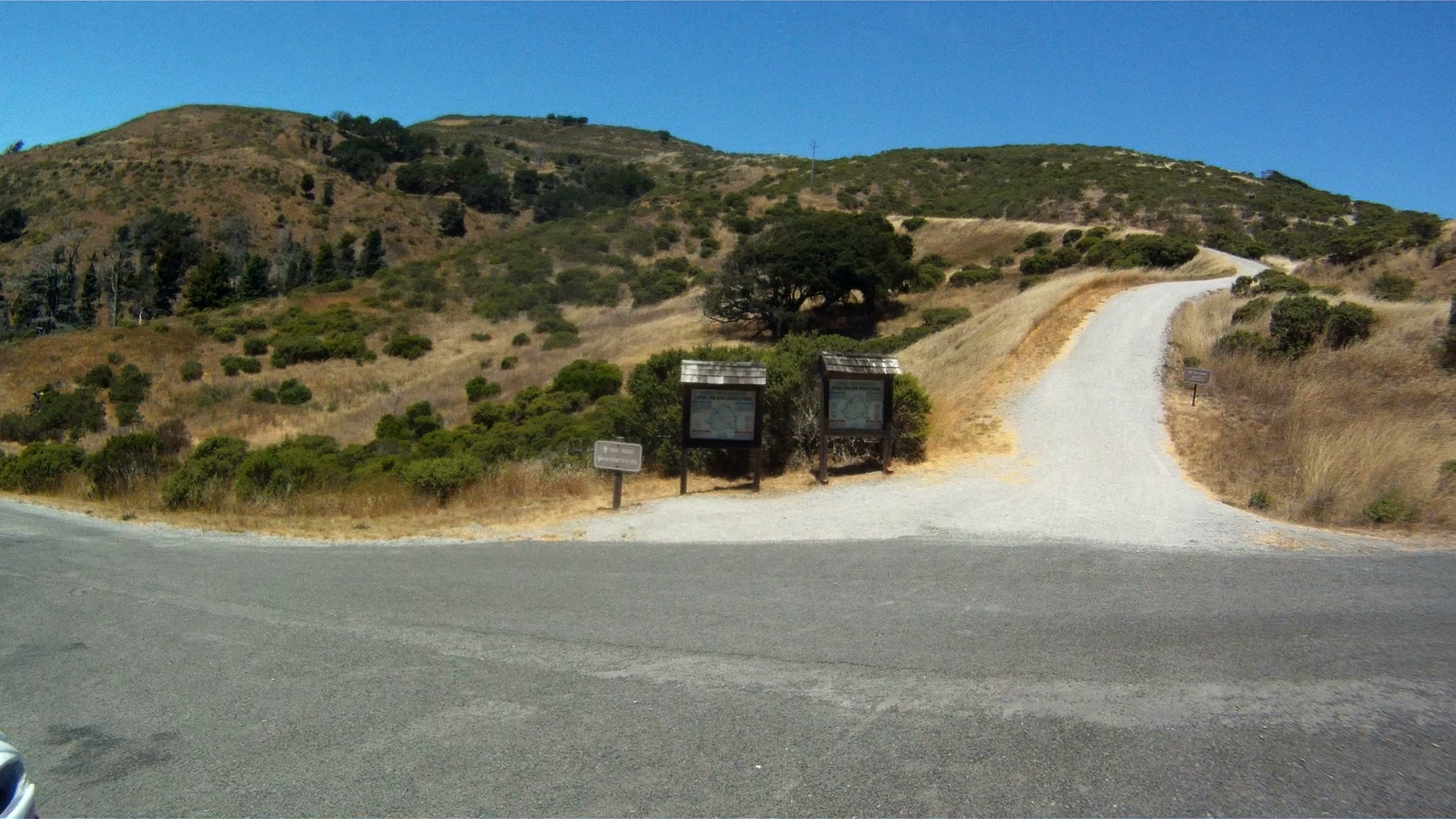
At the West Point Inn you will encouter the interstection with Old Stage Road. Old Stage Road is the trail that will take you back to the ranger station at the intersection of Panoramic Highway and Pan Toll Road as seen in the road bike trail …
From the West Point Inn, continue climbing and go toward the right past the interstection with Old Stage Road.
The climbing continues for just under two miles.
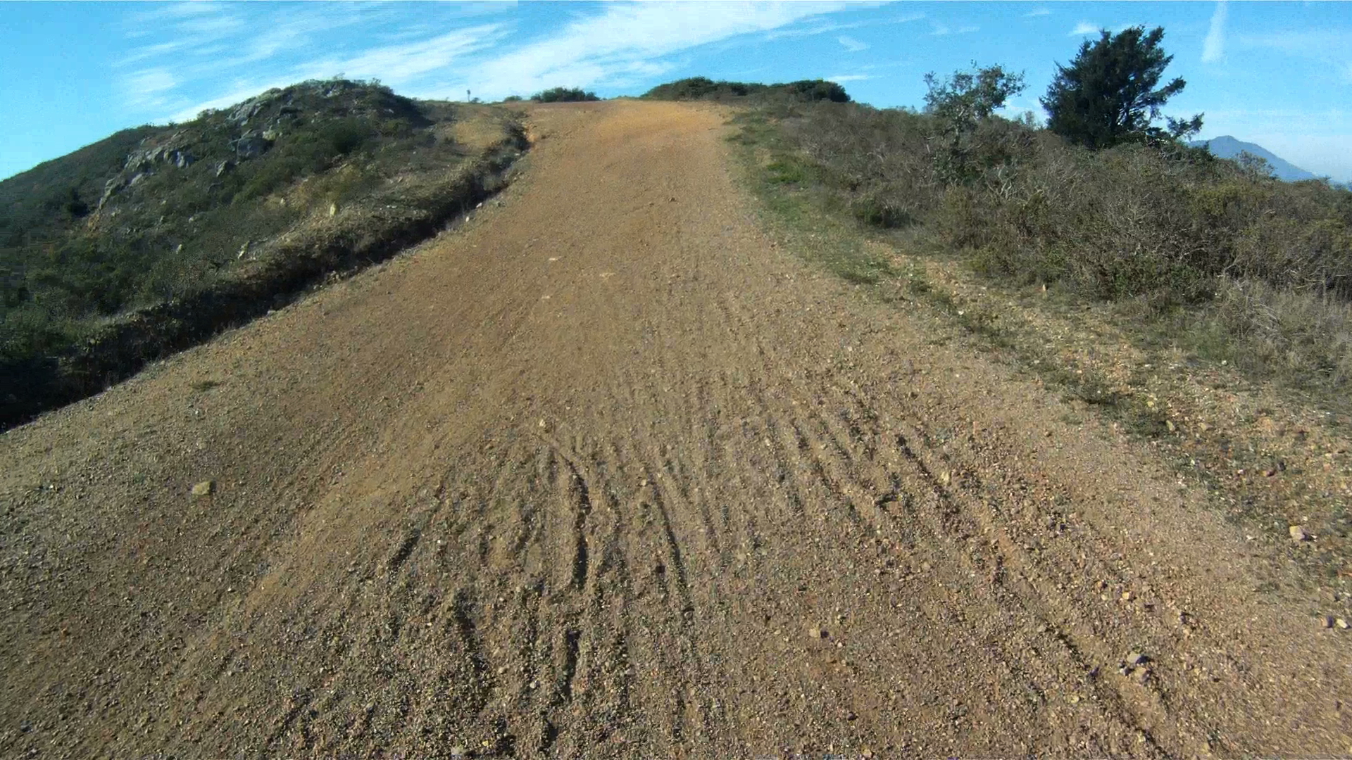
The trail ends at the “saddle” of Mt. Tam. The “saddle” is the dip between the Middle Peak and East Peak.
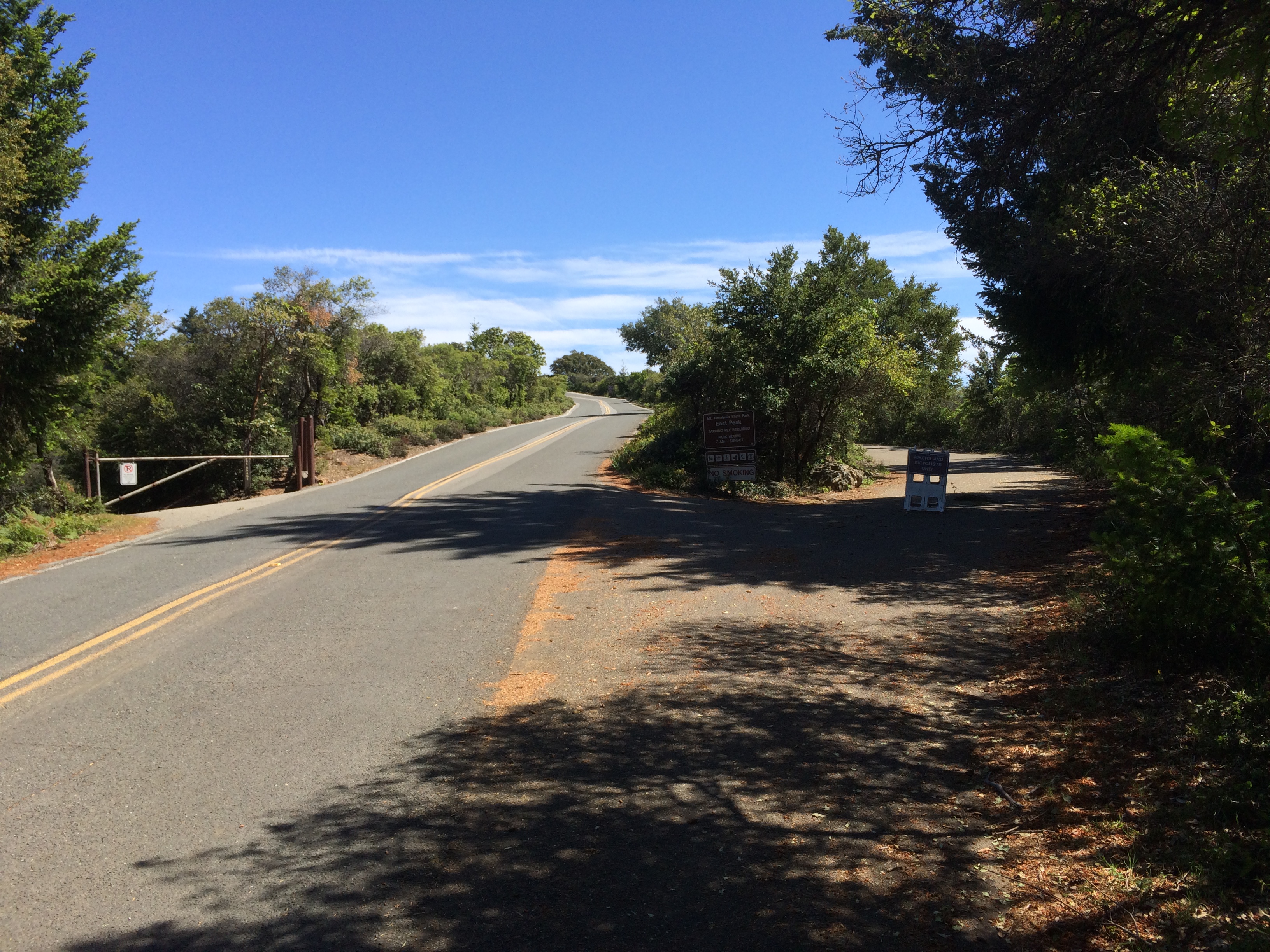
The top of the trail is marked by a gate.
Past the gate is East Ridgecrest Drive. From the gate, make a right and onto the road. Follow the road another hundred feet and your big decision of the day presents itself. There is a bike and pedestrian walking path on your right and the road to the parking lot straight ahead and the entrance to Eldridge Grade Trail to your left.
Eldridge Grade Trial will take you down the backside of Mt. Tam toward Ross and Fairfax. Following East Ridgecrest you will encounter a short, 18% climb leads directly to the parking lot and panoramic views all around. Taking the path winds you below the parking lot directly to the picnic table and bathrooms. It’s a much easier way to reach the top and just a quarter mile long.
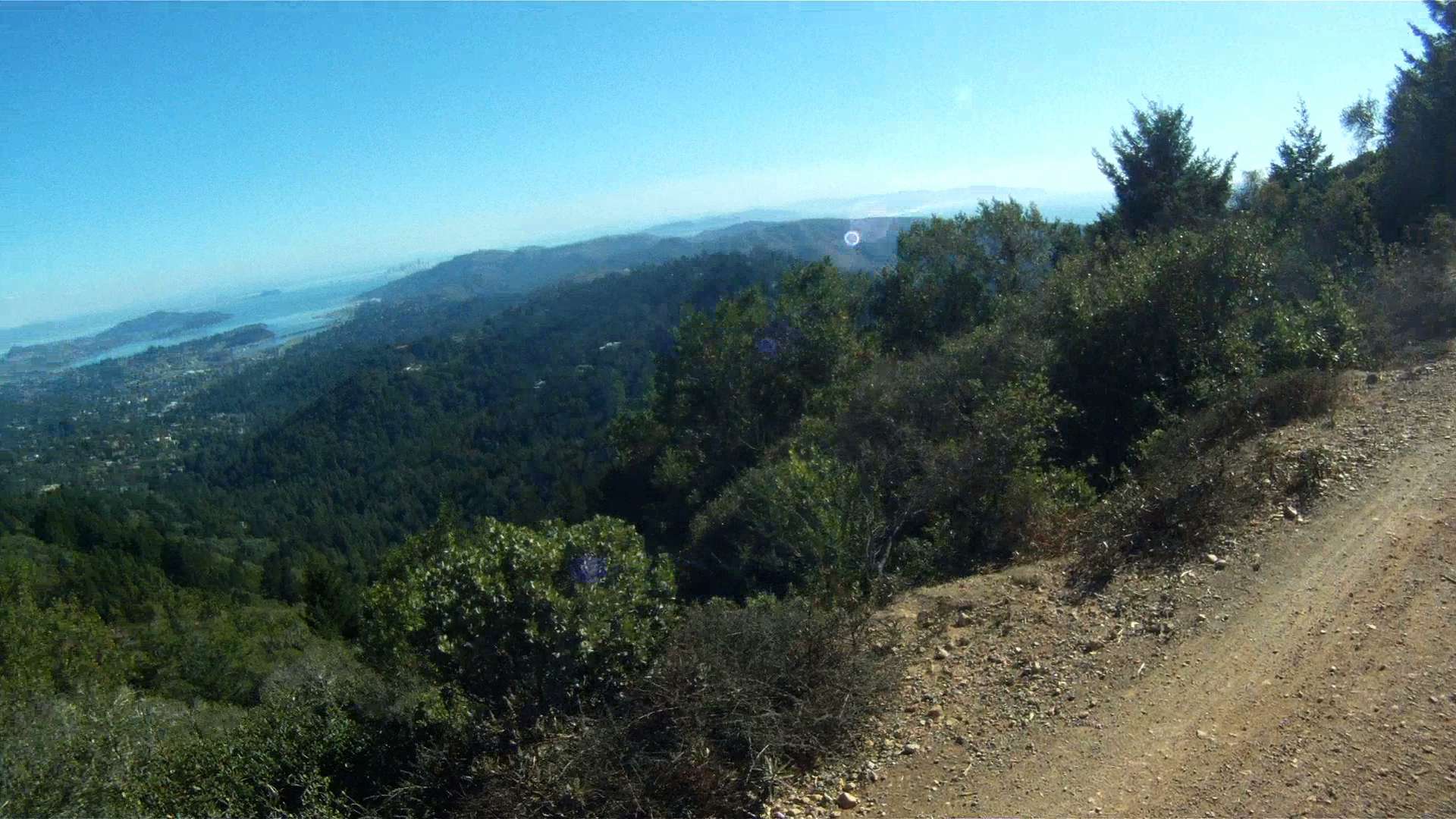
To your left, just past the picnic benches is a short path that leads you up to the parking lot, which have sweeping views of the Bay Area. At this point you’ve reached one of the pinnacle climbs in the Bay Area.
Enjoy the view and get ready for the 8.5 mile descent just ahead of you.
Mount Tamalpias (aka Mt. Tam) is the highest peak in Marin County and can be seen from all around San Francisco Bay. Making it to the top on your road bike is a feet as you conquer stage after stage of steep, leg-busting climbs.
However, on a mountain bike the climb to the top is a bit more gentle. It still includes a significant and lengthy climb, but the trail was carved by using the old railroad bed from “The Crookedest Railroad in the World” which took passengers and timber to and from the top of Mt. Tam from 1896 to 1930.
This first part of the trail takes you to the West Point Inn, a stop that has been open since 1904.
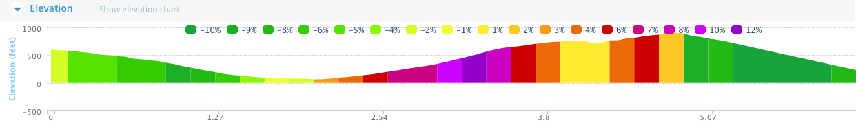
The total route is 8.25 miles long with gradients ranging from 4%-7%, and an average grade of 5%. While the significant uphill section is long and winding, the downhill is also steep and fast as the original trail was meant for a gravity train.
Length: 6.51 miles (11 km)
Elevation Gain: 1,704 feet (519 m)
Difficulty: The major challenge to this route is the constant climbing along with some rocky ground. While the pitch doesn’t go above 7%, breaks may be necessary just to keep you moving. This trail is not for beginners, but it can be conquered by mountain bikers with some pretty minimal experience.
Route
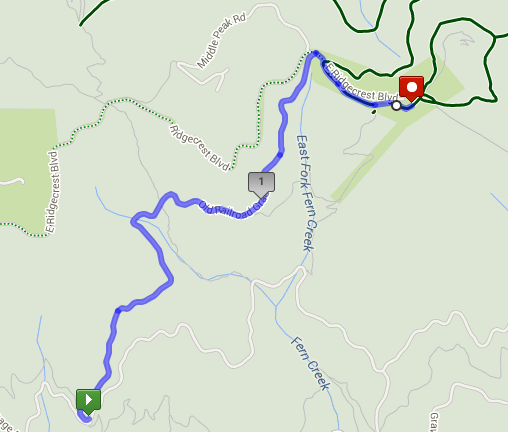
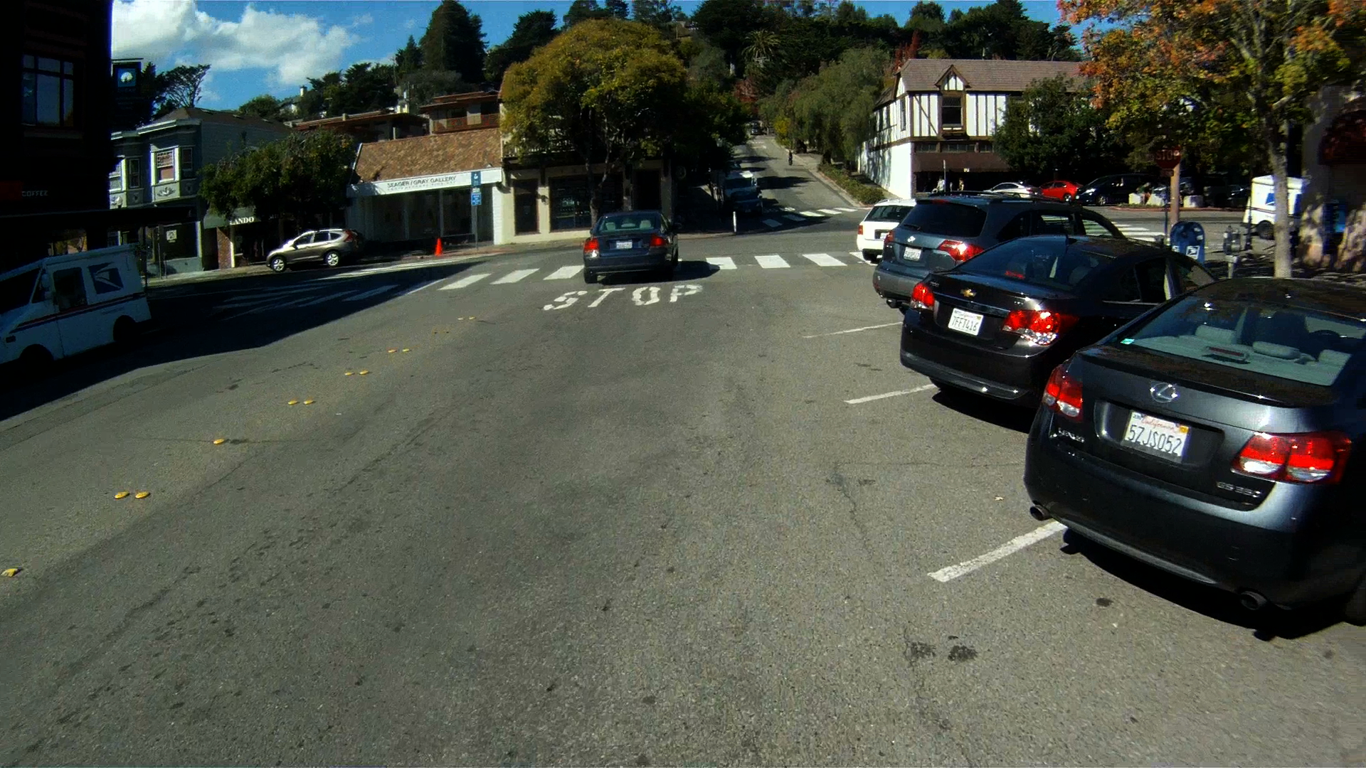
This route starts in downtown Mill Valley at the intersection of Throckmorton and Miller Avenue.
You’ll recognize this intersection from our route, Somewhere Over the Rainbow. This time, make a right on to Throckmorton and then another right onto Corte Madera Avenue.
Next, make a left on to West Blithedale Ave.
Follow West Blithedale for the next mile to Old Railroad Grade.
Make sure to make a left to follow West Blithedale at the intersection with Woodline Road.
Continue along West Blithedale for another half mile.
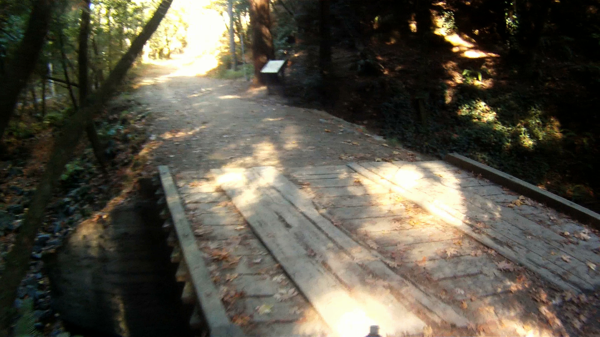
You’ll see the path entrance on your right through a gate.
Cross over the bridge just past the gate.
The climbing starts now. If you’re lucky, you’ll have the opportunity to see mountain biking pioneer and legend Gary Fisher as he swoops past you.
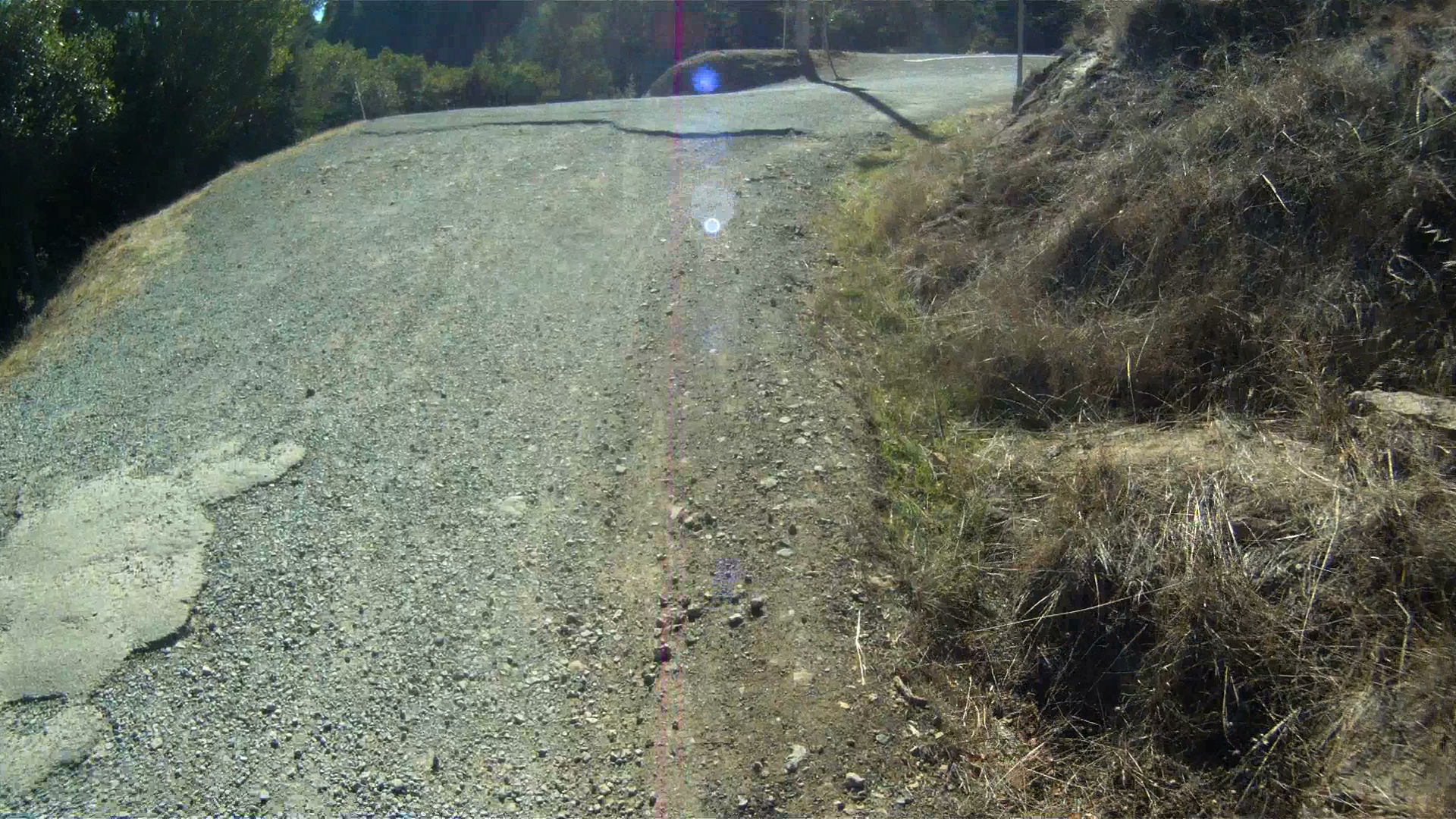
Continue climbing through the wooded fire road as it climbs higher and higher.
The tree cover will open as you continue climbing. Watch for the sweeping views.
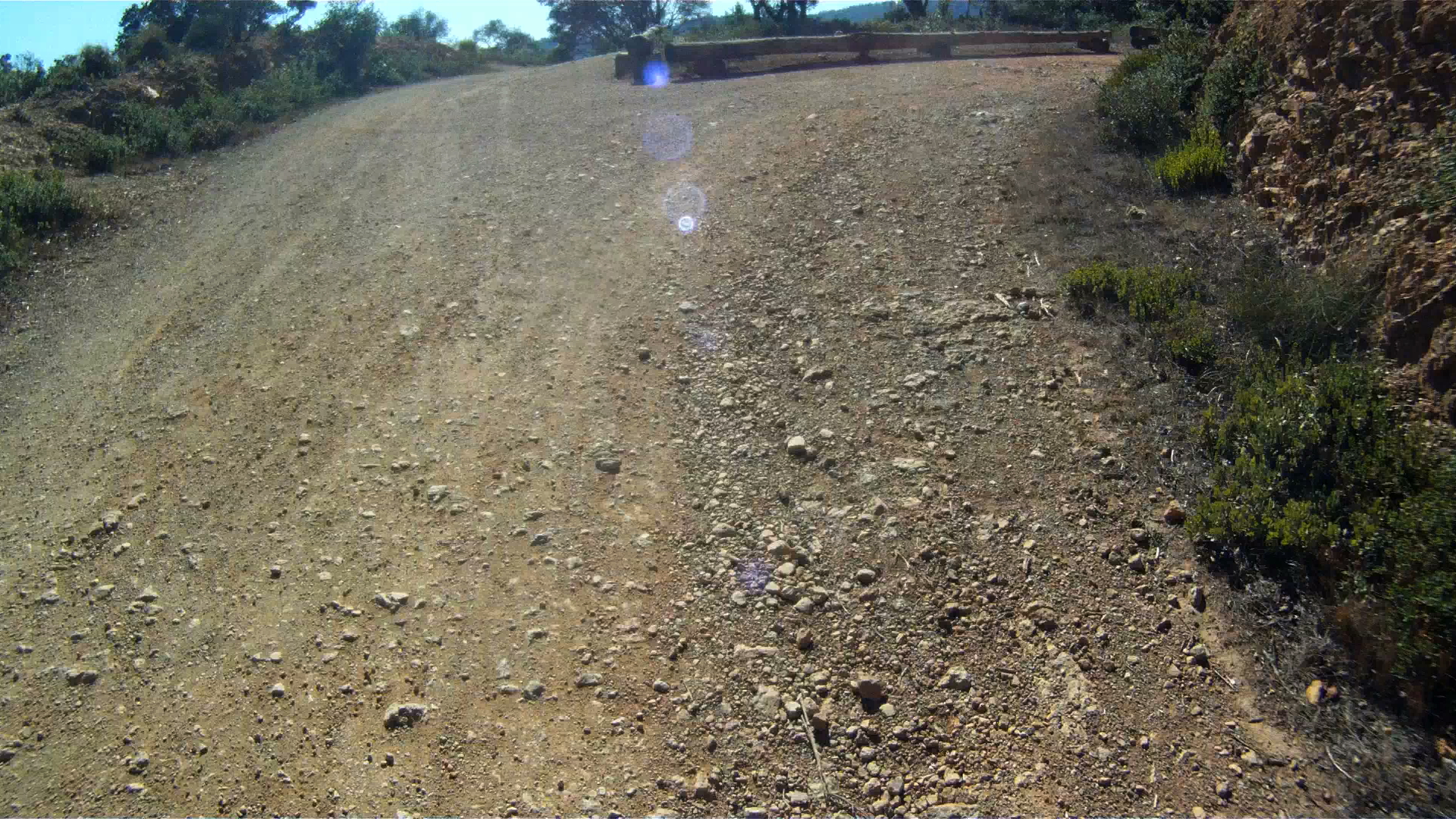
You’ll then encounter a gate with a bench and then Fern Canyon Road, which is a public road open to cars. Keep right and continue climbing.
Another mile or so along Fern Canyon Road and you’ll be back on the trail after going through the gate.
A short way down the path you will wind around a couple of 180 degree turns and pass Gravity Car Road. These are the start the next twisting climbs.
The Gravity Car Road leads back to Panoramic Highway right at the Mountain Home Inn. If you’re done climbing for the day, this is a good bail out option.
If you are ready to continue climbing, make a right where the trail intersects with the Gravity Car Road to continue climbing as Old Railroad Grade twists and winds around the mountain.
The climbing will continue for another mile or two until you reach the West Point Inn.
This is a great place to stop, use the “facilities” and take a well-deserved break.
We’ll pick up from here to take you the rest of the way to the top of Mt. Tam in the next installment. Stay tuned and have a great ride!
Everyone that comes to San Francisco knows the most famous island in San Francisco Bay, Alcatraz, but only a few know about the Jewel of the Bay, Angel Island.
Angel Island State Park, the largest island in the San Francisco Bay offers some of the best views of the surrounding Bay Area. It has been a cattle farm, a military barracks, a quarantine station, immigration station and now a nature conservatory.
This was our first endeavor in mountain biking and makes a great introduction for everyone.
Distance: 9.1 mile (one loop around the top and bottom trails)
Elevation Gain: 1017 feet (310 m)
Difficulty: Although you can ride your road bike along the lower paved path, the real fun comes when you hit the trails. This is a great beginner’s trail and gives you an amazing introduction to mountain biking without too much difficulty.
Getting to Angel Island
There are two ways to get to Angel Island. The easiest way to get there is to take the Blue & Gold Ferry from Pier 41. This ferry leaves at 9:45 am every day. You can buy tickets at the box office at Pier 41 or online.
The second way to get to Angel Island is to take the Angel Island Ferry from Tiburon. This ferry runs at a less regular schedule which varies throughout the year.
You can return to San Francisco either by taking the Blue & Gold Ferry directly back, or your can return to Tiburon, and return on a later ferry back from Tiburon.
When you arrive at Angel Island, you dock at Ayala Cove. This route is a set of loops, so you begin and end at Ayala Cove. This is the dock where you catch the ferry to both Tiburon and San Francisco.
From Ayala Cove, follow the trail to the Visitor’s Center. Bikes are not allowed on the pavement for a few hundred feet, so make a left onto the trial and follow it to the lower, paved route around the island.
Approximately a mile and a half down the path, you encounter the trail to Camp Reynolds. Camp Reynolds includes the brick barracks you see from Sausalito and the ferry.
This is an unpaved trail leads down to the Camp and the water’s edge if you turn right at the fork. At the Camp, you can experience a civil war cannon shot around 1 pm each day.
We prefer to continue along the path and turn left at the fork. This unpaved trail leads back to the main loop shortly ahead.
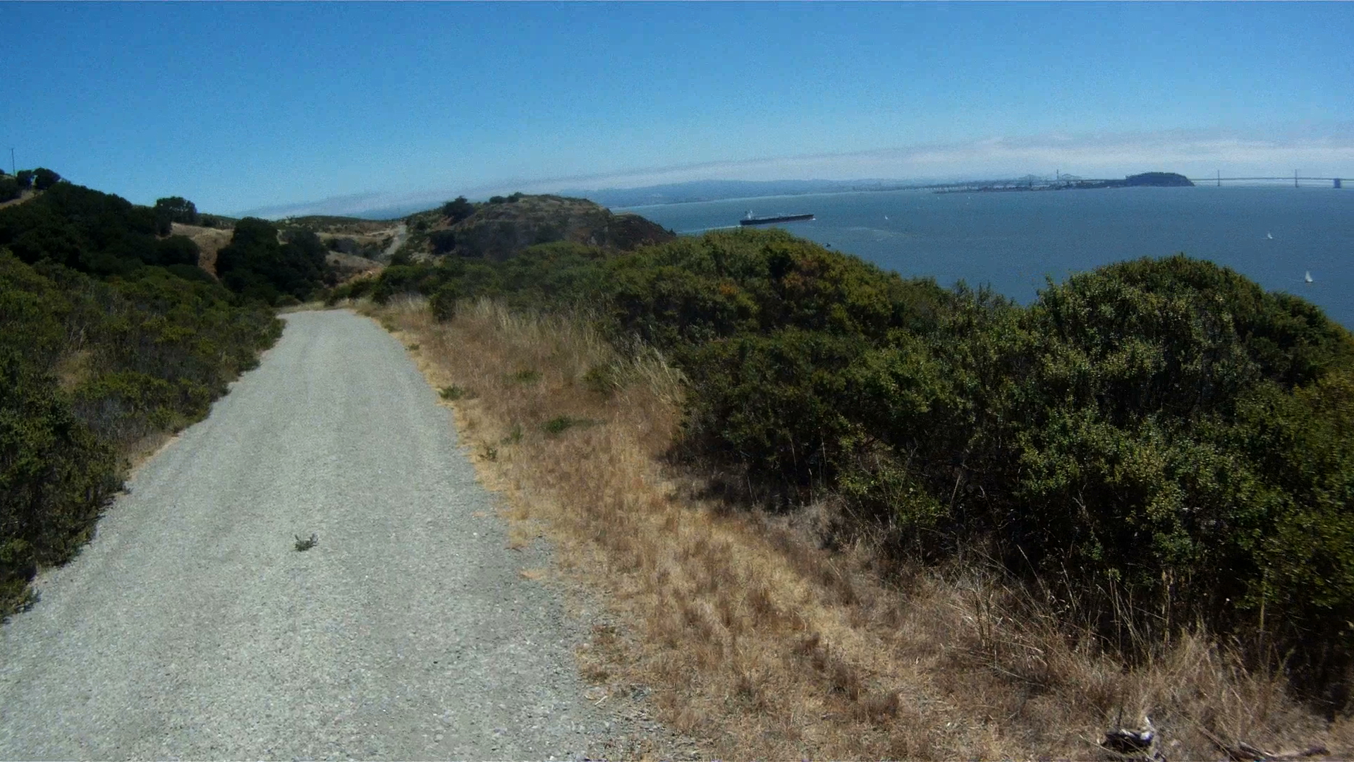
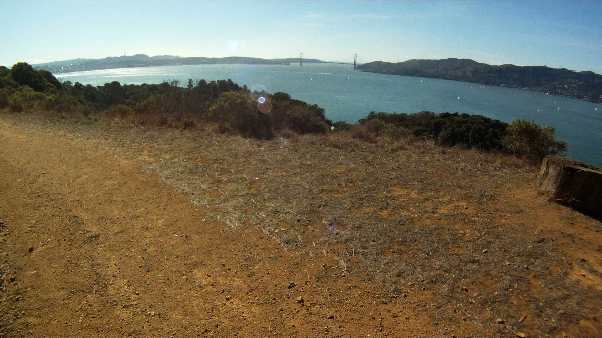
Back on the path, once you crest the hill you get amazing sweeping views of San Francisco from the Golden Gate Bridge to the Bay Bridge. Make sure to stop and take a few pictures, this is really one of the best spots on the island.
Continuing along the path, you can get your next round of trail riding on your way up to Battery Drew. To get there, take the left fork and head up the hill.
Keep climbing and you’ll get some more great views.
Your next taste of an off-raod downhill is next up. Its got some loose gravel, some dirt and an nice fast slope.
A short ride back along the the path and your entrance to the upper off-road trail is on the left.
The entrance is a steep path with loose rock, so get a head of steam and power your way to the top, where you’ll immediately turn right.
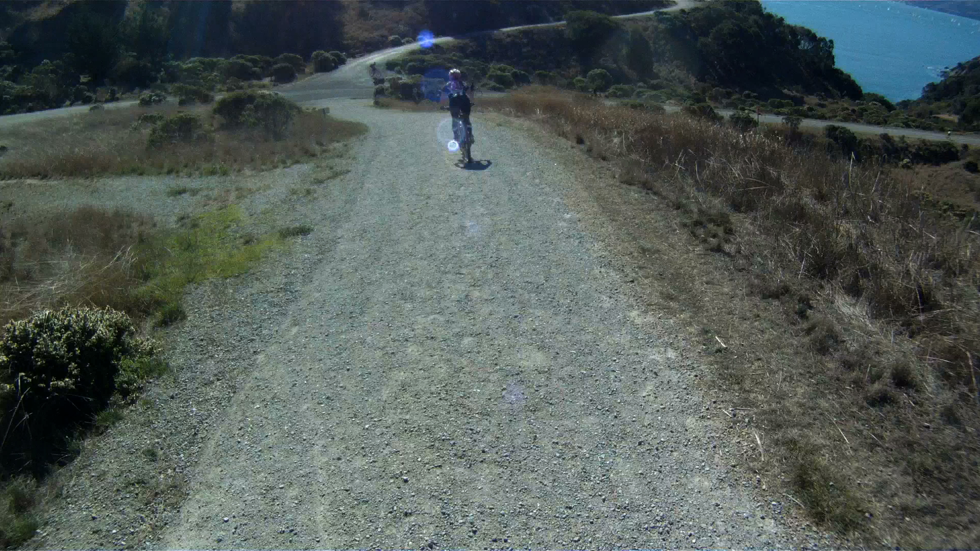
Follow the upper path as it rolls along with eastern shore of the island with many of the island’s buildings below.
About halfway along the eastern side, the path makes a sharp left up the hill, away from the picnic area.
Climb past the water housing area, and watch for deer here. Just past then fence the path takes another left.
Continue along the gently rolling path and enjoy the gorgeous scenery as you traverse the northern side with Tiburon across the channel.
As you approach the western side of the island, you’ll see Sausalito and the Golden Gate Bridge.
The path rolls downhill as it leads you back to the return to the lower main road.
You can ride the upper path again if you are up for it, or you can turn right and go back to complete the lower path.
When you are ready to head back to the lower path, turn right down the hill and continue straight at the intersection. You’ll get more sweeping views of San Francisco from the Bay Bridge to the Golden Gate Bridge.
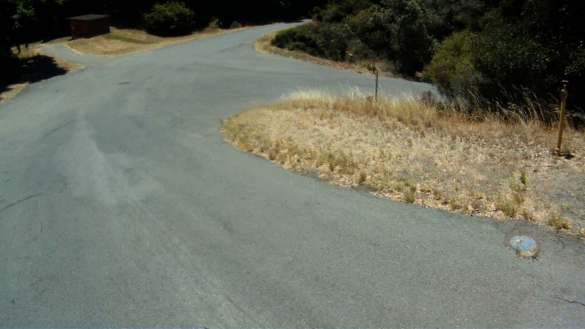
A short way down the path is the best paved downhill of the day. It’s a quick descent with a curve to the left at the bottom where the road forks.
Quarry Point is down the road on the right. You’ll see housing barracks on the left of the main path and a dock lower down the hill to the right. This part of the island was a rock quarry from 1850 through 1922 and used to construction buildings from Alcatraz to Fort Point and even the California Bank building in the Financial District of San Francisco.
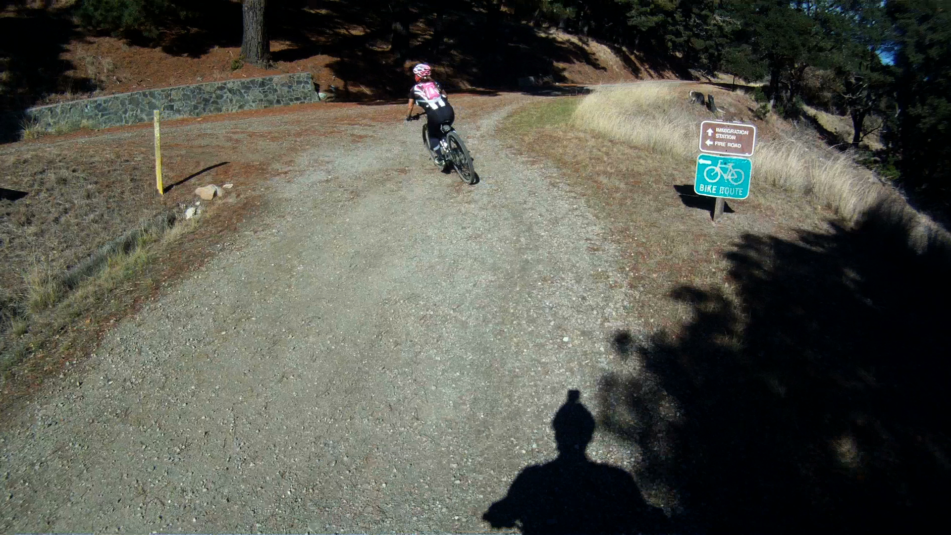
Further along the path you’ll pass by the Immigration Station. You can go for a stroll or take a tour of the Immigration Station. This immigration station was in use from 1910 thought 1940.
The rest of the route is another 1.5 miles of rolling path back to Ayala Cove. Watch for the entrance back to the bike route, it is a sharp right after a quick downhill.
If you miss the turn, no big, just continue on and turn around.
Follow the path and return back to the docks at Ayala Cove where you can pick up a ride back to Tiburon or San Francisco.
After a day of adventure on Angel Island, you really get a sense of how much fun mountain biking can be. While most of the route is pretty tame, there is some loose terrain and quick descents that give you a sense of trail riding.
While accessing this park is a bit more complicated than just hopping in your car, it is totally worth while. The views, the experience and the fun you will have both on the island and on the boat to the island are memories waiting to be made.